 Campsite Atlas
Paradise Point
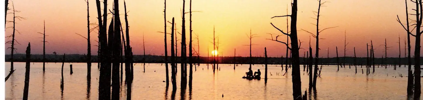
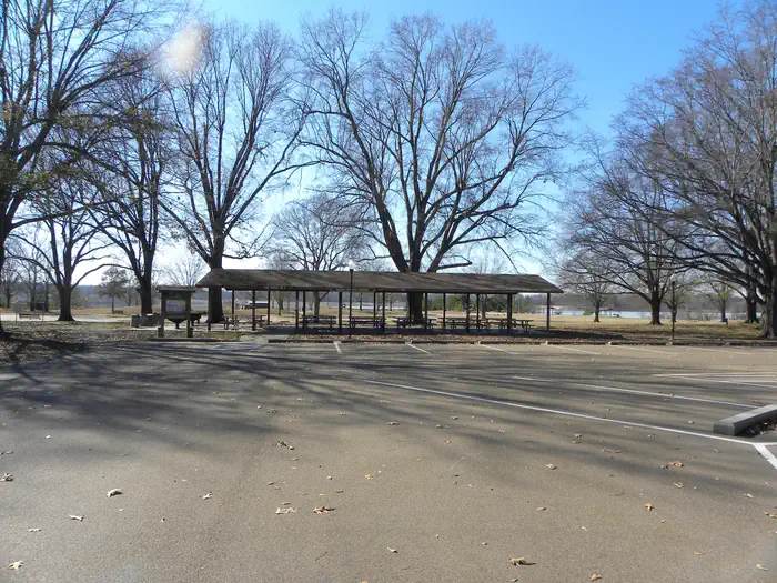
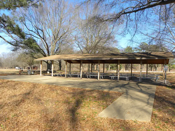
Welcome to Sardis Lake, we are glad you have decided to learn more about our lake and know you will have a good time once you get here. Whether you are planning for a day or a week; or if you are into the outdoors, hunting, fishing, boating or camping, you are going to discover a wide selection of activity options. Sardis Lake stretches over 98,000 acres of land and water through Panola, Lafayette and Marshall counties in beautiful Northwest Mississippi. Come explore and discover for yourself our forest, lakes and recreational activities. Paradise Point is one of the most popular spots at Sardis Lake for picnicking or taking a swim in the beautiful Lower Lake.
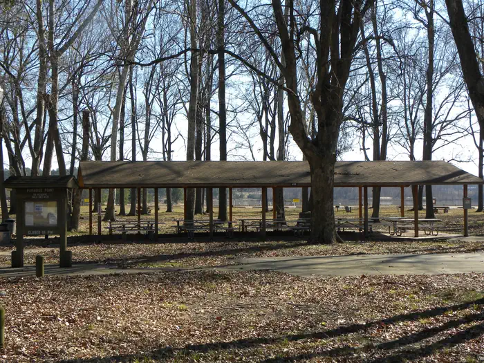
Campsites
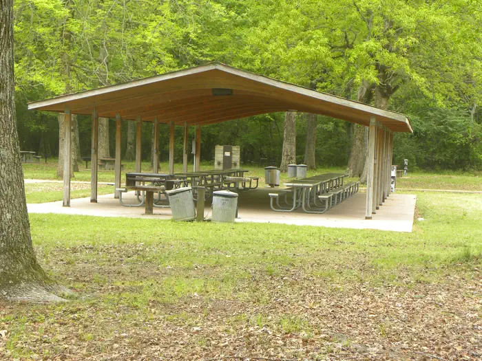
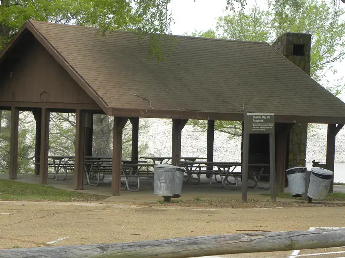
| group shelter electric | 2 |
| Total | 2 |
Getting there
From Interstate 55 at Batesville, MS the area is approximately 8 miles east on MS Hwy 35 / 315. From Interstate 55 at Sardis , you can drive approximately 8 miles east on Hwy. 315 to reach the area.
Campgrounds nearby
 Reservable
0.1 miles away
 Reservable
0.2 miles away
0.4 miles away
 Reservable
0.5 miles away
 Reservable
0.8 miles away
 Reservable
1 miles away
Data source: Recreation.gov RIDB, retrieved August 30, 2026. The Campsite Atlas is an independent publication and is not affiliated with or endorsed by the Recreation.gov or any federal agency. Always confirm critical details on the official Recreation.gov page before you travel.