 Campsite Atlas
Arlie Moore Day Use
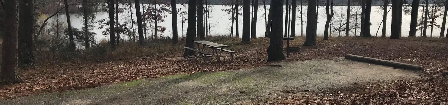
Arlie Moore Campground and Day Use Area sits on the northern banks of DeGray Lake in the foothills of the Quachita Mountains. Hikers find Arlie Moore particularly inviting. In past years, the National Recreation Reservation Service selected the Arlie Moore Interpretive Trail as one of America's Top 25 Hiking Trails. Boating, water skiing, kayaking and other water sports are the biggest draw to the lake, and a boat ramp and swimming beach are provided. The lake is also stocked with a variety of game fish, including plenty of hybrid striped bass, making it an ideal area for both boat and bank fishing.
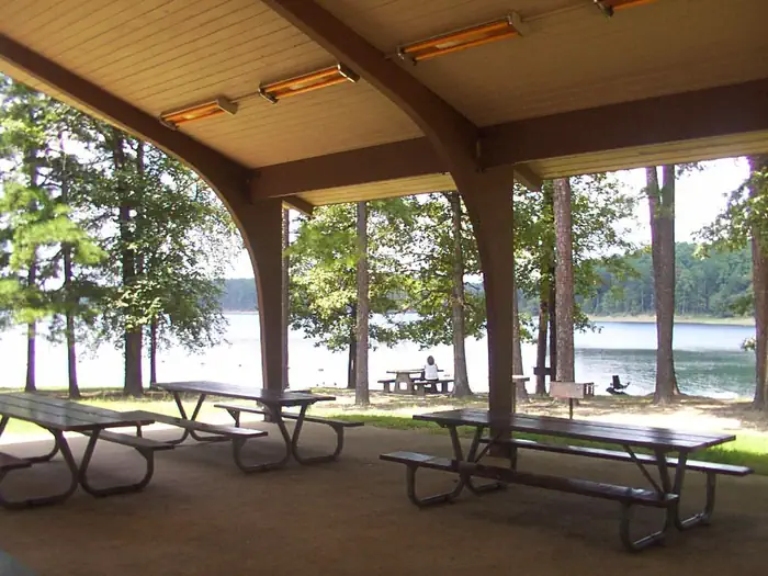
Campsites
| group shelter electric | 1 |
| Total | 1 |
Amenities & rules
Compiled from site-level records; individual sites vary. Confirm on Recreation.gov or with the managing office.
Getting there
From Interstate 30 take exit 78. Merge onto State Highway 7 north for 9 miles. Turn left onto Arlie Moore Rd and continue 2.3 miles to Arlie Moore Day Use Area.
Campgrounds nearby
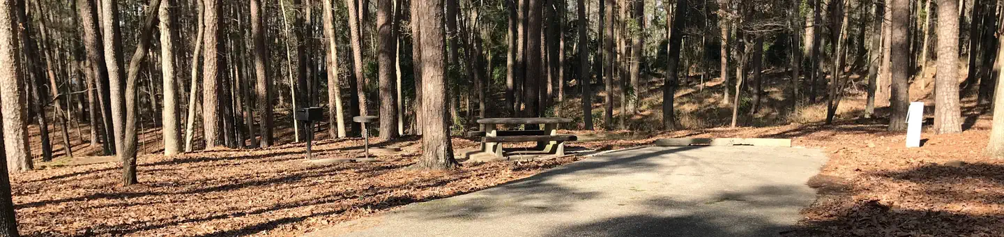 Reservable
0.3 miles away
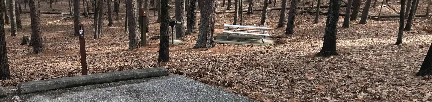 Reservable
0.9 miles away
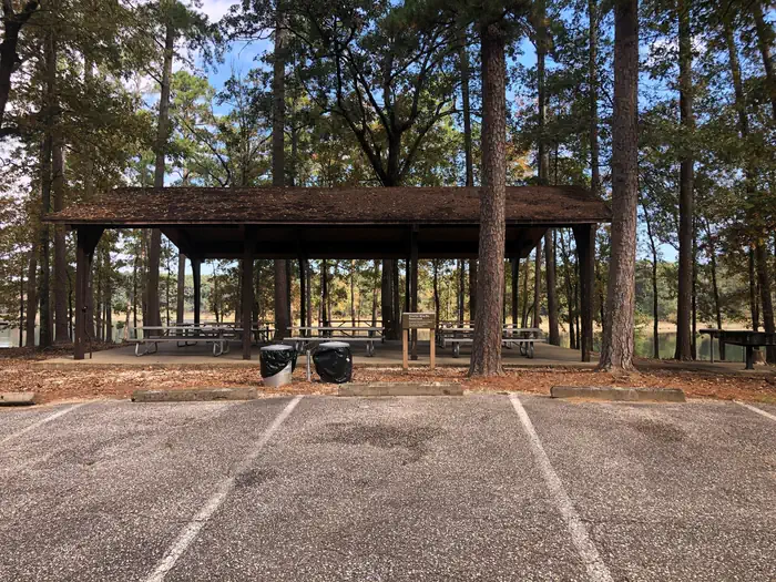
 Reservable
1.2 miles away
 Reservable
1.4 miles away
 Reservable
1.7 miles away
Data source: Recreation.gov RIDB, retrieved August 30, 2026. The Campsite Atlas is an independent publication and is not affiliated with or endorsed by the Recreation.gov or any federal agency. Always confirm critical details on the official Recreation.gov page before you travel.