 Campsite Atlas
Highway 7 Recreation Area
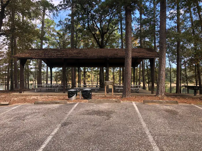
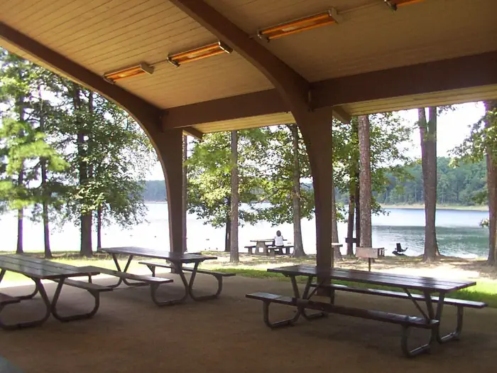
Highway 7 is a small, popular scenic area adjacent to State Highway 7. A narrow wooded land spur provides the facilities and ennvironment picnickers enjoy throughout the warm and mild season. A group shelter is located inside the loop turn-around at the extreme west end of the area. The open and gradually sloping land near State Highway 7 provides two beach areas where visitors find relief from high summer temperatures. DeGray Lake hosts thousands of professional fishing tournaments, triathlons and it is one of the most popular swimming destinations in the region. The area is also ideal for boating and jet skiing.
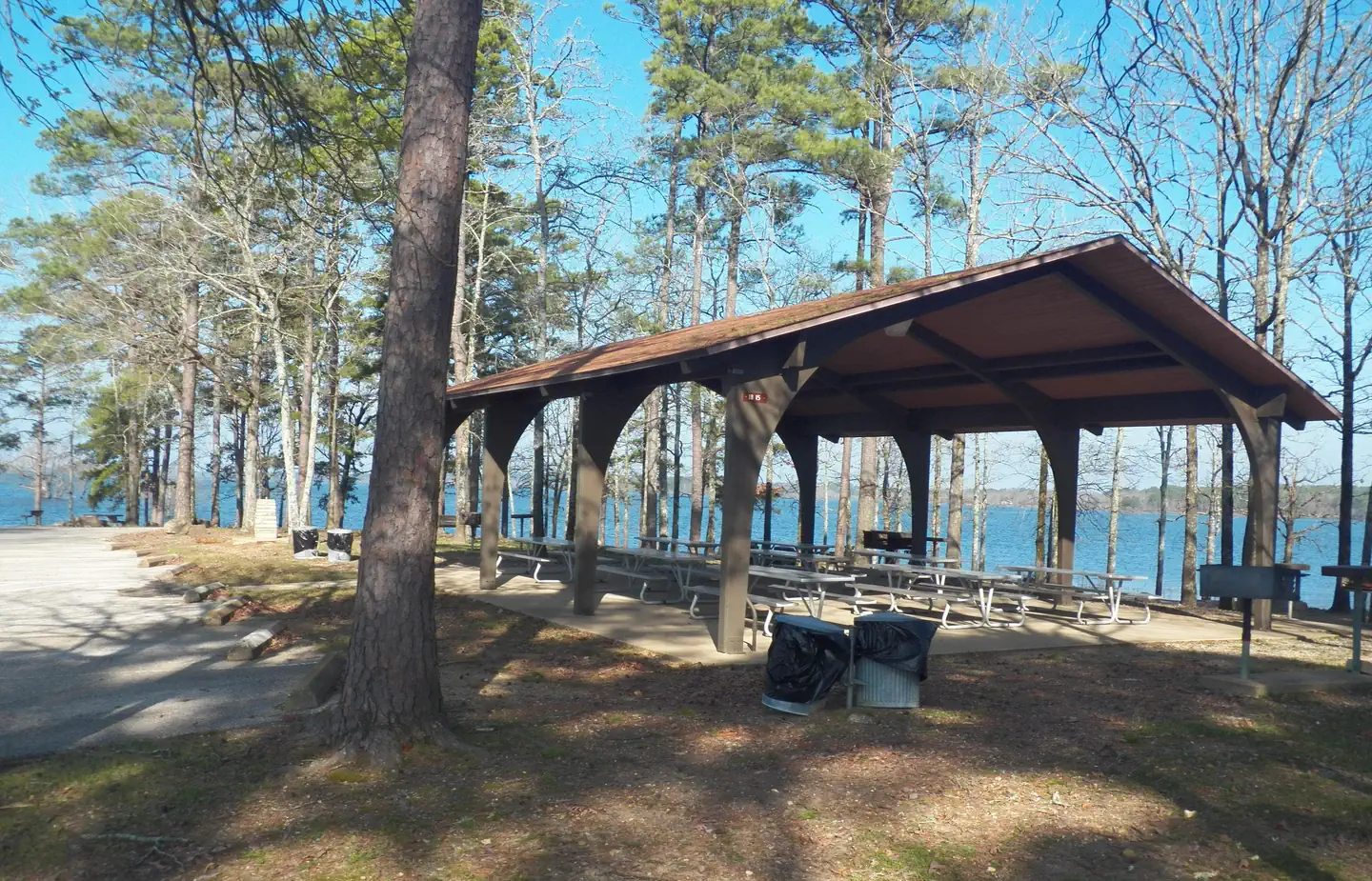
Campsites
| group shelter electric | 1 |
| Total | 1 |
Amenities & rules
Compiled from site-level records; individual sites vary. Confirm on Recreation.gov or with the managing office.
Getting there
From Interstate 30 take exit 78. Merge onto State Highway 7 north for 4 miles. Turn left into Highway 7 Recreation Area and proceed to the end of the road.
Campgrounds nearby
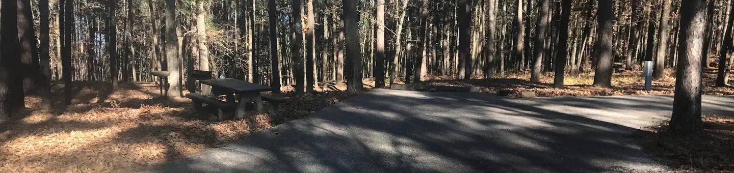 Reservable
1.2 miles away
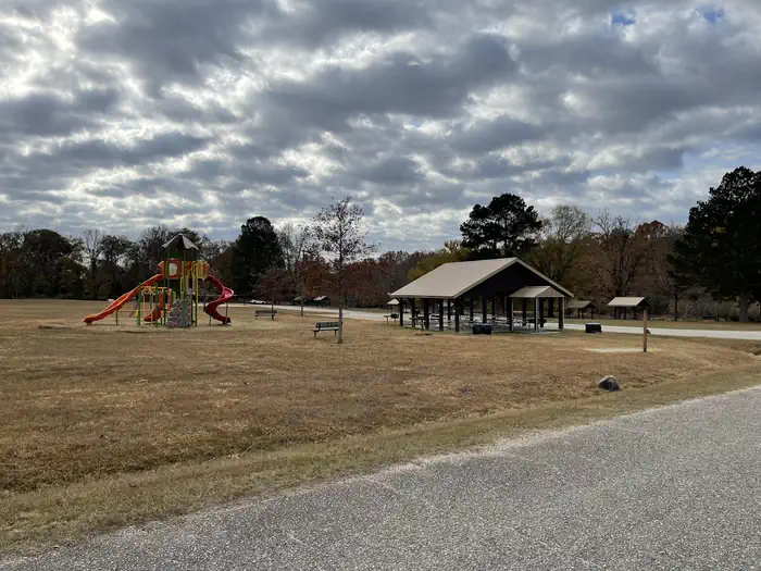
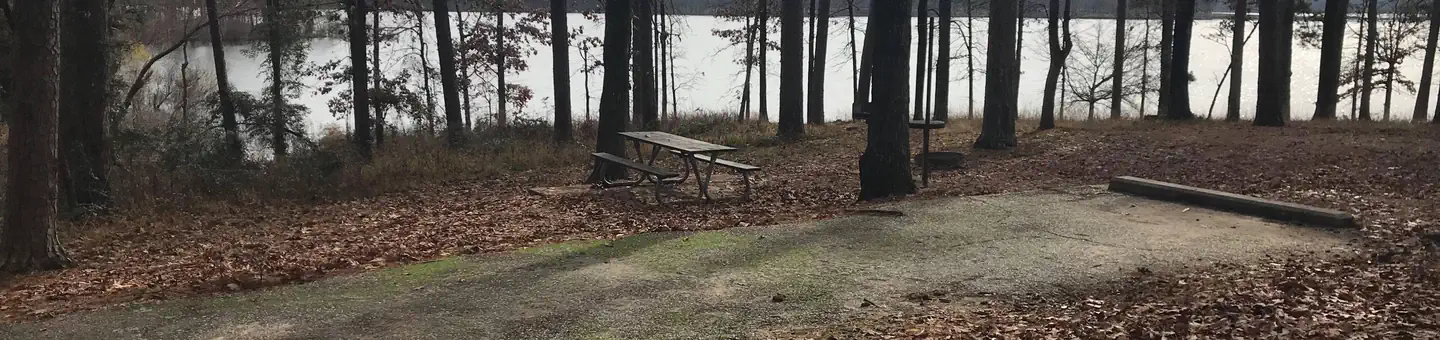 Reservable
4.5 miles away
 Reservable
4.7 miles away
 Reservable
4.8 miles away
 Reservable
5.6 miles away
Data source: Recreation.gov RIDB, retrieved August 30, 2026. The Campsite Atlas is an independent publication and is not affiliated with or endorsed by the Recreation.gov or any federal agency. Always confirm critical details on the official Recreation.gov page before you travel.