 Campsite Atlas
Spillway Recreation Area
The Spillway Recreation Area's iconic outllet structure has delighted visitors to Wappapello Lake since 1937. Feeding the St. Francis River, the spillway banks are a favorite location for fisherman. A one lane boat ramp provides river access, the lower boat ramp area is also an ideal location for kayakers with easy bank access for launching. 11 picnic areas and 2 accessible picnic shelters are available for use year round. Each shelter has a large capacity grill, electricity, water fountains and water hydrants available, Shelter 4 has a large wood burning fireplace in the covered area. A 6 stall, accessible restroom is centrally located within the recreation area.
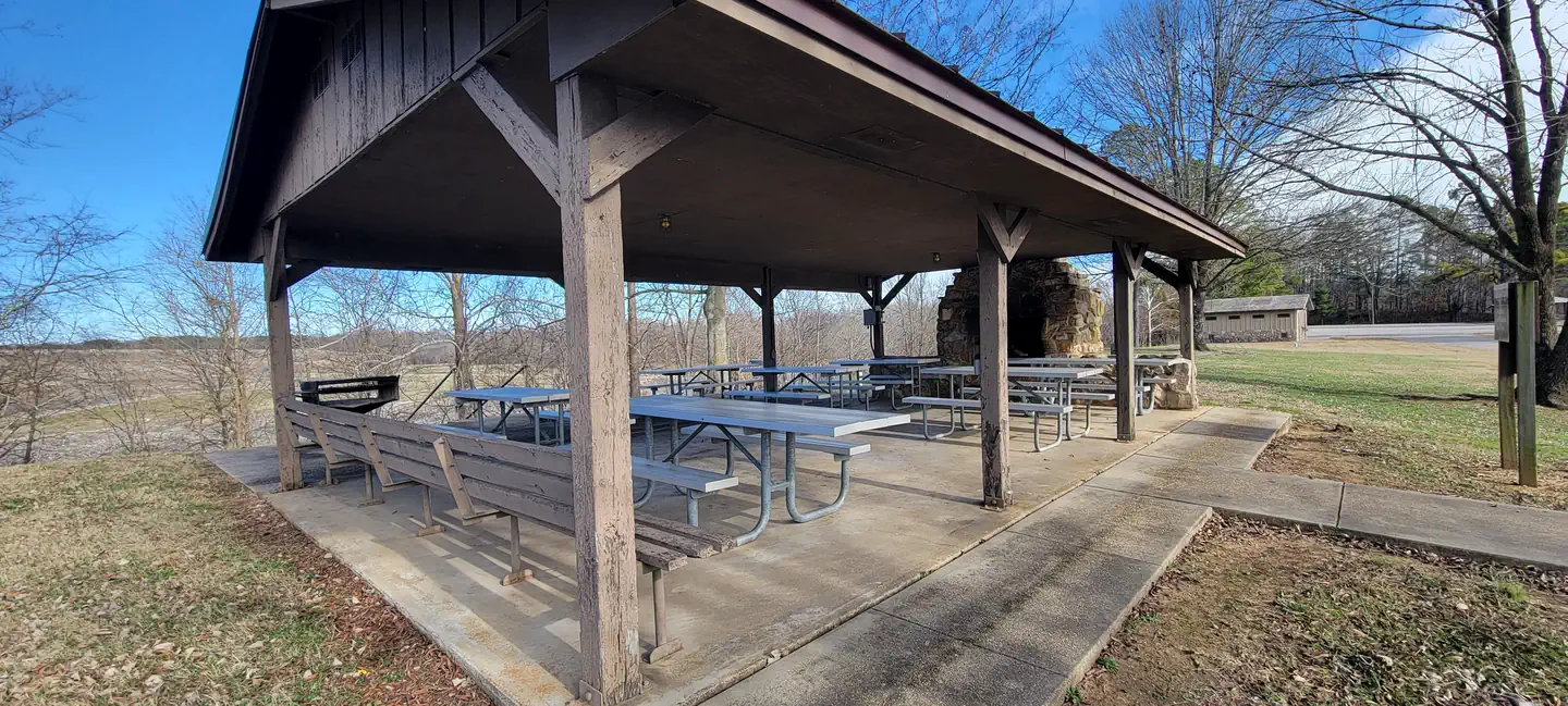
Campsites
| group shelter electric | 2 |
| Total | 2 |
Amenities & rules
Fees: Group Shelter Electric ($50.00).
Compiled from site-level records; individual sites vary. Confirm on Recreation.gov or with the managing office.
Getting there
From St. Louis, Missouri: Take I-55 South to US Highway 67 South to State Highway D (located just South of Greenville, Missouri). Take State Highway D south for 20 miles to State Highway T. Cross Wappapello Dam and take the first left onto a paved road and watch for signs.
Campgrounds nearby
 Reservable
1.5 miles away
Data source: Recreation.gov RIDB, retrieved August 30, 2026. The Campsite Atlas is an independent publication and is not affiliated with or endorsed by the Recreation.gov or any federal agency. Always confirm critical details on the official Recreation.gov page before you travel.