 Campsite Atlas
Greenville Recreation Area
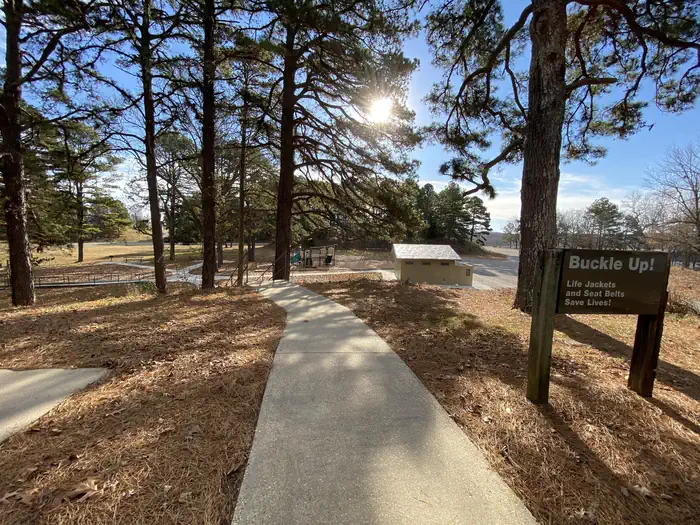
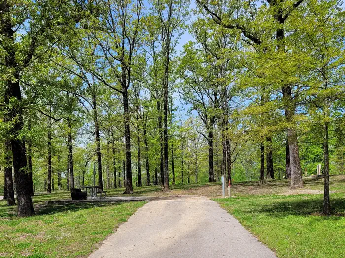
Greenville Recreation Area is located on the northen end of Wappapello Lake Project, nestled on the banks of the St. Francis River. The spacious campground is built on the original site of the historical Old Greenville City, visitors have seemingly endless opportunities for fun. The Memory Lane trail winds along the historical foundations and streets offering a glimpse back in time. The Greenville Trail, a three mile hike or bike trail, connects the modern city of Greenville to the campground. The expansive grounds, multiple playgrounds, play courts and large event area provide opportunities for all ages and abilities.
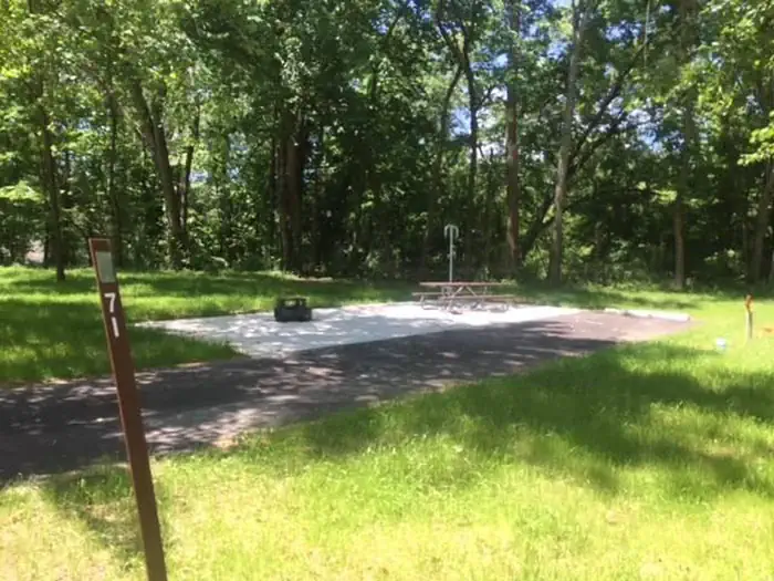
Campsites
| Standard with electric | 93 |
| Host/management | 9 |
| group shelter electric | 1 |
| RV with electric | 1 |
| Total | 104 |
Amenities & rules
Fees: Site Type:. Full Service (50 Amp, Water, Sewer) $28.00.
Compiled from site-level records; individual sites vary. Confirm on Recreation.gov or with the managing office.
Getting there
The physical address of the park is located a mile south of Greenville, MO. From St. Louis, take I-55 south to Highway 67 south to Greenville. From here, continue south about 1 mile and look for signs. From Poplar Bluff take Highway 67 north about 29 miles and look for signs. If utilizing Apple or Google Maps, key in "Greenville Recreation Area".
Campgrounds nearby
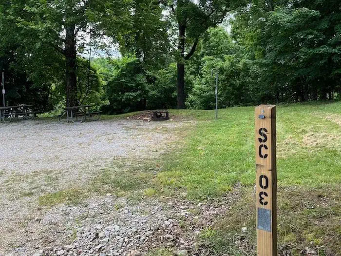 Reservable
10.4 miles away
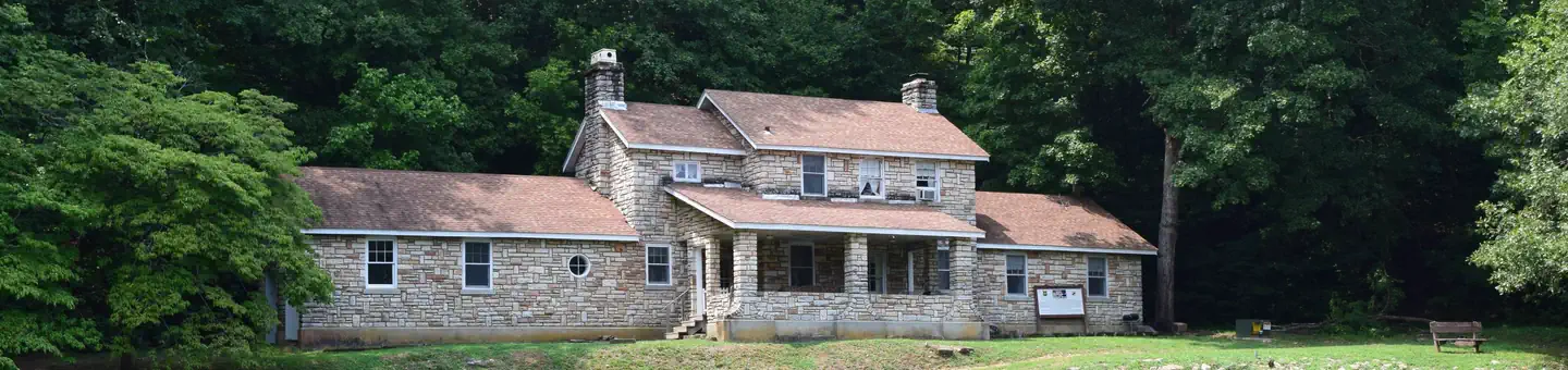 Reservable
11.7 miles away
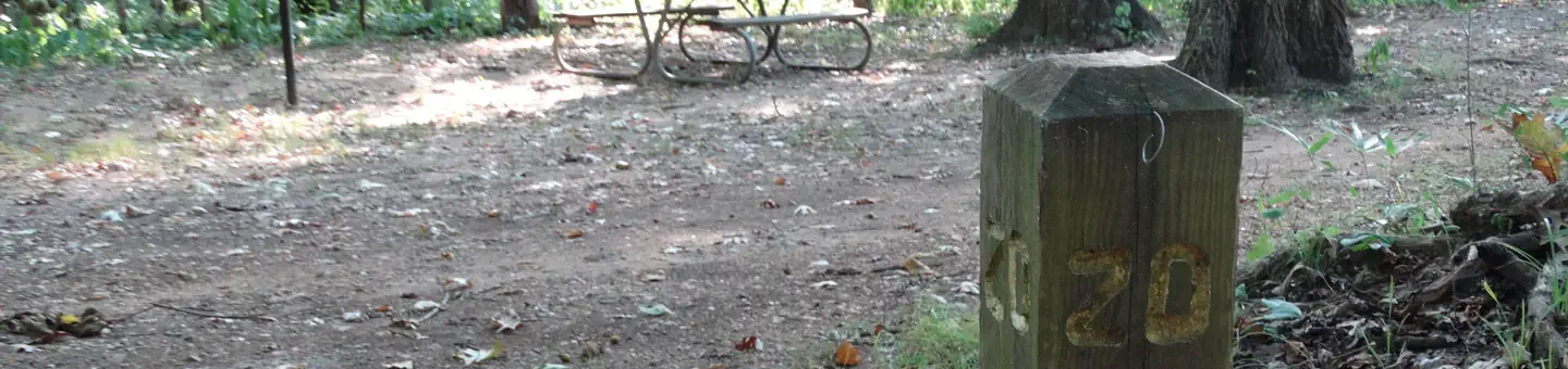
 Reservable
14.6 miles away
Data source: Recreation.gov RIDB, retrieved August 30, 2026. The Campsite Atlas is an independent publication and is not affiliated with or endorsed by the Recreation.gov or any federal agency. Always confirm critical details on the official Recreation.gov page before you travel.