 Campsite Atlas
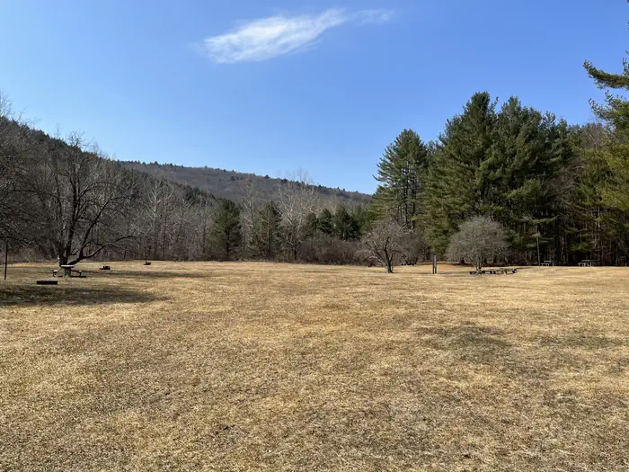
Buffumville Lake (Group Shelter)
In 1958 the U.S. Army Corps of Engineers built Buffumville Dam in Charlton, Massachusetts to provide flood risk management for downstream communities. Flood waters due to large amounts of rainfall or spring snow melts are stored on 480 acres of land. The lake is also managed for recreation and environmental stewardship. Buffumville offers year-round recreation and park rangers are available to assist you during your visit. Buffumville Lake provides excellent boating, canoeing, fishing, hiking and swimming opportunities. Hikers and bikers enjoy exploring the 7.2-mile Lake Shore Trail, which begins at the beach and circles the lake.
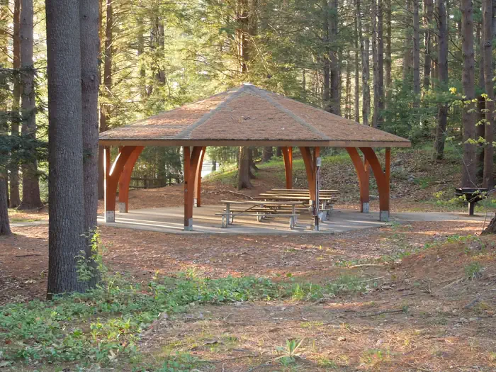
Campsites
| group picnic area | 1 |
| Total | 1 |
Getting there
From the Massachusetts Turnpike, take the Sturbridge exit and follow Route 20 to Charlton. Turn right on Route 31 and follow the brown signs to the park. From I-290, take exit 7B to Oxford Center and follow brown signs to park.
Campgrounds nearby
 Reservable
15.7 miles away
 Reservable
50.5 miles away

Data source: Recreation.gov RIDB, retrieved August 30, 2026. The Campsite Atlas is an independent publication and is not affiliated with or endorsed by the Recreation.gov or any federal agency. Always confirm critical details on the official Recreation.gov page before you travel.