 Campsite Atlas
Westville Recreation Area
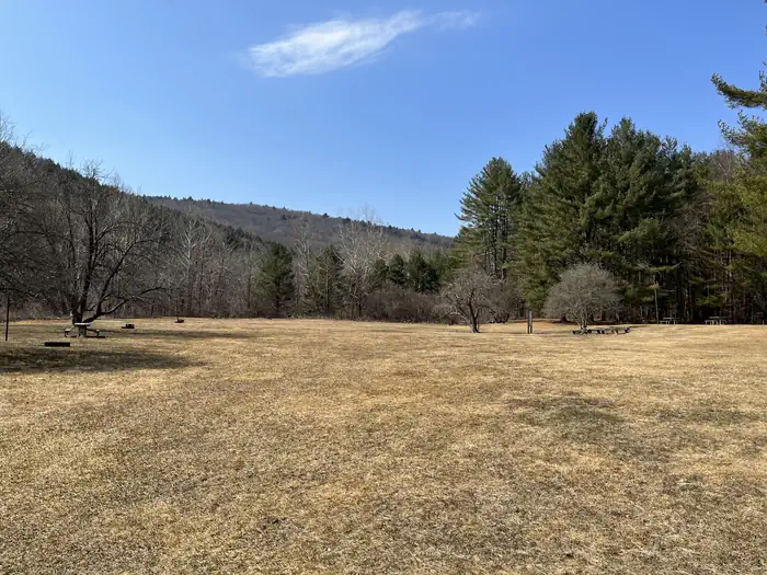
Westville Lake is situated on the Quinebaug River in the towns of Southbridge and Sturbridge, Massachusetts. Westville offers a variety of hiking opportunities, group picnic shelters, a picnic cove, a large recreation field, canoe/kayak launches, and much more. Westville Lake offers two large picnic shelters for hosting any number of events, a canoe/kayak launch into a slow current river, fishing opportunities, plenty of charcoal grills and picnic tables for everyone to enjoy, and a trail network perfect for hiking for all ages.
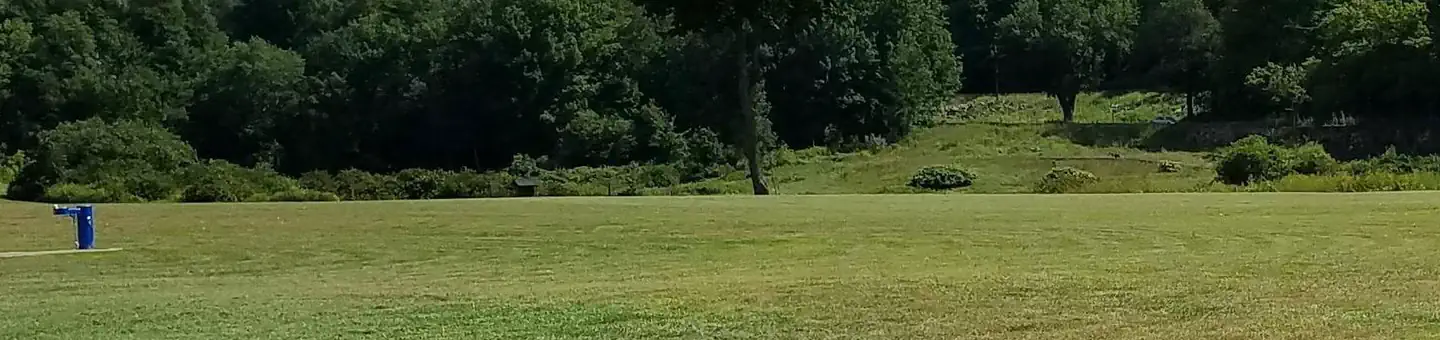
Campsites
| group shelter electric | 2 |
| ball field | 1 |
| Total | 3 |
Amenities & rules
Compiled from site-level records; individual sites vary. Confirm on Recreation.gov or with the managing office.
Getting there
Westville Lake can be accessed from Wallace Road in Sturbridge, which is located directly off of Main St. The Dam and Recreation area can also be accessed from West St in Southbridge by taking a right onto South St. The physical address for the Westville Lake Recreation Area is 125 Wallace Road.
Campgrounds nearby
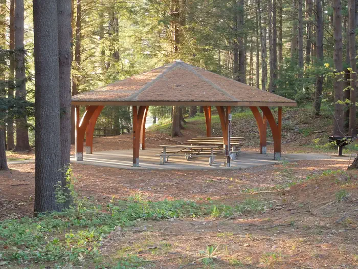
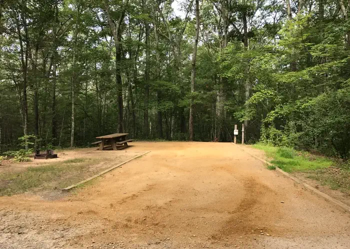
 Reservable
23.7 miles away
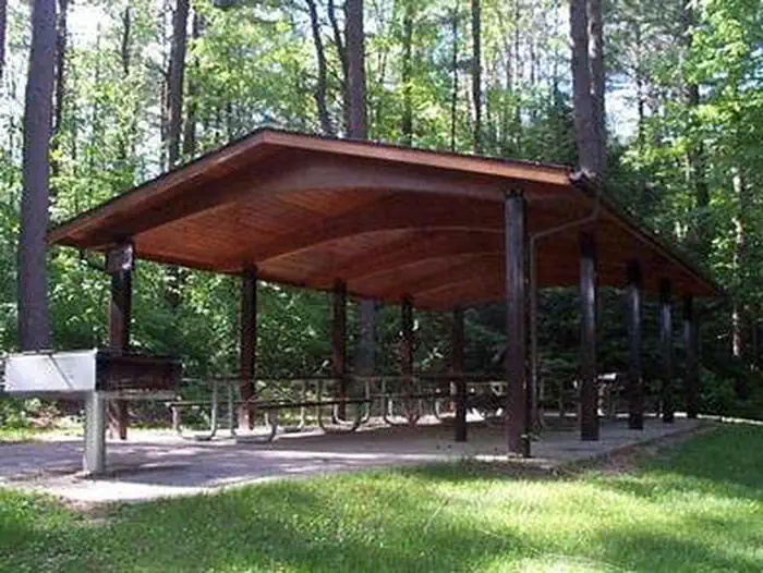
 Reservable
44.3 miles away

Data source: Recreation.gov RIDB, retrieved August 30, 2026. The Campsite Atlas is an independent publication and is not affiliated with or endorsed by the Recreation.gov or any federal agency. Always confirm critical details on the official Recreation.gov page before you travel.