 Campsite Atlas
Ponderosa
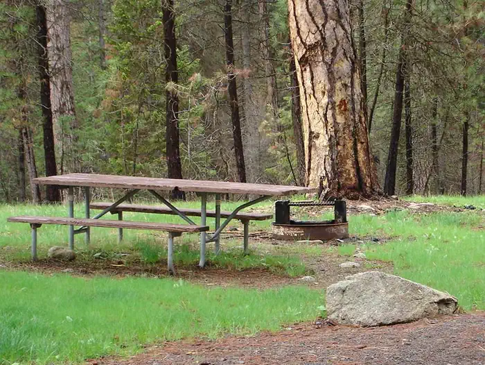
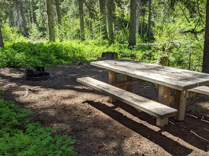
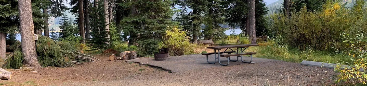
This campground is located adjacent to the Secesh River and offers beautiful river views. There are eleven camp sites. This location is available on a first-come, first-served basis only. Visitors are required to physically arrive at the campground to purchase and claim a site. Once on-site, you may be able to pay for your campsite(s) by scanning a QR code using the Recreation.gov mobile app, and the Scan and Pay feature. If this option is available, you will need to first download the free Recreation.gov mobile app ht tps://www.recreation.gov/mobile-app prior to your arrival as some remote areas have limited or no cellular service. There is fishing and trail access.
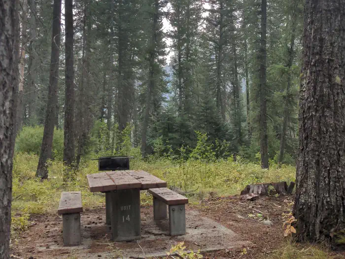
Campsites
| Standard, no hookups | 10 |
| Host/management | 1 |
| Total | 11 |
Amenities & rules
Compiled from site-level records; individual sites vary. Confirm on Recreation.gov or with the managing office.
Getting there
From McCall, go 31 miles northeast on Lick Creek Road #48. The South Fork corridor is about 30 miles from Cascade along the Warm Lake Highway. Usually by July, Lick Creek Pass (Road #48) is snow-free, providing a faster access from McCall (35 miles) to the South Fork corridor.
Campgrounds nearby
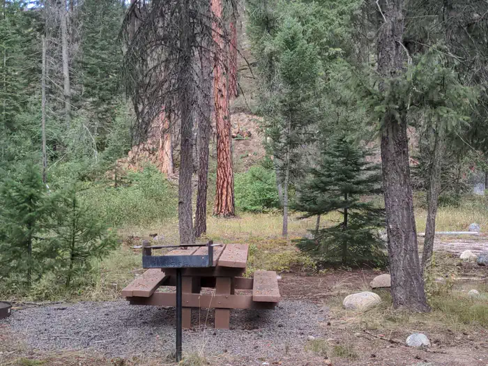
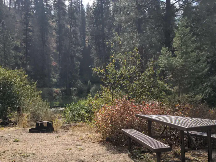 Reservable
8.7 miles away
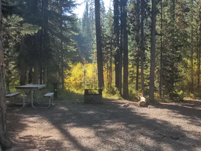 Reservable
10.8 miles away
 Reservable
12.1 miles away
 Reservable
13.3 miles away
Data source: Recreation.gov RIDB, retrieved August 30, 2026. The Campsite Atlas is an independent publication and is not affiliated with or endorsed by the Recreation.gov or any federal agency. Always confirm critical details on the official Recreation.gov page before you travel.