 Campsite Atlas
West Point Campground
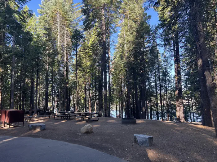
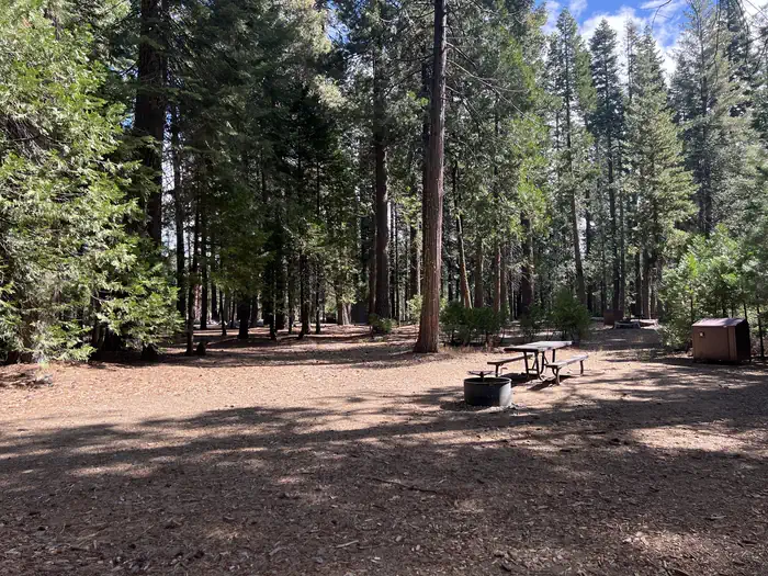
West Point Campground is located on the northwest shore of Union Valley reservoir off of North Union Valley Road. There are 22 sites ranging from sinlge to triple in capacity. There is a boat ramp with access to the reservior. The campground and boat ramp are at 4,875 feet in elevation. Boating . Fishing. Biking. Swimming. Hiking. 22 sites. Boat ramp. Day use area. The Desolation Wilderness is nearby offering overnight pack trips or day hikes to see the beauty of the Seirras. For facility specific information, please call (831) 245-6891. Change Fee: A service fee may be charged at the time a modification is made depending on the changes.
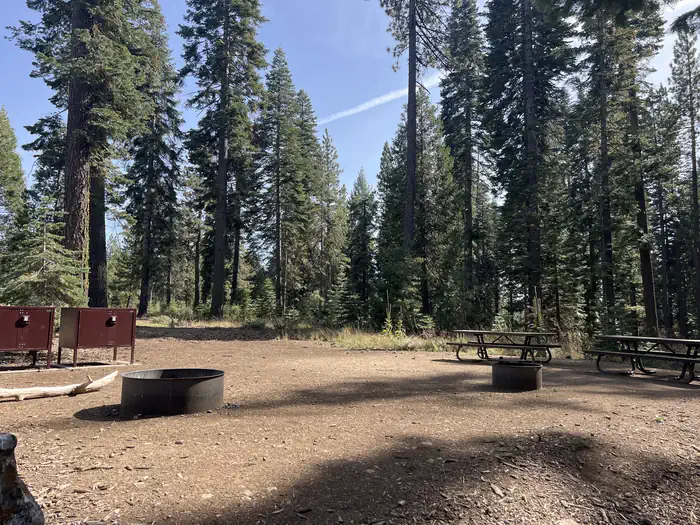
Campsites
| Standard, no hookups | 17 |
| Walk-in | 4 |
| Host/management | 2 |
| Total | 23 |
Amenities & rules
Fees: Recreation Fee: Recreation fees are the fees a visitor pays for things like overnight camping, a day-use pavilion, group facilities, a tour or a permit. Recreation fees vary by location and/or activity.
Compiled from site-level records; individual sites vary. Confirm on Recreation.gov or with the managing office.
Getting there
Access is via Highway 50, 23 miles east of Placerville, California, then . 7 miles north on Ice House Road, . turn left onto Peavine Ridge Road for 3 miles, . make a right turn on Bryant Springs Road, go 5 miles north across the dam and just past the boat ramp to the right.
Campgrounds nearby
 Reservable
2.4 miles away
Data source: Recreation.gov RIDB, retrieved August 30, 2026. The Campsite Atlas is an independent publication and is not affiliated with or endorsed by the Recreation.gov or any federal agency. Always confirm critical details on the official Recreation.gov page before you travel.