 Campsite Atlas
Gabions Campground
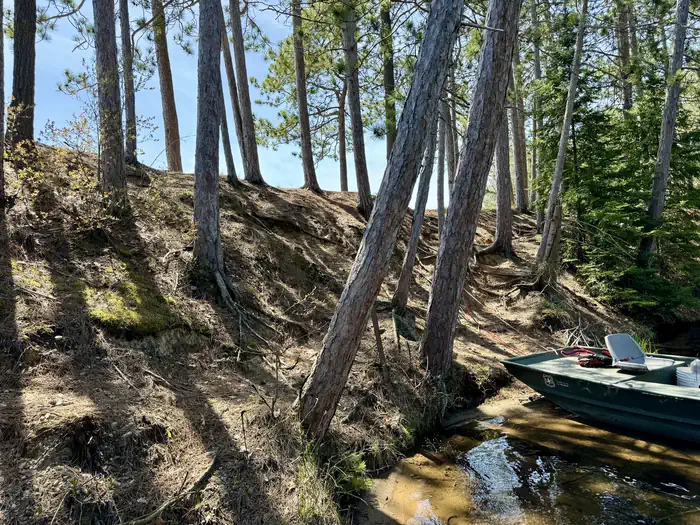
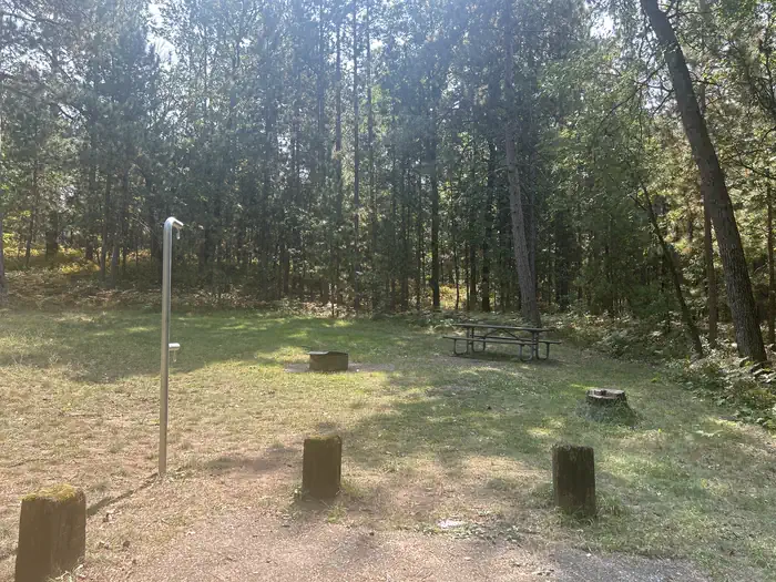
Gabions Campground offers camping on the National Scenic stretch of the Au Sable River. Natural springs are common on this section of the river, including a small one at the river's edge near the gabions. Gabions are rock-filled wire baskets that are placed along the riverbank to help reduce erosion. The Shore-to-Shore Trail passes near the campground; however, Gabions is not a designated horse camp and horse camping is not permitted. Wildlife and waterfowl viewing opportunities exist; please respect wildlife and observe from a distance. Water Activites: Anglers can boat, wade, and fish from shore.
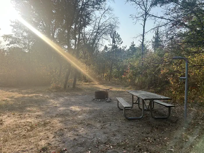
Campsites
| Standard, no hookups | 7 |
| Tent-only | 1 |
| Total | 8 |
Amenities & rules
Compiled from site-level records; individual sites vary. Confirm on Recreation.gov or with the managing office.
Getting there
From the South on M33: . Turn East onto Curtisville Road and stay on it for approximately 15.5 miles. (Note the name of the road will change to: Au Sable Valley River Rd and then Au Sable River Rd.) . Turn Left (north) onto Brodie Road. Follow the signs to the campground. . From Mio via McKinley Road: .
Campgrounds nearby
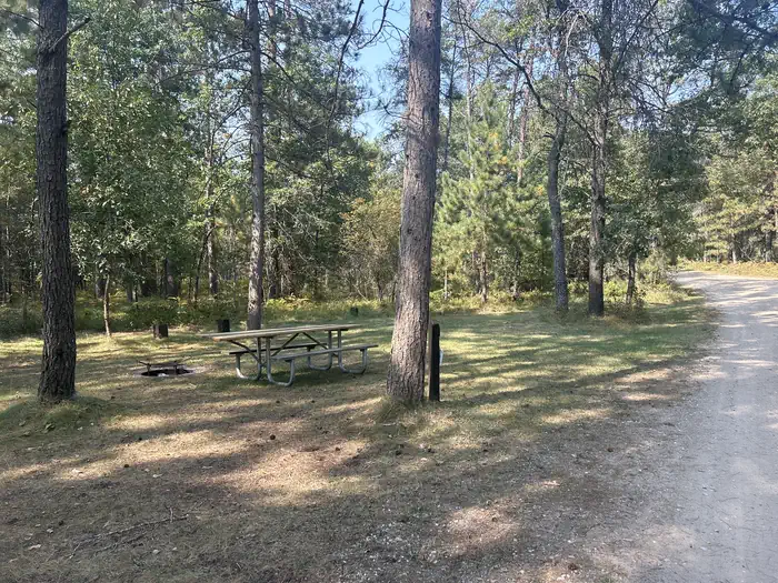
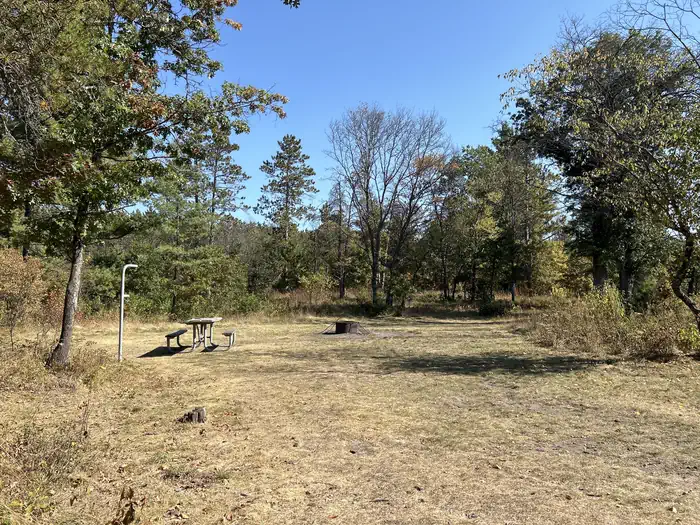
Data source: Recreation.gov RIDB, retrieved August 30, 2026. The Campsite Atlas is an independent publication and is not affiliated with or endorsed by the Recreation.gov or any federal agency. Always confirm critical details on the official Recreation.gov page before you travel.