 Campsite Atlas
Markleeville
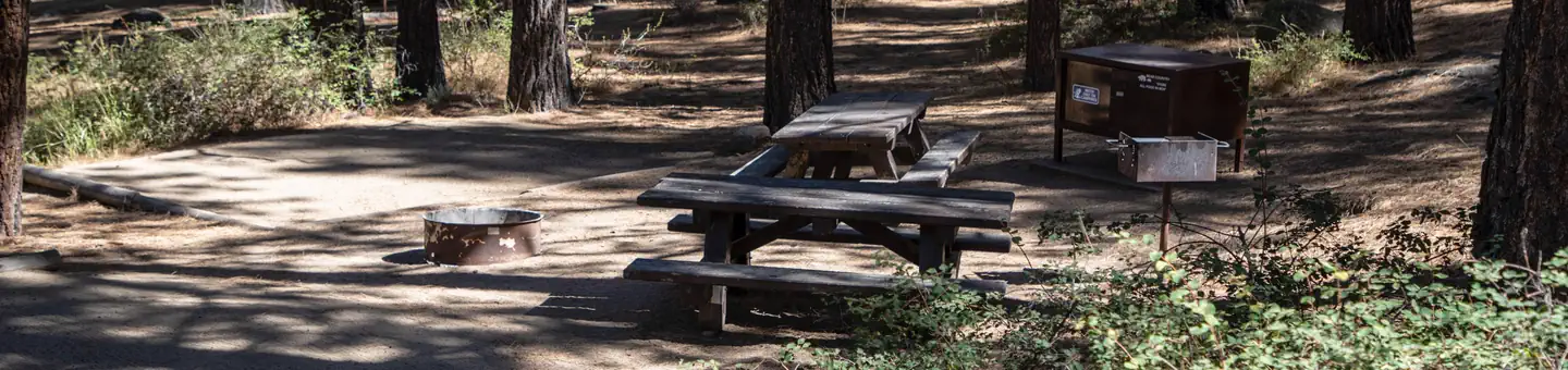
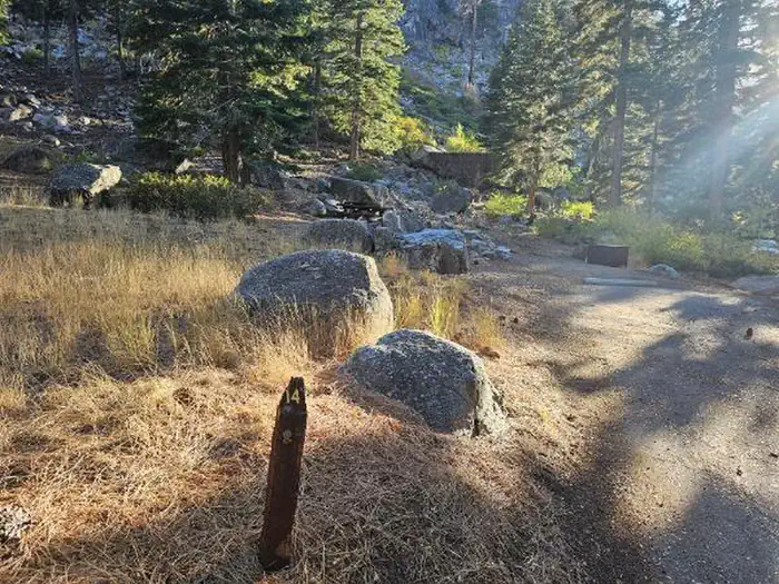
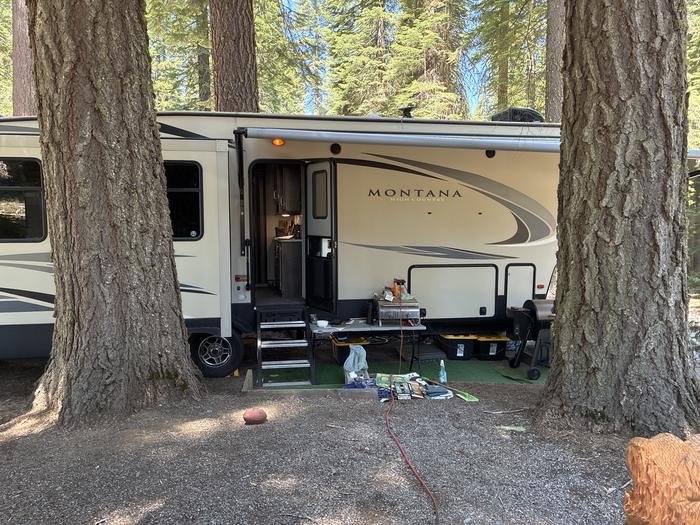
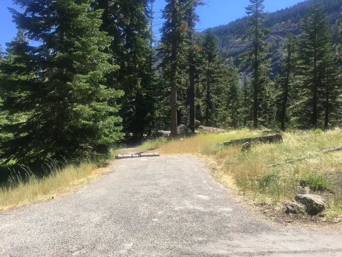
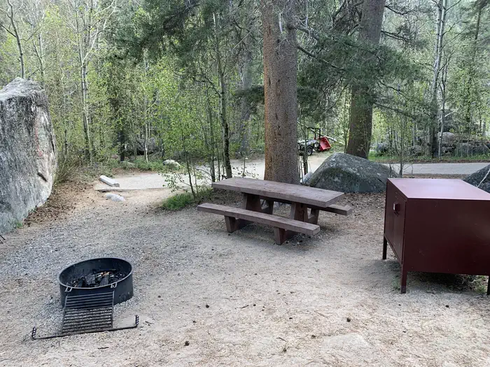
Located on Markleeville Creek, in the shade of Jeffrey Pines and Cottonwood trees. This campground has camping for tents and small RV (less than 24 ft in length). The campsites offer a picnic table, campfire ring, and food storage lockers. Vault toilets and garbage service is provided. There is currently no potable water. The Markleeville campground sits along side Markleeville Creek in the small town of Markleeville, California. The campground is at an elevation of 5500.
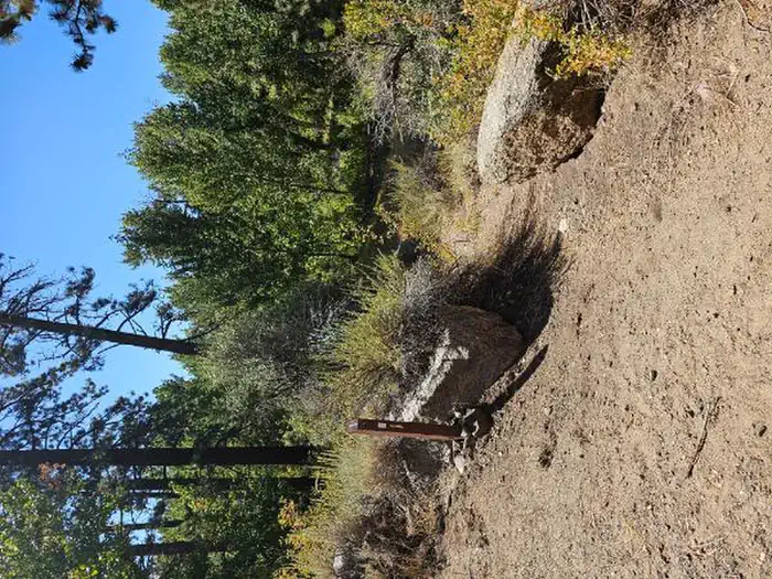
Campsites
| Standard, no hookups | 9 |
| Total | 9 |
Getting there
From Carson City or Minden, Nevada. 1. Take Highway 88 approximately 14 miles to the junction with Highway 4/89 at Woodfords, California. 2. Turn left on Highway 4/89, proceed for approximately six miles to the Markleeville Campground entrance on the north side of highway (approximately 1/2 mile past the small town of Markleeville).
Campgrounds nearby
Data source: Recreation.gov RIDB, retrieved August 30, 2026. The Campsite Atlas is an independent publication and is not affiliated with or endorsed by the Recreation.gov or any federal agency. Always confirm critical details on the official Recreation.gov page before you travel.