 Campsite Atlas
Pocket Campground
The Pocket Recreation Area is located within the Chattahoochee-Oconee National Forest in the ridges and valleys of northwest Georgia. The campground sits in a low lying geographical area between Horn and Mill mountains. This low lying area was formed by limestone dissolving, leaving the ridges above and valleys below. These ridges are rich in iron ore "pockets" giving this area its name. Deer and turkeys thrive in the surrounding forest. Spring wildflowers and autumn colors abound, showcasing the beauty of the region. Nearby trails and overlooks allow visitors to enjoy the National Forest from different perspectives. The Pocket area is rich in cultural and historical history.
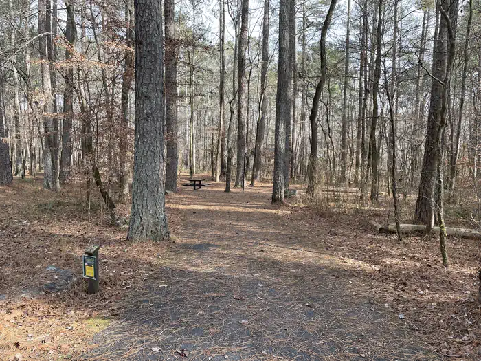
Campsites
| Standard, no hookups | 26 |
| Total | 26 |
Amenities & rules
Compiled from site-level records; individual sites vary. Confirm on Recreation.gov or with the managing office.
Getting there
From I-75, take exit 320 (LaFayette/Resaca) west on Georgia Highway 136 for approximately 14 miles. Turn left onto Pocket Road for approximately 7 miles. The recreation area will be on the left.
Campgrounds nearby
 Reservable
25.3 miles away
Data source: Recreation.gov RIDB, retrieved August 30, 2026. The Campsite Atlas is an independent publication and is not affiliated with or endorsed by the Recreation.gov or any federal agency. Always confirm critical details on the official Recreation.gov page before you travel.