 Campsite Atlas
Curtis Gulch Campground
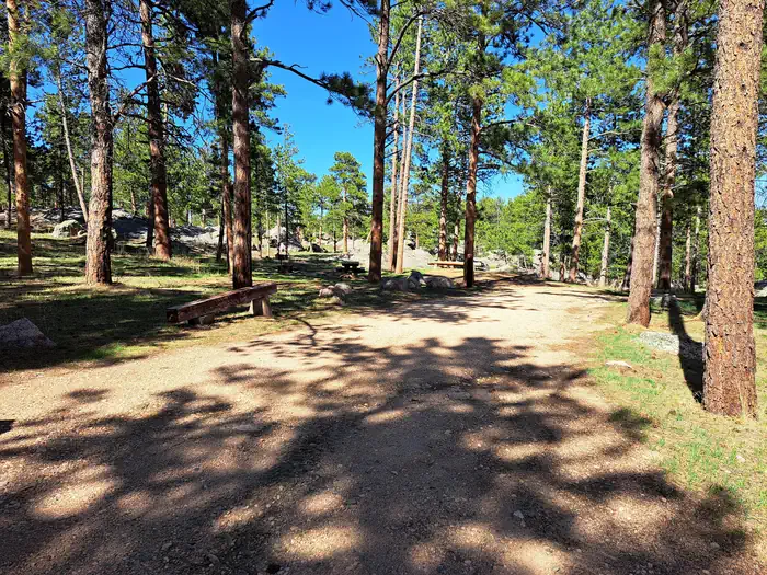
Curtis Gulch Campground sits at an elevation of 6,640 feet, at the end of the long and scenic LaBonte Canyon. There are 6 sites along a bend in the creek with picnic tables, fire rings, pedestal grills, a vault toilet, pump water well, and trash bins. Recreation. The canyon bottom is about 6,700 feet in elevation and has granite rock formations for technical rock climbing and photography. LaBonte Creek runs through the entire length of the canyon and offers anglers many opportunities to catch the rainbow trout stocked annually by the WGFD. For OHV riding, the LaBonte Canyon Trail starts at the back of the campground, and The Big Bear Trail System is located just 1/4 mile up the canyon.
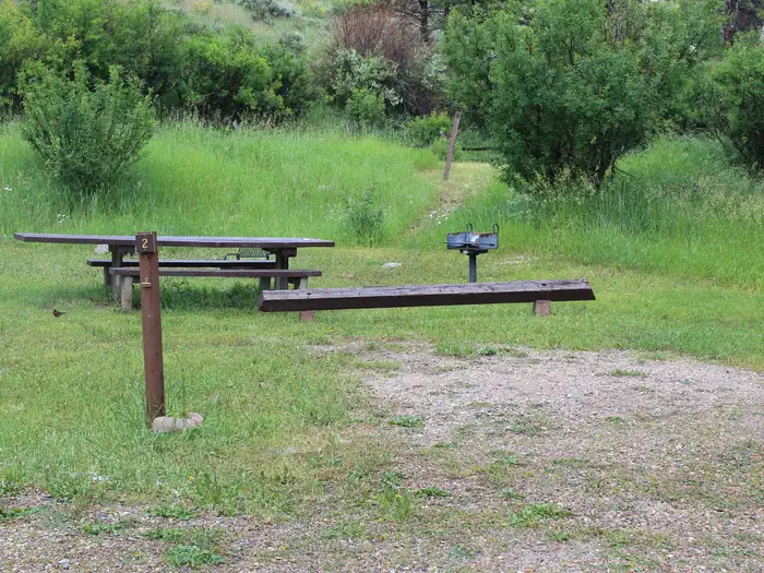
Campsites
| Standard, no hookups | 6 |
| Total | 6 |
Amenities & rules
Fees: $14/night.
Compiled from site-level records; individual sites vary. Confirm on Recreation.gov or with the managing office.
Getting there
From Douglas WY (30 miles), Take State Highway 91 west then south from Douglas for 22 miles, Converse County Road 16. continuing as Albany County Road 61 south for 14 miles, and east on Forest Road #658 for 4 miles. The pavement ends about 25 miles outside of Douglas and is gravel the remainder of the way, but is easily accessible by car when dry.
Campgrounds nearby
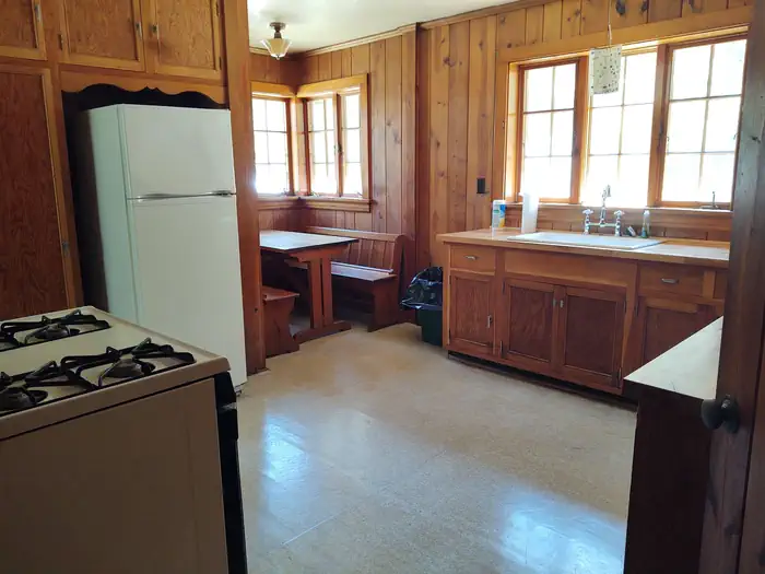
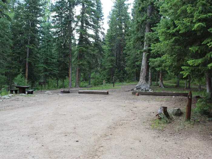
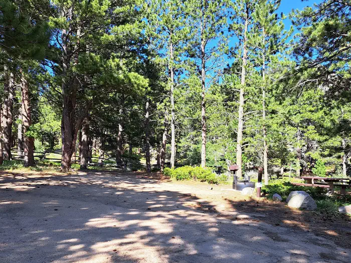
Data source: Recreation.gov RIDB, retrieved August 30, 2026. The Campsite Atlas is an independent publication and is not affiliated with or endorsed by the Recreation.gov or any federal agency. Always confirm critical details on the official Recreation.gov page before you travel.