 Campsite Atlas
John Day River Basin Developed Campgrounds
The Central Oregon Field Office of the Bureau of Land Management oversees four separate fee campgrounds within the John Day River Basin in Central Oregon. Service Creek and Muleshoe Campgrounds are located near Service Creek, Oregon along the John Day River and State Route 207. Big Bend and Lone Pine Campgrounds are located between Kimberly and Monument along the North Fork of the John Day River and State Route 402. The region is rural and tends to be quiet except during spring boating and fall hunting seasons. At around 2,000 feet in elevation, you'll see mostly sage and juniper with the occasional ponderosa pine.
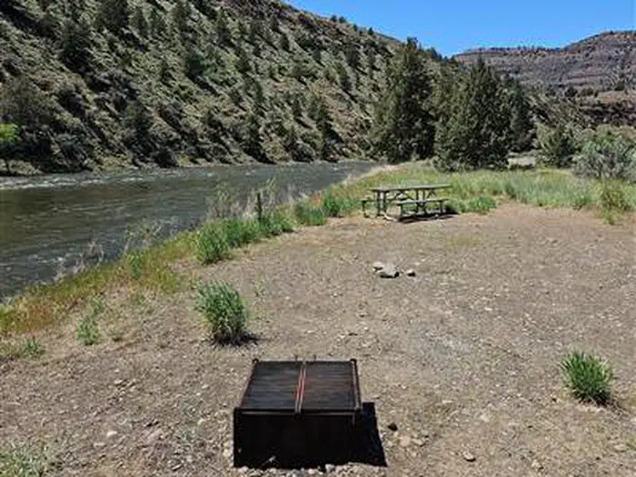
Campsites
| Standard, no hookups | 15 |
| Walk-in | 6 |
| Total | 21 |
Amenities & rules
Fees: Fees are $5.00 per site/night plus $2 for each additional vehicle over the first vehicle, excluding towed vehicles. The Scan & Pay option is an additional .50 cents per $10.
Compiled from site-level records; individual sites vary. Confirm on Recreation.gov or with the managing office.
Getting there
Service Creek Campground: . From Prineville, Oregon, take US 26 east out of town and drive 46.5 miles to OR 207 N. Turn left and drive 23.5 miles. Service Creek Campground and boat launch will be on the right. Muleshoe Campground: . From Prineville, Oregon, take US 26 east out of town and drive 46.5 miles to OR 207 N.
Campgrounds nearby
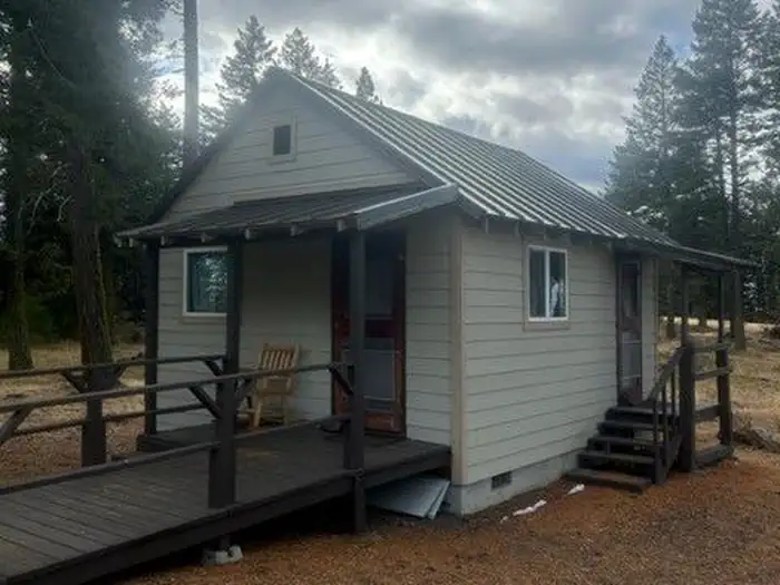 Reservable
17.5 miles away
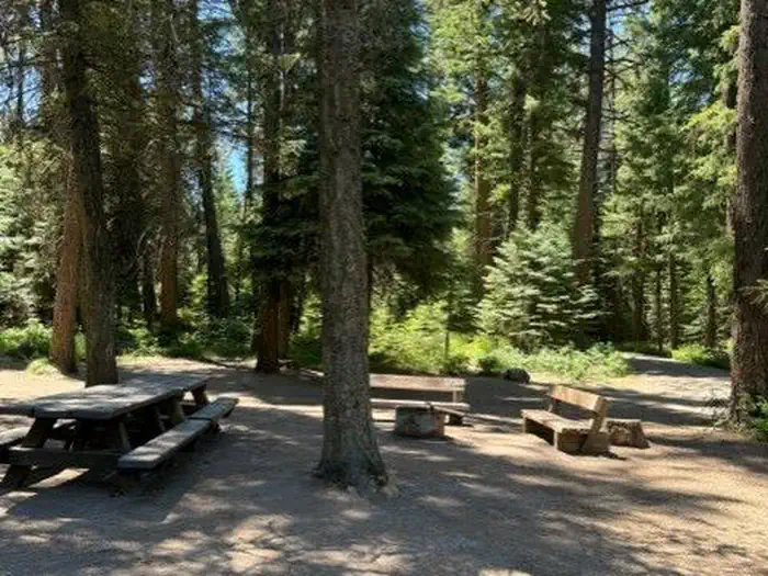
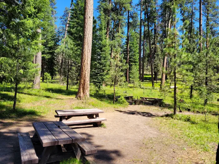 Reservable
27.8 miles away
 Reservable
29.9 miles away
31.9 miles away
Data source: Recreation.gov RIDB, retrieved August 30, 2026. The Campsite Atlas is an independent publication and is not affiliated with or endorsed by the Recreation.gov or any federal agency. Always confirm critical details on the official Recreation.gov page before you travel.