 Campsite Atlas
Aguirre Spring Recreation Area And Campground
The high wall, needle-like spires of the Organ Mountains curve dramatically around a semicircle of Chihuahuan Desert habitat at the Aguirre Spring Campground. The campground, nestled at the base of spectacular cliffs, overlooks the Tularosa Basin and White Sands National Park. Alligator juniper, gray oak, mountain mahogany and sotol are a few of the abundant plant species here. Seasonal springs and streams occur in the canyon bottoms, with a few perennial springs that support riparian habitats. The Aguirre Spring Recreation area includes a scenic drive along Aguirre Spring Road, two National Recreation Trails and a campground.
The federal database holds very little for this campground, so this page is short. For current conditions and details, the official links in the sidebar are the better source.
Getting there
The Aguirre Spring Recreation Area and Campground is located on the east side of Organ Mountains, east of Las Cruces in Dona Ana County. Take U.S. 70 for 14 miles east of the I-25/U.S. 70 interchange in Las Cruces, then turn south on the Aguirre Spring Road (1.1 miles after San Augustine Pass) for six miles.
Campgrounds nearby
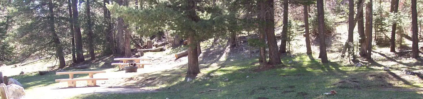 Reservable
51.9 miles away
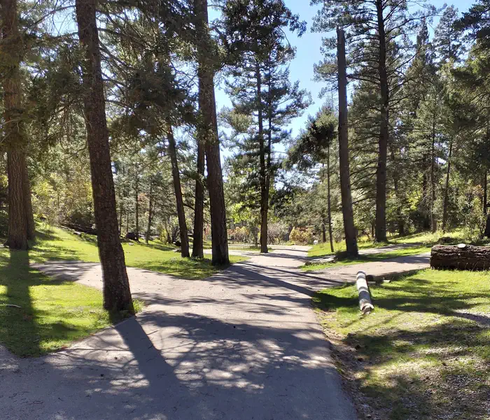
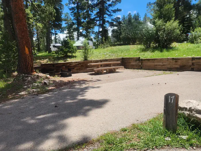
Data source: Recreation.gov RIDB, retrieved August 30, 2026. The Campsite Atlas is an independent publication and is not affiliated with or endorsed by the Recreation.gov or any federal agency. Always confirm critical details on the official Recreation.gov page before you travel.