 Campsite Atlas
Christopher Creek
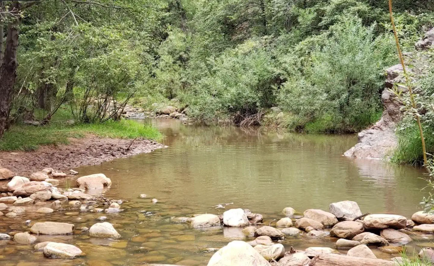
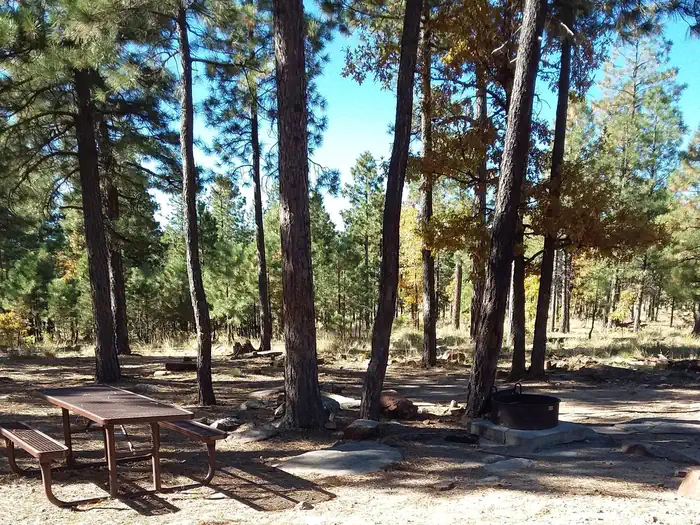
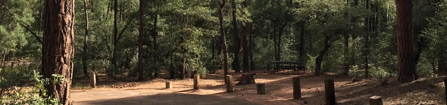
With an elevation of 5640 ft, Christopher Creek Campground's crisp, fresh air and vibrant views are a joy to behold. The campground is tucked along the banks of the spring-fed Christopher Creek, which passes just below the Mogollon Rim. This campground is typically open April-November. The Mogollon Rim, pronounced by locals as "muggy-own," is a 200-mile long cliff in northern Arizona that ranges between 5,000 and 7,000 ft in elevation. The unique landscape was created by extreme erosion and faulting that has sculpted spectacular canyons and buttes. The rim serves as the geographical dividing line between the cool high country above and the hot, dry desert below.
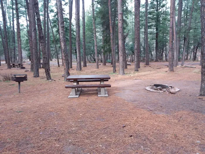
Campsites
| Standard, no hookups | 43 |
| Group sites | 1 |
| Total | 44 |
Amenities & rules
Compiled from site-level records; individual sites vary. Confirm on Recreation.gov or with the managing office.
Getting there
From Payson, Arizona, take Highway 260 east for 21 miles to the Christopher Creek Campground turnoff. Take Forest Road for 1/4 mile to the campground, Ask host for directions to campsite.
Campgrounds nearby
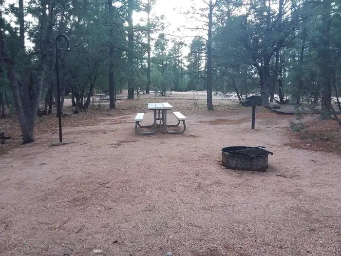 Reservable
2.2 miles away
Data source: Recreation.gov RIDB, retrieved August 30, 2026. The Campsite Atlas is an independent publication and is not affiliated with or endorsed by the Recreation.gov or any federal agency. Always confirm critical details on the official Recreation.gov page before you travel.