 Campsite Atlas
Fall Lake
Fall Lake Campground is located on the shores of Fall Lake and provides direct access into the Boundary Waters Canoe Area Wilderness (BWCAW). The campground opens in early May in time for walleye fishing season, making it a popular place for anglers. Others are drawn to Fall Lake for its birding, swimming, hiking and boating opportunities. Superior National Forest, located in northeastern Minnesota's arrowhead region, is comprised of 3 million acres. The forest spans 150 miles along the United States-Canada border. Part of Fall Lake lies within the BWCAW, while the rest of the lake is open to unrestricted boating, permits are required to enter the BWCAW.
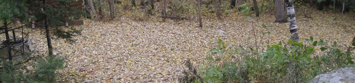
Campsites
| Standard with electric | 50 |
| Tent-only | 9 |
| Host/management | 4 |
| group standard electric | 2 |
| tent only electric | 1 |
| Total | 66 |
Amenities & rules
Compiled from site-level records; individual sites vary. Confirm on Recreation.gov or with the managing office.
Getting there
Fall Lake is located in Northeast MN, 100 miles North of Duluth MN. From Duluth, MN, take Highway 53 north for 50 miles to Virginia, MN. Take Highway 169 northeast for 50 miles to Ely, Minnesota, travel an addition 6.5 miles to County Road 182 (Fall Lake Road). Travel north on County Road 182 for 2 miles.
Campgrounds nearby
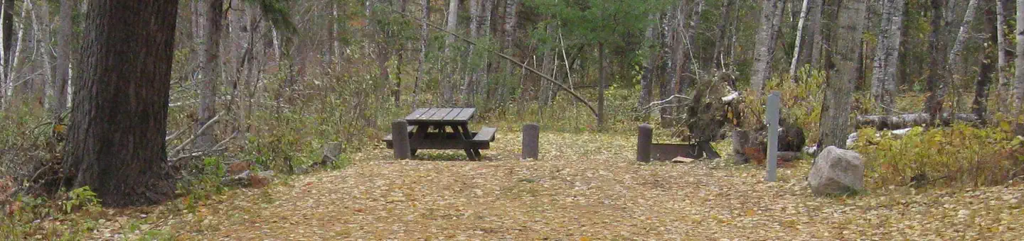
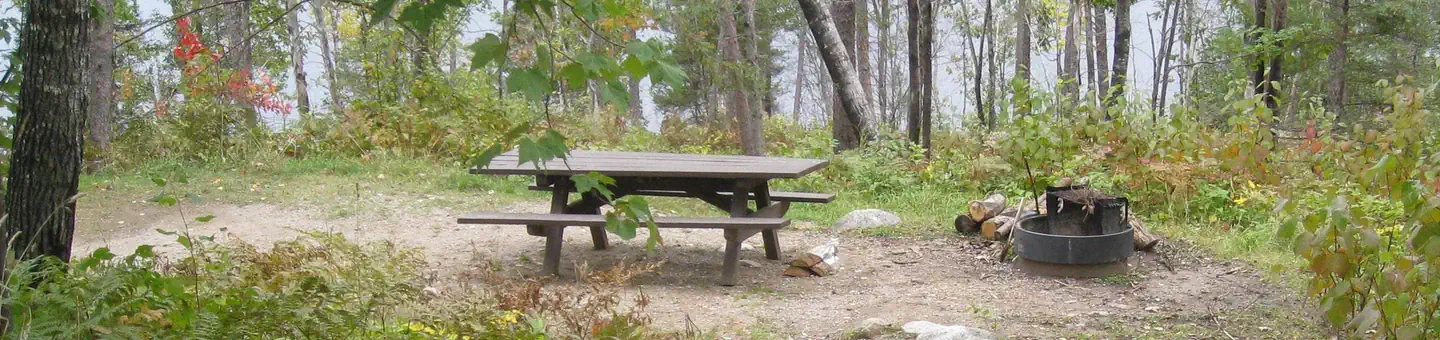
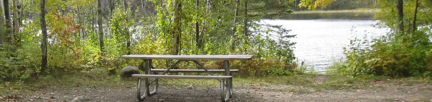
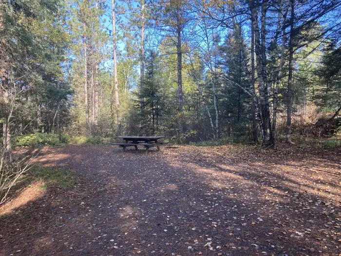
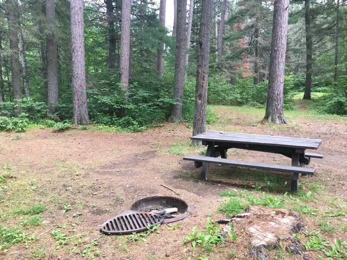
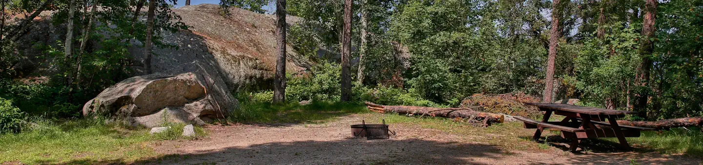 Reservable
29.5 miles away
Data source: Recreation.gov RIDB, retrieved August 30, 2026. The Campsite Atlas is an independent publication and is not affiliated with or endorsed by the Recreation.gov or any federal agency. Always confirm critical details on the official Recreation.gov page before you travel.