 Campsite Atlas
Camp Dick
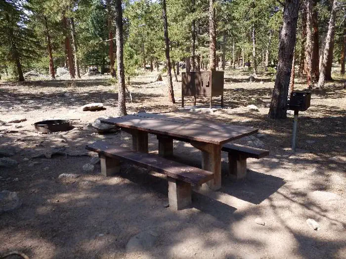
Camp Dick is the site of a Civilian Conservation Corps camp that was established in the 1930s. It is located just off the Peak to Peak Scenic Byway, on the Middle Saint Vrain Creek. The Middle Saint Vrain Creek is a good fly-fishing stream where anglers cast for rainbow, brown and cutthroat trout. Many trails in the vicinity are open to hiking and biking, including Sourdough and Buchanan Pass trails. The Indian Peaks Wilderness boundary is four miles from the west end of the campground. Mountain biking is allowed on the first five miles of Buchanan Pass Trail.

Campsites
| Host/management | 22 |
| Standard, no hookups | 20 |
| Total | 42 |
Amenities & rules
Compiled from site-level records; individual sites vary. Confirm on Recreation.gov or with the managing office.
Getting there
From Denver, travel north on Interstate 25 north, to U.S. Highway 36 and continue west through Boulder, to Lyons. From Lyons, take Highway 7 for 12 miles to Highway 72, then continue south for four miles. Watch for signs for Peaceful Valley and Camp Dick Campgrounds.
Campgrounds nearby
Data source: Recreation.gov RIDB, retrieved August 30, 2026. The Campsite Atlas is an independent publication and is not affiliated with or endorsed by the Recreation.gov or any federal agency. Always confirm critical details on the official Recreation.gov page before you travel.