 Campsite Atlas
Aux Arc
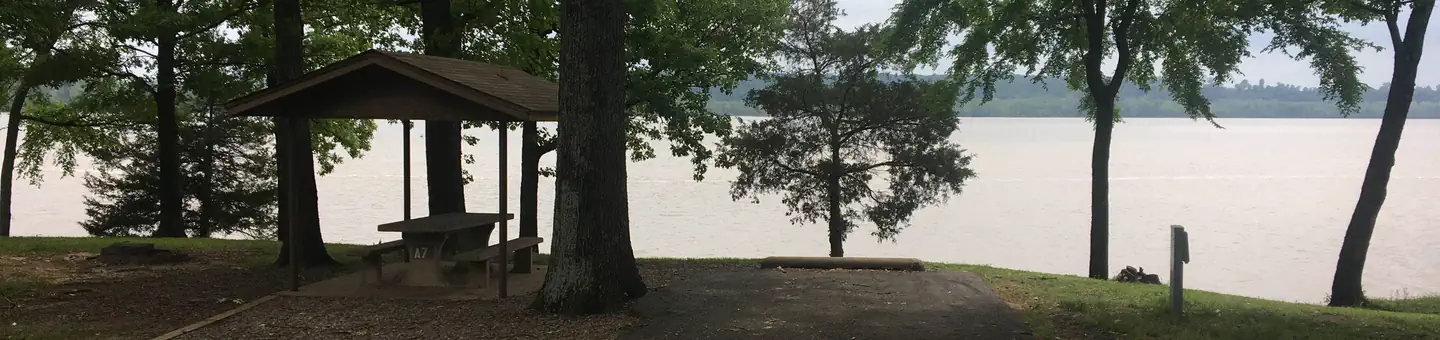
Download a park map HERE . Aux Arc Campground sits on the shores of Ozark Lake in the picturesque Arkansas River Valley. "Aux Arc" is a name that originated with French explorers when they mapped the territory. The term means "the big bend," describing the bend in the Arkansas River. Over time, the name was simplified to "Ozark," thus the name for Ozark Lake. Boating, hiking and picnicking are favorites with locals and visitors alike. Anglers find success with both boat and bank fishing, and popular fish species include catfish, bream, crappie and bass. Public land surrounding the lake yields deer, quail, squirrels, rabbits, dove, wild turkey, ducks and geese for hunting season.
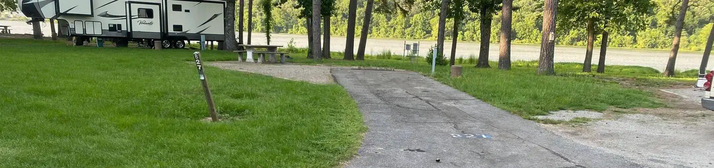
Campsites
| Standard with electric | 81 |
| Host/management | 3 |
| Standard, no hookups | 3 |
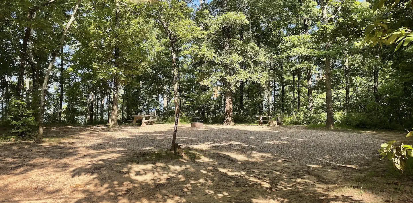
| group shelter electric | 3 |
| RV with electric | 1 |
| Total | 91 |
Amenities & rules
Compiled from site-level records; individual sites vary. Confirm on Recreation.gov or with the managing office.
Getting there
From Ozark, Arkansas, take SR-23 south for 1.5 miles to SR-309. Turn left and follow signs to the park.
Campgrounds nearby
Data source: Recreation.gov RIDB, retrieved August 30, 2026. The Campsite Atlas is an independent publication and is not affiliated with or endorsed by the Recreation.gov or any federal agency. Always confirm critical details on the official Recreation.gov page before you travel.