 Campsite Atlas
Shirttail Creek
Shirttail Campground is located on the north shore of Sugar Pine Reservoir, in the Tahoe National Forest, 15 miles from Foresthill. Visitors enjoy the area for its fishing, boating, OHV, and hiking opportunities. This facility is operated and maintained by the Tahoe National Forest. Fishing, swimming and both motorized and non-motorized boating are popular activities on the reservoir. A paved, non-motorized accessible trail connects recreation sites on the north shore with recreation sites on the south shore and has interpretive signs and shaded benches for rest breaks. The North Fork of the American River is nearby, with additional fishing, white water boating, and swimming.
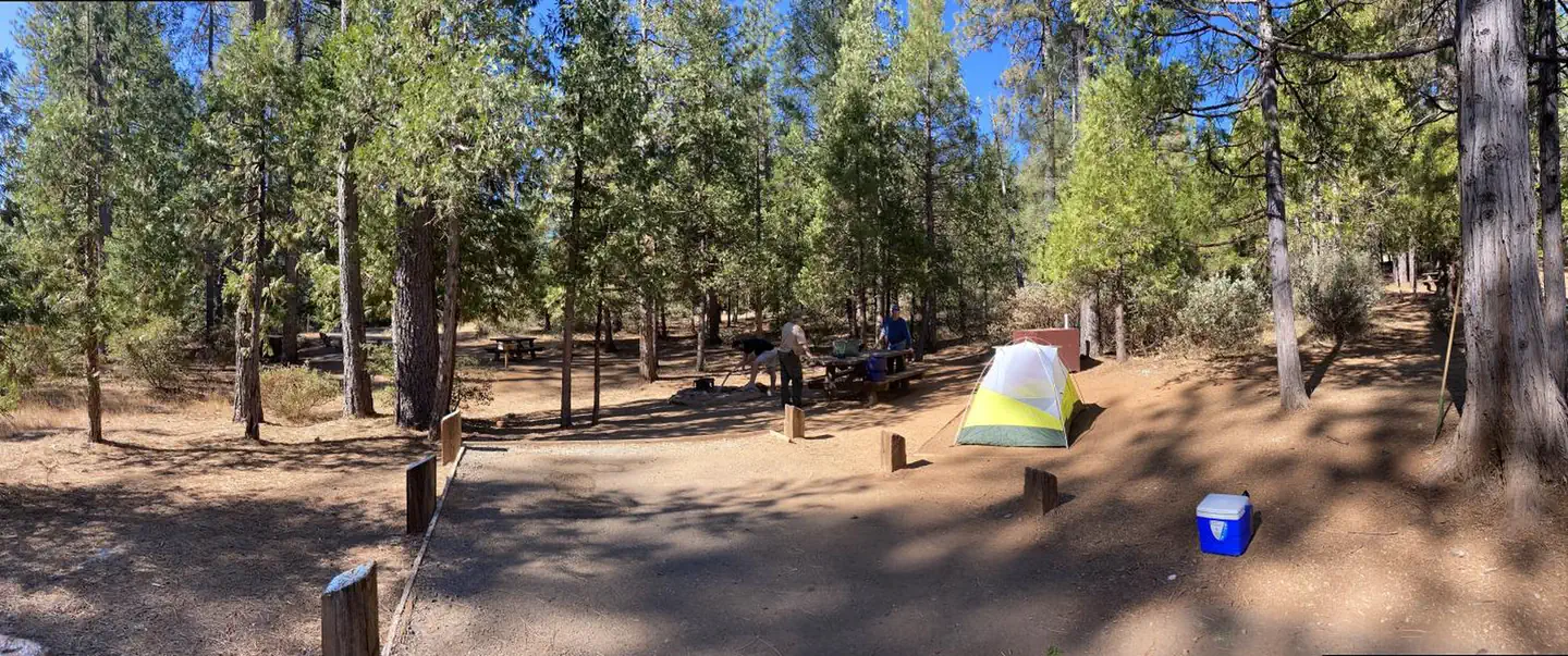
Campsites
| Standard, no hookups | 27 |
| Host/management | 12 |
| Tent-only | 2 |
| Total | 41 |
Amenities & rules
Fees: Single campsites (8 people) $24.00, double campsites (16 people) $48.00, triple campsite (24 people) $72.00.
Compiled from site-level records; individual sites vary. Confirm on Recreation.gov or with the managing office.
Getting there
From either east bound or west bound Interstate 80 take exit 121, Auburn Ravine Road to Foresthill. Continue east for 17 miles, to Foresthill. Travel through town, about 9 miles, to Forest Road 10/Sugar Pine Road. Turn left and continue 9 miles to the Sugar Pine Campgrounds road (approximately 1 mile after crossing the Sugar Pine Reservoir dam).
Campgrounds nearby
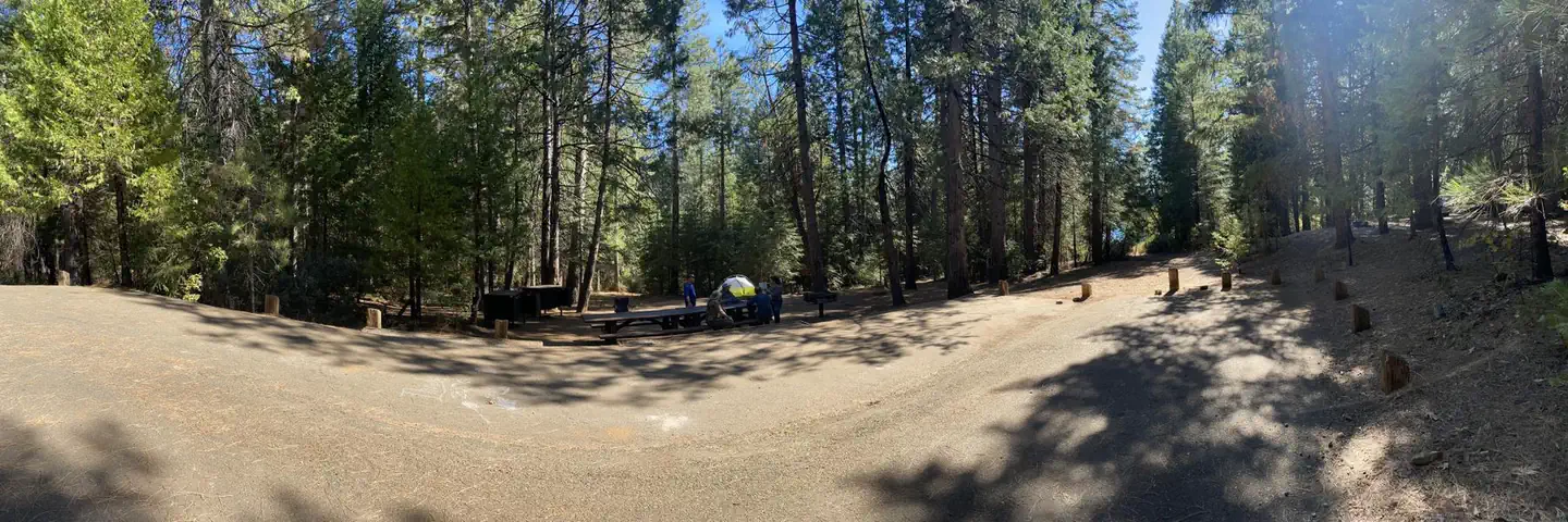 Reservable
0.4 miles away
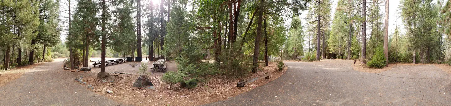 Reservable
0.8 miles away
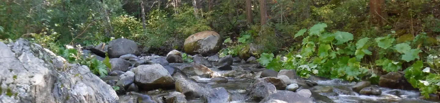 Reservable
10.5 miles away
 Reservable
11.3 miles away
 Reservable
12.2 miles away
Data source: Recreation.gov RIDB, retrieved August 30, 2026. The Campsite Atlas is an independent publication and is not affiliated with or endorsed by the Recreation.gov or any federal agency. Always confirm critical details on the official Recreation.gov page before you travel.