 Campsite Atlas
Tetilla Peak
Tetilla Peak Recreation Area is located in Sandoval County, New Mexico, within the boundaries of the Pueblo de Cochiti Indian Reservation. The lake offers two public recreation areas: Cochiti on the west side of the lake and Tetilla Peak on the east side. Both sides offer spectacular scenic views of the water and surrounding mountains. The Cochiti Dam is one of the ten largest earth-fill dams in the United States, and also one of the largest in the world. The lake derives its name from the Indian Pueblo on the Cochiti Reservation. Our quiet no-wake lake is an ideal for all paddle and wind craft.
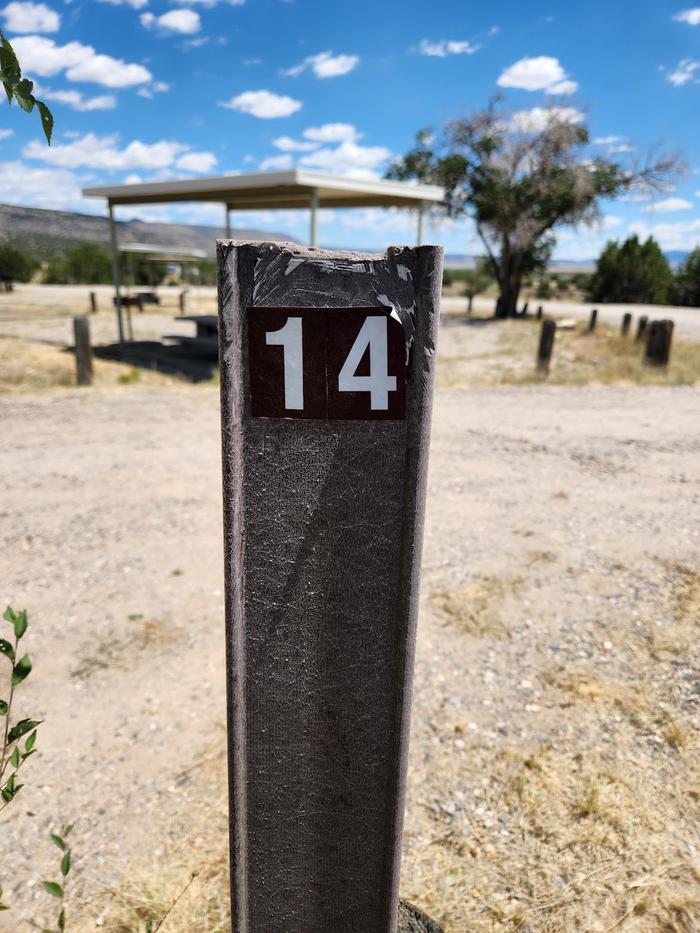
Campsites
| Standard with electric | 35 |
| Standard, no hookups | 10 |
| Total | 45 |
Amenities & rules
Compiled from site-level records; individual sites vary. Confirm on Recreation.gov or with the managing office.
Getting there
From Albuquerque, New Mexico, take I-25 north to exit 264. Travel west on State Road 16 to the Tetilla Peak Recreation Area/La Bajada Village turnoff and follow the paved road into the recreation area.
Campgrounds nearby
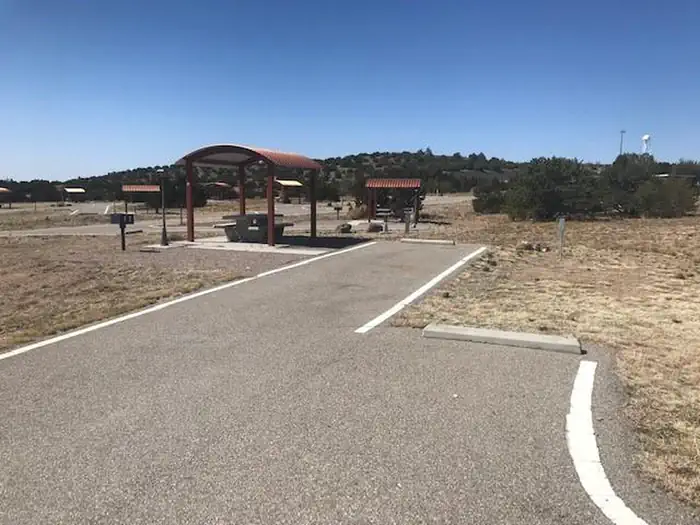 Reservable
1.2 miles away
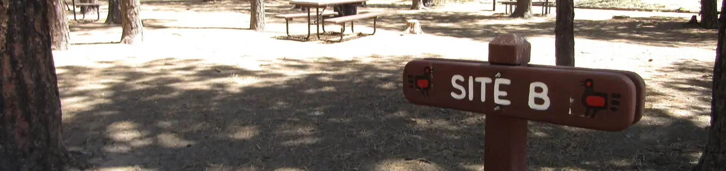
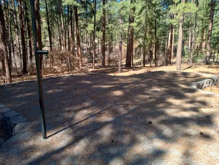 Reservable
18.5 miles away
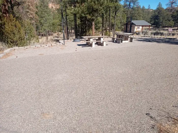
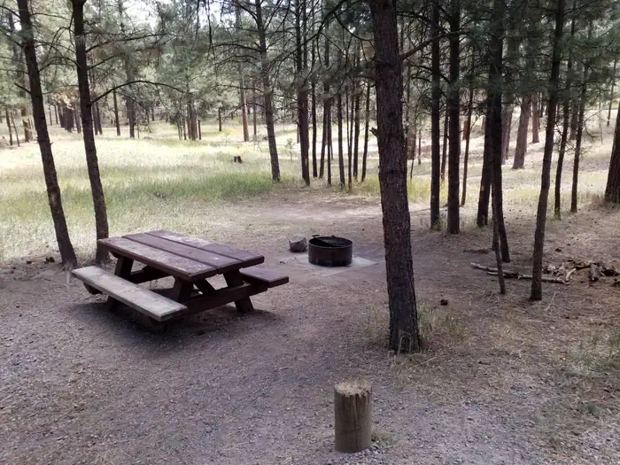
Data source: Recreation.gov RIDB, retrieved August 30, 2026. The Campsite Atlas is an independent publication and is not affiliated with or endorsed by the Recreation.gov or any federal agency. Always confirm critical details on the official Recreation.gov page before you travel.