 Campsite Atlas
Capps Crossing
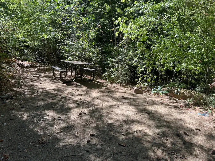
Capps Crossing is located on the North Fork of the Cosumnes River. The campground is located in a forested area and is well shaded during the day. Hiking trails and rock climbing areas are nearby. Wading is possible in the North Fork Cosumnes River. Fishing is an option and a good spot for swimming is nearby. While exploring the river, it's not uncommon to see people panning for gold. Gold-seeking hobbyists maintain the excitement of the old days of gold mining in the region. Capps Crossing is a unique campground. It is designed for groups, by reservation, and can accommodate 42 people.
Campsites
| Tent-only | 4 |
| Standard, no hookups | 4 |
| Host/management | 1 |
| group standard area nonelectric | 1 |
| Total | 10 |
Amenities & rules
Compiled from site-level records; individual sites vary. Confirm on Recreation.gov or with the managing office.
Getting there
From Pollock Pines, take Sly Park Road (County E16) 4.3 miles south to Mormon Emigrant Trail. Turn left onto Mormon Emigrant Trail and drive 11.2 miles east to North-South Road. Turn right onto North-South Road and drive 7 miles south to the campground. The entrance to Capps Crossing will be on the left.
Campgrounds nearby
8.9 miles away
10.3 miles away
Data source: Recreation.gov RIDB, retrieved August 30, 2026. The Campsite Atlas is an independent publication and is not affiliated with or endorsed by the Recreation.gov or any federal agency. Always confirm critical details on the official Recreation.gov page before you travel.