 Campsite Atlas
Timpanogas
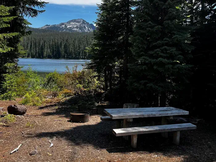
Timpanogas Shelter sits on shore of its namesake lake at an altitude of 5,300 feet in the Willamette National Forest within the Oregon Cascades Recreation Area. The cabin was patterned after the old Civilian Conservation Corps 3-sided shelter and was built in 1991 with the help of a University of Oregon outdoor school class and the Walker Rim Snowmobile Club. The cabin is typically open from late June through late October. It is accessible by car, but the last 7 miles of the road are rough and narrow. Anglers enjoy fishing for brook trout and cutthroat on upper and lower Timpanogas Lakes, even though the lakes are closed to motorcraft. Canoeing is also possible on the lakes.
Campsites
| Host/management | 2 |
| Cabins | 1 |
| Total | 3 |
Getting there
From I-5, take Exit 188A onto Highway 58 and proceed just past MP 37 (east of Oakridge), turning right onto Kitson Springs Road. Proceed 0.5 mile to junction with Forest Service Road (FSR) 21, also signed as Diamond Drive. Turn right onto FSR 21 and continue approximately 32 miles, turning left onto paved FSR 2154.
Campgrounds nearby
5.9 miles away
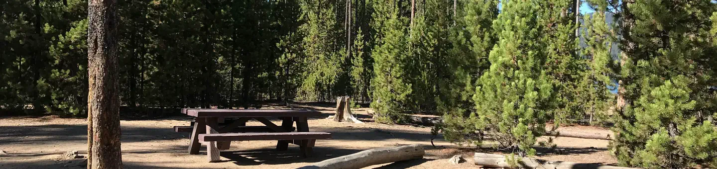
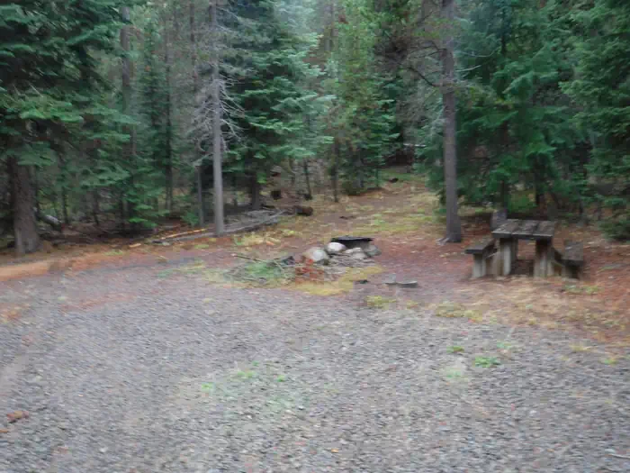
Data source: Recreation.gov RIDB, retrieved August 30, 2026. The Campsite Atlas is an independent publication and is not affiliated with or endorsed by the Recreation.gov or any federal agency. Always confirm critical details on the official Recreation.gov page before you travel.