 Campsite Atlas
Akers
Two of America's clearest spring-fed rivers combine to create the Ozark National Scenic Riverways in the rolling, forested landscape of Akers. Visitors to the campground enjoy various water activities, as well as hiking, horseback riding and wildlife viewing. The crystal-clear Current River flows past the campground, offering excellent canoeing, tubing, swimming and fishing. Over 130 miles of waterways exist within the park. Canoe and kayak rentals and outfitters can be found nearby. Several miles of hiking and horseback riding trails crisscross the region, include the Alley Overlook Trail, Chubb Hollow Trail, Ozark Trail, Cave Spring Trail and Big Springs Trail.
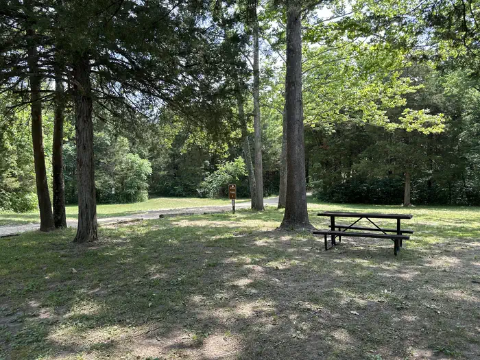
Campsites
| Group tent areas | 4 |
| Total | 4 |
Amenities & rules
Compiled from site-level records; individual sites vary. Confirm on Recreation.gov or with the managing office.
Getting there
Akers Campground is 20 miles (32 km) south of Salem, Missouri. From Salem, take Highway 19 south 4 miles (6.4 km). Turn right on Highway KK for 16 miles (26 km) to Akers Group Campground. The campground is 1/2 mile (.8 km) north of Akers Ferry (junction of Highways K and KK).
Campgrounds nearby
Data source: Recreation.gov RIDB, retrieved August 30, 2026. The Campsite Atlas is an independent publication and is not affiliated with or endorsed by the Recreation.gov or any federal agency. Always confirm critical details on the official Recreation.gov page before you travel.