 Campsite Atlas
Upper Hole Campground
This facility is only accessible by boat or trail. Location: 22 miles east of Georgetown on Wentworth Springs Road, and 29 miles northeast on Forest Highway 2 (Eleven Pines road) to Hell Hole Reservoir, then 3 miles southeast by boat or hiking trail. Upper Hell Hole Campground Recreation Opportunity Guide (ROG) - This guide contains information, maps, and directions to assist you in enjoying your trip to the Eldorado National Forest.
The federal database holds very little for this campground, so this page is short. For current conditions and details, the official links in the sidebar are the better source.
Campgrounds nearby
3.2 miles away
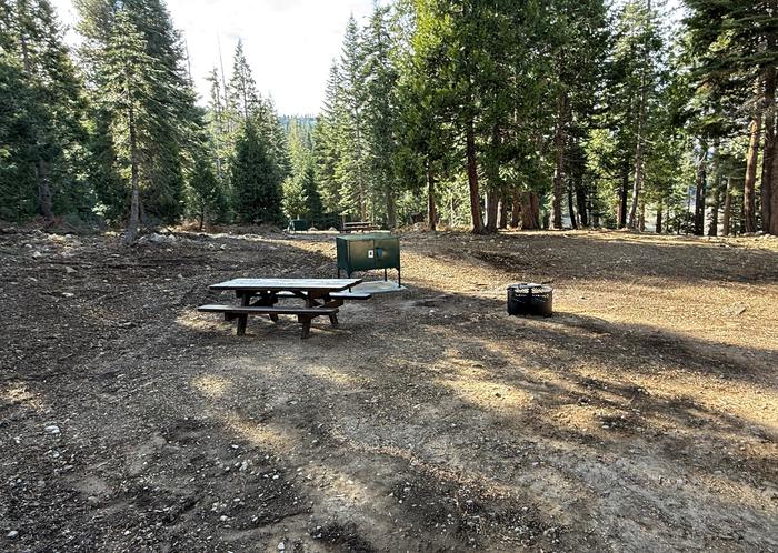
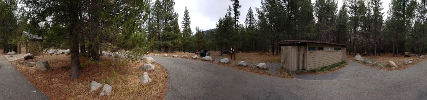 Reservable
4.7 miles away
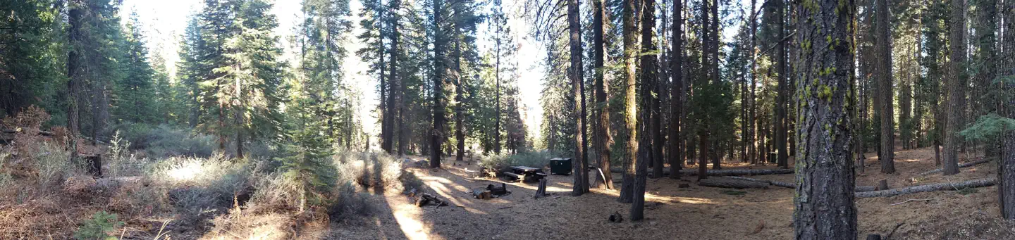 Reservable
4.7 miles away
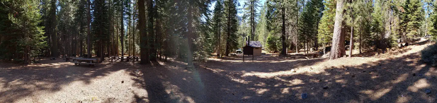 Reservable
4.9 miles away
Data source: Recreation.gov RIDB, retrieved August 30, 2026. The Campsite Atlas is an independent publication and is not affiliated with or endorsed by the Recreation.gov or any federal agency. Always confirm critical details on the official Recreation.gov page before you travel.