 Campsite Atlas
Lake Como Campground
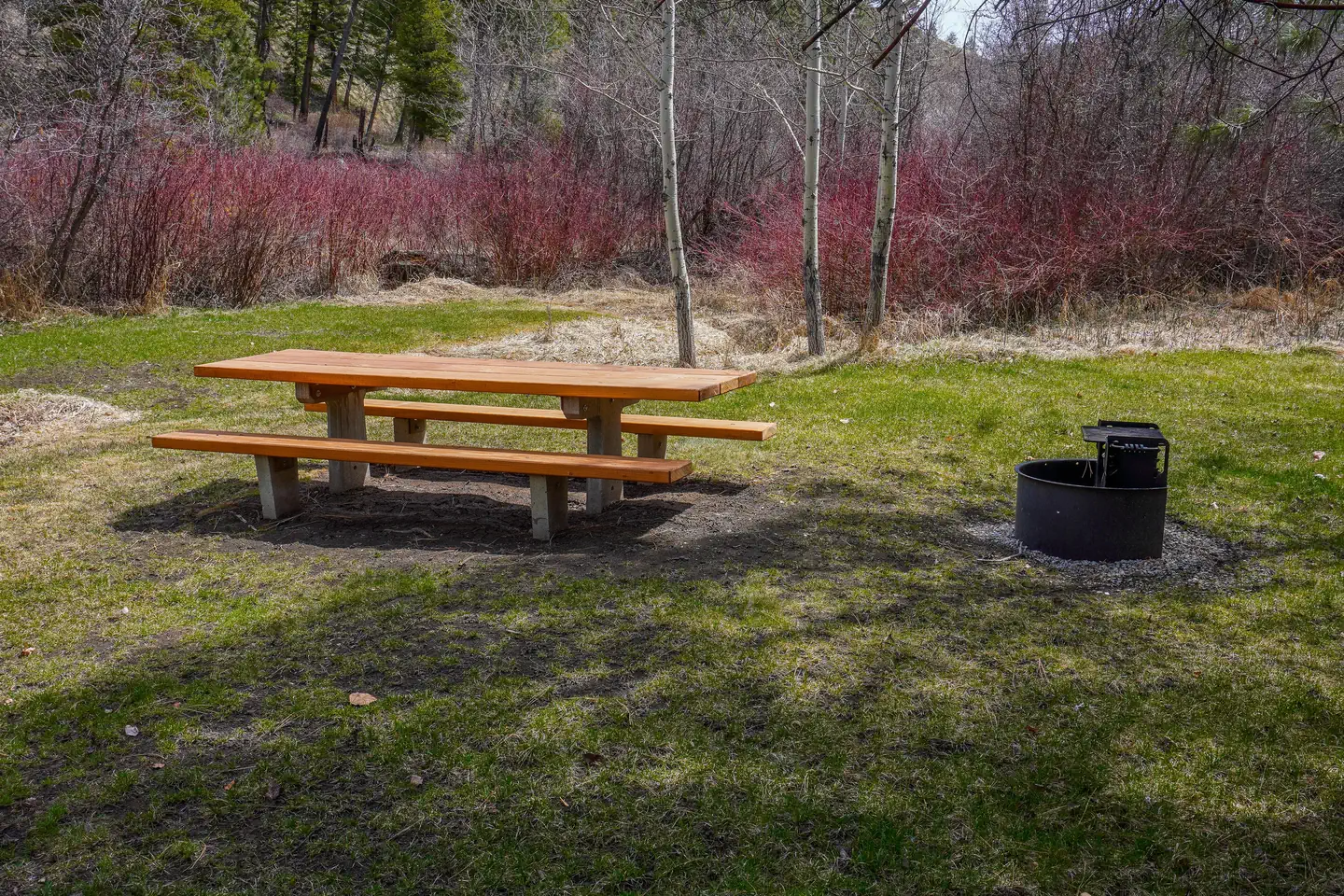
The campground, a.k.a. Lower Como, is a single loop through a stand of mixed pine and fir trees and one of three campgrounds in the Lake Como Recreation Area. It is located below Lake Como. The understory is grass with good privacy between campsites. Lake Como Lower Campground is paved and features a host site and ten 125' pull through recreational vehicle (RV) sites (with electrical and water hookups) water, and garbage services. Three sites are handicap accessible, and there are 4 handicap accessible vault toilets located throughout the campground. This is bear country; practice safe food storage techniques. Lake Como is 913 acres. The beach is large and sandy.
The federal database holds very little for this campground, so this page is short. For current conditions and details, the official links in the sidebar are the better source.
Getting there
From Darby,MT travel north for 4 miles on Highway 93. Turn west (left) onto Lake Como Rd. Follow for 3 miles. Turn north (right) and follow signs to campground.
Campgrounds nearby
13.9 miles away
Data source: Recreation.gov RIDB, retrieved August 30, 2026. The Campsite Atlas is an independent publication and is not affiliated with or endorsed by the Recreation.gov or any federal agency. Always confirm critical details on the official Recreation.gov page before you travel.