 Campsite Atlas
Hurricane River Campground
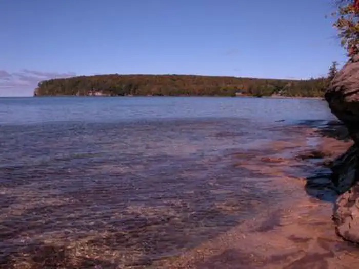
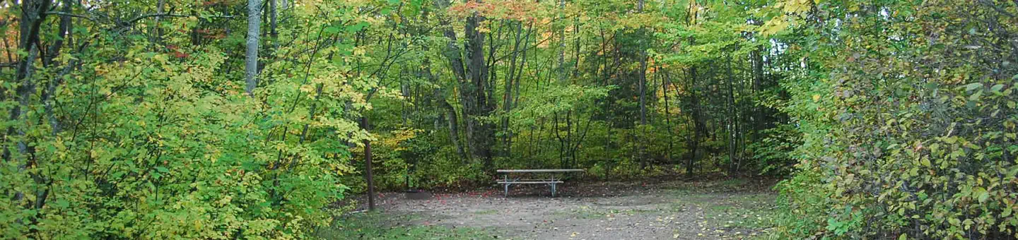
Pictured Rocks National Lakeshore hugs the Lake Superior shoreline for more than 40 miles along Michigan's northern coast. Lake Superior is the largest, deepest, coldest, and most pristine of all the Great Lakes. Camping at Pictured Rocks National Lakeshore is a great way to relax and enjoy the beauties the lakeshore has to offer. Campgrounds are rustic, and do not provide electric or sewer hookups. Campers, trailers, and RVs are welcome, note there are generator free areas. Cell phone reception is limited, so unplug, unwind, and enjoy the serenity Pictured Rocks National Lakeshore Campgrounds has to offer.
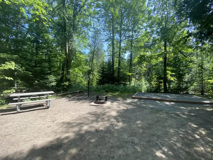
Campsites
| Standard, no hookups | 21 |
| Host/management | 1 |
| Total | 22 |
Amenities & rules
Fees: All campsites are $25.00 per day by reservation only. Senior Pass and Access Pass holders receive a 50% discount. The pass number must be entered when making reservation.
Compiled from site-level records; individual sites vary. Confirm on Recreation.gov or with the managing office.
Getting there
Pictured Rocks NL is located on the south shore of Lake Superior in Michigan's Upper Peninsula, between the towns of Munising (west) and Grand Marais (east). Access the west side of the park via Michigan highways M-28 and M-94 to Munising. State highway M-77 leads to Grand Marais on the east side.
Campgrounds nearby
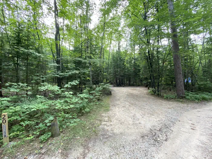
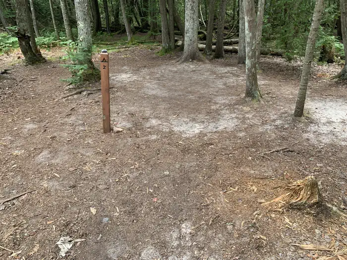

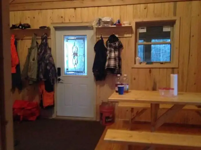
Data source: Recreation.gov RIDB, retrieved August 30, 2026. The Campsite Atlas is an independent publication and is not affiliated with or endorsed by the Recreation.gov or any federal agency. Always confirm critical details on the official Recreation.gov page before you travel.