 Campsite Atlas
Burnt Corral Campground
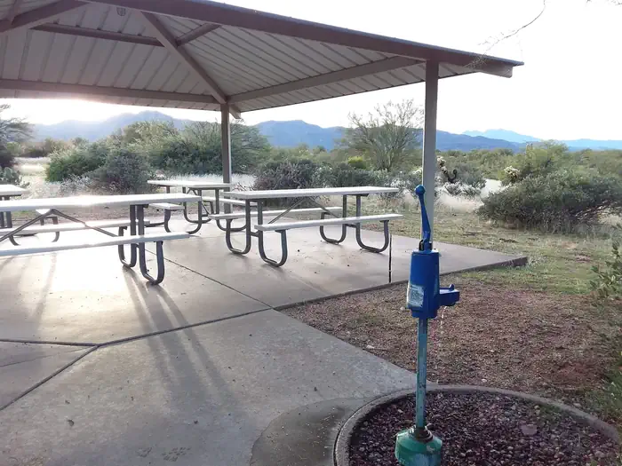
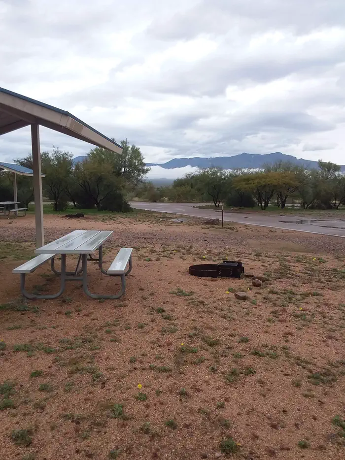
Burnt Corral Campground and Recreation Area (elevation 1914') is about 5.8 miles south of Roosevelt Dam along the Apache Trail (AZ Hwy 88) along the shoreline of Apache Lake. It is nestled amongst the saguaros, mesquites, and palo verdes, and offers opportunities to boat, swim, fish, relax, hike, and sightsee. Motorboating, fishing, water-skiing, and paddlesports are very popular because of the developed and undeveloped lake access from within the campground. Others may enjoy hiking nearby trails, being challenged by local jeep trails, or practicing their landscape photography, or simply relaxing with a good book.
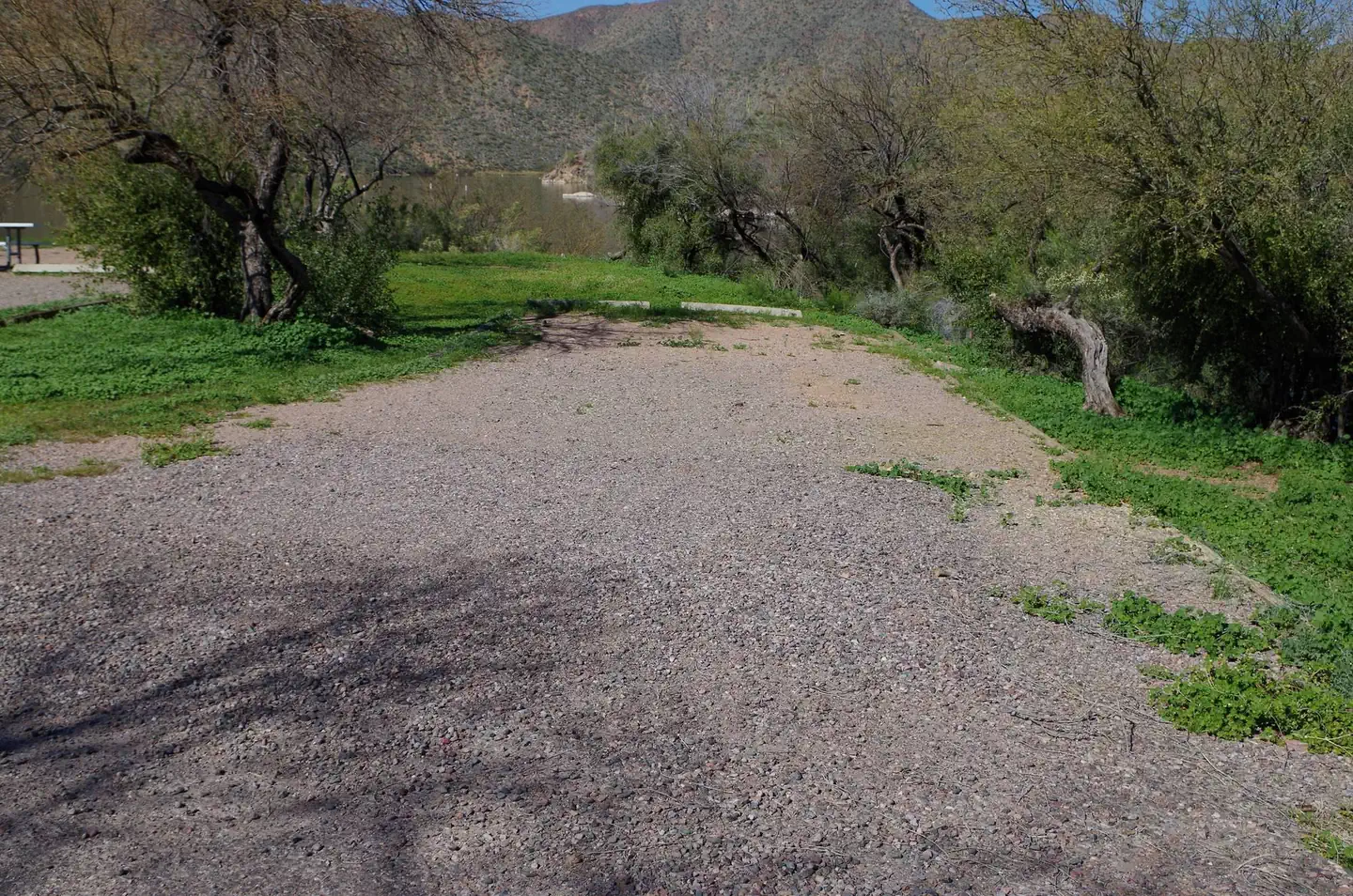
Campsites
| Standard, no hookups | 79 |
| Total | 79 |
Amenities & rules
Compiled from site-level records; individual sites vary. Confirm on Recreation.gov or with the managing office.
Getting there
Access to Burnt Corral from Tortilla Flat HWY88E/Apache Trail is currently closed, please use an alternative route. From the Mesa area: Head to AZ-87N for approximately 59 miles. Turns right onto AZ-188S for 31.6 miles. Turn right onto AZ-88W for 6 miles and Burnt Corral Recreation Site will be on your right.
Campgrounds nearby
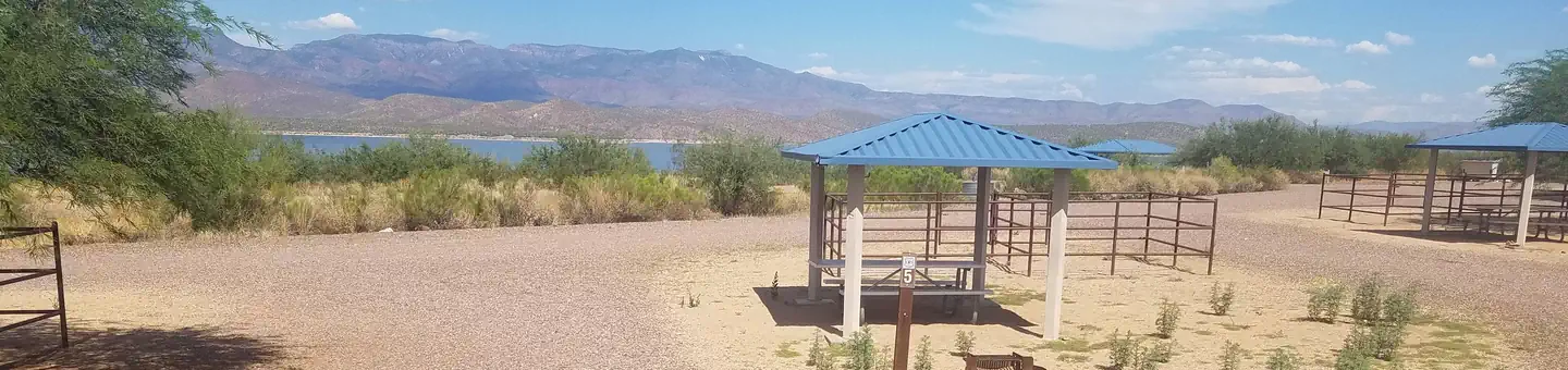
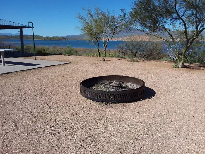

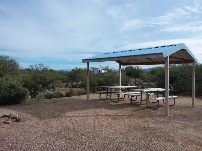
Data source: Recreation.gov RIDB, retrieved August 30, 2026. The Campsite Atlas is an independent publication and is not affiliated with or endorsed by the Recreation.gov or any federal agency. Always confirm critical details on the official Recreation.gov page before you travel.