 Campsite Atlas
Alsea Falls Recreation Site (Campground)
Reserve a site at Alsea Falls on recreation.gov or pay when you arrive for non-reserved campsites using the Recreation.gov Mobile App . You must download before you reach the site since there is no cell reception in the drainage. Alsea Falls Recreation Site is located along a Bureau of Land Management National Back Country Byway, located in the Oregon Coast Range, 13 miles west of Monroe, Oregon, in Benton County. Alsea Falls is open for camping the first weekend in May through the end of September of each year. Day use is open year round. The South Fork of the Alsea River flows through the Alsea Falls Recreation Site, cascading down 30 feet to form Alsea Falls in the day use area.
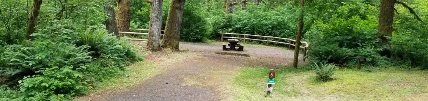
Campsites
| Host/management | 17 |
| Standard, no hookups | 16 |
| Walk-in | 5 |
| Total | 38 |
Amenities & rules
Fees: Northwest Oregon District Recreation Site Business Plan . The $15, $20, and $40 campsite fee includes one vehicle per site. Extra camping vehicle fee of $5 each is collected at the site. Additional service fees apply and are non-refundable.
Compiled from site-level records; individual sites vary. Confirm on Recreation.gov or with the managing office.
Getting there
From Corvallis: Take Hwy 99W south about 15 miles. Turn right on Alpine Road, follow for approximately 9 miles. Alpine Road turns into South Fork Road. Follow about 4 miles to the Alsea Falls Campground on the right. From Alsea: Travel south from the town Alsea on Alsea-Deadwood Hwy for about 1 mile.
Campgrounds nearby
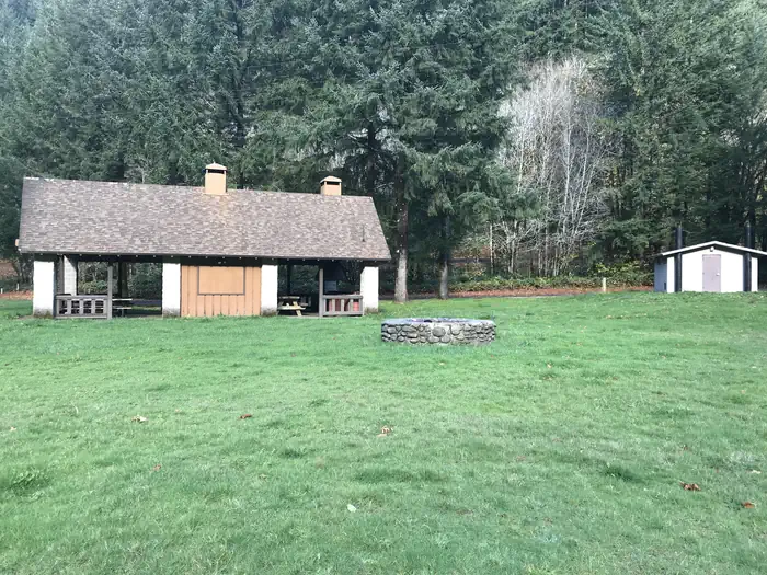 Reservable
13.9 miles away
16.3 miles away
 Reservable
17.5 miles away
19.3 miles away
22.2 miles away
Data source: Recreation.gov RIDB, retrieved August 30, 2026. The Campsite Atlas is an independent publication and is not affiliated with or endorsed by the Recreation.gov or any federal agency. Always confirm critical details on the official Recreation.gov page before you travel.