 Campsite Atlas
Zapata Falls Campground
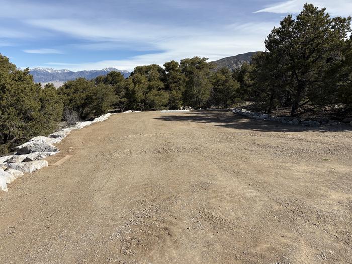
A short drive up the gravel road that leads to the Bureau of Land Management’s Zapata Falls Campground (CG) will let visitors to the area see the San Luis Valley and Great Sand Dunes National Park & Preserve from a whole new perspective. The campground offers bird’s-eye views of the valley floor below, the San Juan Mountains to the west, the adjacent Great Sand Dunes National Park and Preserve, and several 14er’s and many other towering peaks of the Sangre de Cristo Mountain range that Zapata Falls CG sits on — not to mention spectacular sunrises, sunsets and night skies! .
Campsites
| RV, no hookups | 25 |
| Standard, no hookups | 11 |
| Host/management | 5 |
| picnic | 3 |
| Group tent areas | 1 |
| Total | 45 |
Amenities & rules
Fees: Individual Sites = $11/night. Group Tent Site = $20/night. 14 day Max Stay.
Compiled from site-level records; individual sites vary. Confirm on Recreation.gov or with the managing office.
Getting there
Zapata Falls is accessed by Colorado State Highway 150 between mile markers 10 and 11, located approximately 5 miles south of Great Sand Dunes National Park and Preserve and 10.5 miles north of U.S. Highway 160. The turn-off is to the east, and the campground is located 3.5 miles (5.8km) up an unpaved road. Elevation 9,088ft.
Campgrounds nearby
 Reservable
9.4 miles away
13.3 miles away
31.2 miles away
Data source: Recreation.gov RIDB, retrieved August 30, 2026. The Campsite Atlas is an independent publication and is not affiliated with or endorsed by the Recreation.gov or any federal agency. Always confirm critical details on the official Recreation.gov page before you travel.