 Campsite Atlas
Thompson Creek Campground
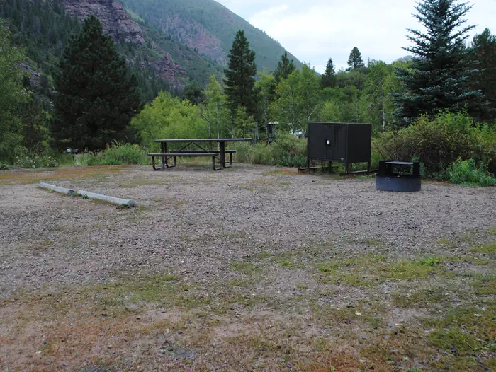
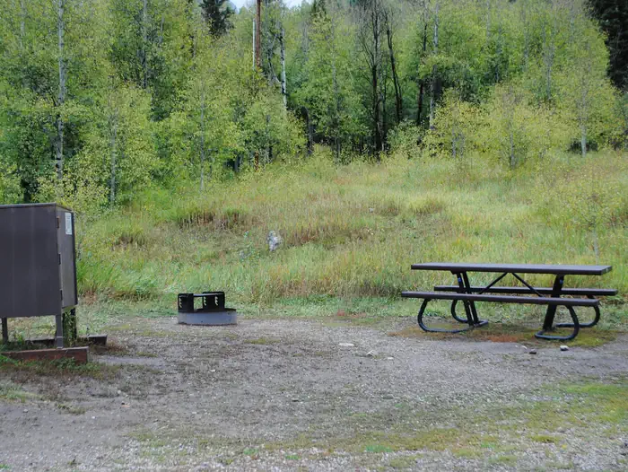
The Thompson Creek Recreation Management Area is located just a few miles southwest of Carbondale and provides beautiful, remote recreational opportunities. On the North end of the RMA is the Lorax trail, which is a popular non motorized route. In the southwest corner of the area is the Thompson Creek campground and trail, which winds along Thompson Creek to views of the rare geologic “fin” formations. There are 4 shaded campsites along the creek with metal fire rings. There are not picnic tables or restrooms. Must pack out all human waste to eliminate contamination of creek. There are not waste collections. Access is not recommended during wet or snowy conditions.
The federal database holds very little for this campground, so this page is short. For current conditions and details, the official links in the sidebar are the better source.
Getting there
The campground is located along Thompson Creek. Go west on State Highway 133 in the town of Carbondale. At the roundabout take Main Street (County Road 108) which turns into North Thompson Creek Road. Parking for the Lorax trail head is approximately 4 miles up on the left.
Campgrounds nearby
Data source: Recreation.gov RIDB, retrieved August 30, 2026. The Campsite Atlas is an independent publication and is not affiliated with or endorsed by the Recreation.gov or any federal agency. Always confirm critical details on the official Recreation.gov page before you travel.