 Campsite Atlas
Millpond Recreation Site
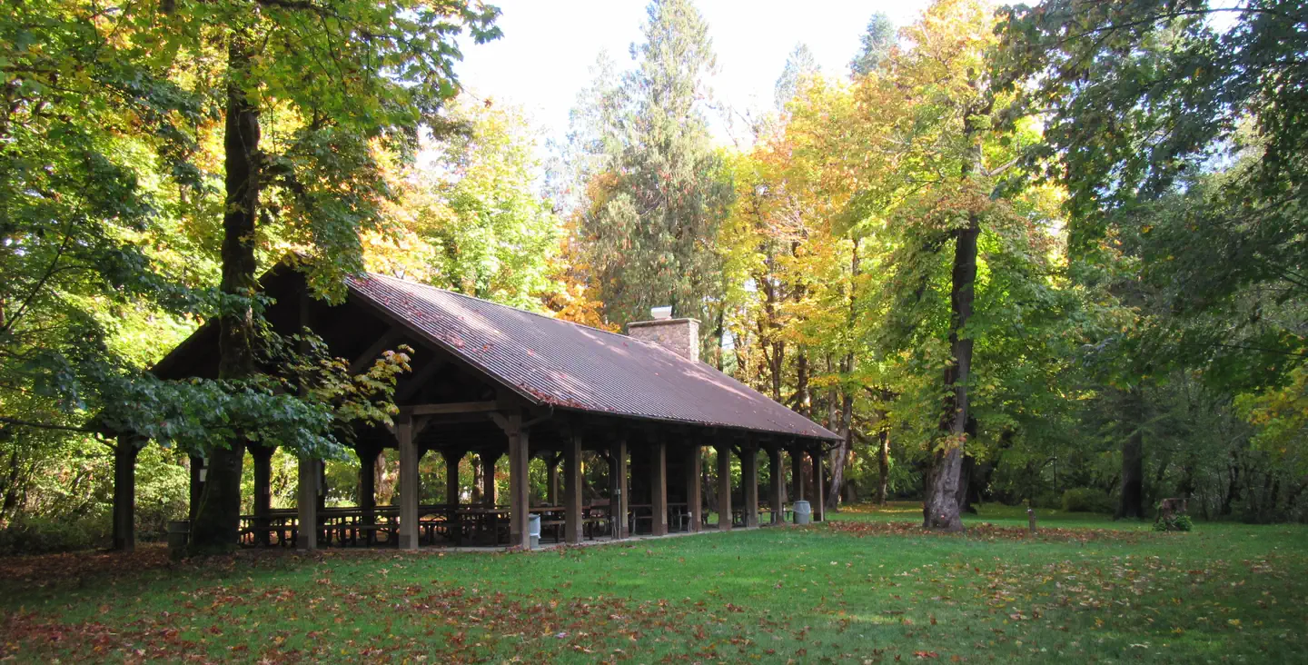
THIS LOCATION IS CLOSED UNTIL FURTHER NOTICE DUE TO WILDFIRE DAMAGE. Nestled along the clear waters of Rock Creek, Millpond’s lush forest gives way to spacious grassy areas, great for day-use and running the kids and dogs. A children's play area, a large ball-field, interpretive panels, and swimming areas are all available at Millpond. There is a short nature trail on the west end of the campground and the mile-long Sawmill Trail to the east. In 1988 congress designated the North Umpqua River as a National Wild and Scenic River, preserving and protecting it for outdoor enthusiasts.
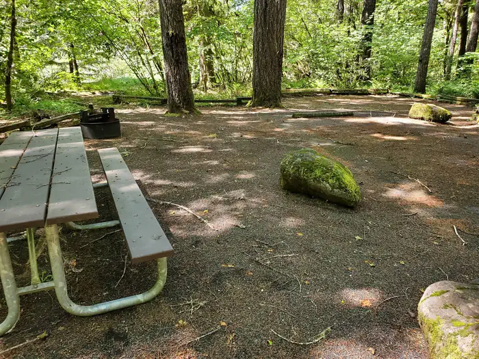
Campsites
| Standard, no hookups | 12 |
| Total | 12 |
Amenities & rules
Compiled from site-level records; individual sites vary. Confirm on Recreation.gov or with the managing office.
Getting there
Travel 22 miles east of Roseburg on Highway 138. Six miles east of Glide, turn north on Rock Creek Road (County Road 78). Travel five miles to the campground. Elevation: 1170’.
Campgrounds nearby



Data source: Recreation.gov RIDB, retrieved August 30, 2026. The Campsite Atlas is an independent publication and is not affiliated with or endorsed by the Recreation.gov or any federal agency. Always confirm critical details on the official Recreation.gov page before you travel.