Wailaki Campground
Surrounded by old growth firs, brimming with native flora this is the ideal spot for those looking for solitude and relaxation while staying on a paved road. Bear Creek runs through the campground (treat any water source before drinking.) Provides access to the Southern Lost Coast Trail & Sinkyone Wilderness via the Chemise Mountain Trail. Be sure to check current weather conditions and be aware of low hanging branches or dead trees that can fall during high winds. Features and Services Facilities Day-use area, picnic tables, bear-proof trash cans & fire rings. Access and Parking: 24' camper limit. Wheelchair accessible. No OHV access. No hook-ups. Cell Service: None. Toilets: Vault.
More like this: first-come in California · accessible sites in California

Amenities & rules
| Fees | $15.00 per campsite per night. |
| Accessibility | Accessible sites available |
Individual sites vary. Confirm on Recreation.gov or with the managing office.
Weather by month
Getting there
Location: U.S. 101 to Redway. West 22 miles on Briceland/Shelter Cove Road. south 2 miles on Chemise Mountain Road.
| Coordinates | 40.0196° N, 124.0035° W · Directions ↗ |
Fire nearby
- PrescribedMrrd Programatic Pile Rx
37 mi from the campground
Distance is to the reported incident point, not the fire edge. Call the managing office before you drive.
Supplies & services
| Outdoor gear | The Outdoor Store ↗ | 41.1 mi |
Locations © OpenStreetMap contributors. Call ahead; hours change seasonally.
No site-by-site records or photos in the Recreation.gov record. What is here comes from the agency's own listing. The rest lives there.
Checked nightly. Modules appear as soon as the record fills in.
Explore
Public land it sits in
Rocks and Islands Wilderness begins about 3.9 miles away, and it is the closest of these.
- 3.9 miRocks and Islands Wilderness ↗Wilderness · Bureau of Land Management · 6 acres
- 4.9 miKing Range National Conservation Area ↗National Conservation Area · Bureau of Land Management · 62,057 acres
- 8.4 miKing Range Wilderness ↗Wilderness · Bureau of Land Management · 42,695 acres
Each unit is published as a centre point and an acreage rather than a boundary, so this section stands it in for a circle of the same area. Whether a campground is inside, and how far it is from one it is outside, are both approximate.
Other campgrounds nearby


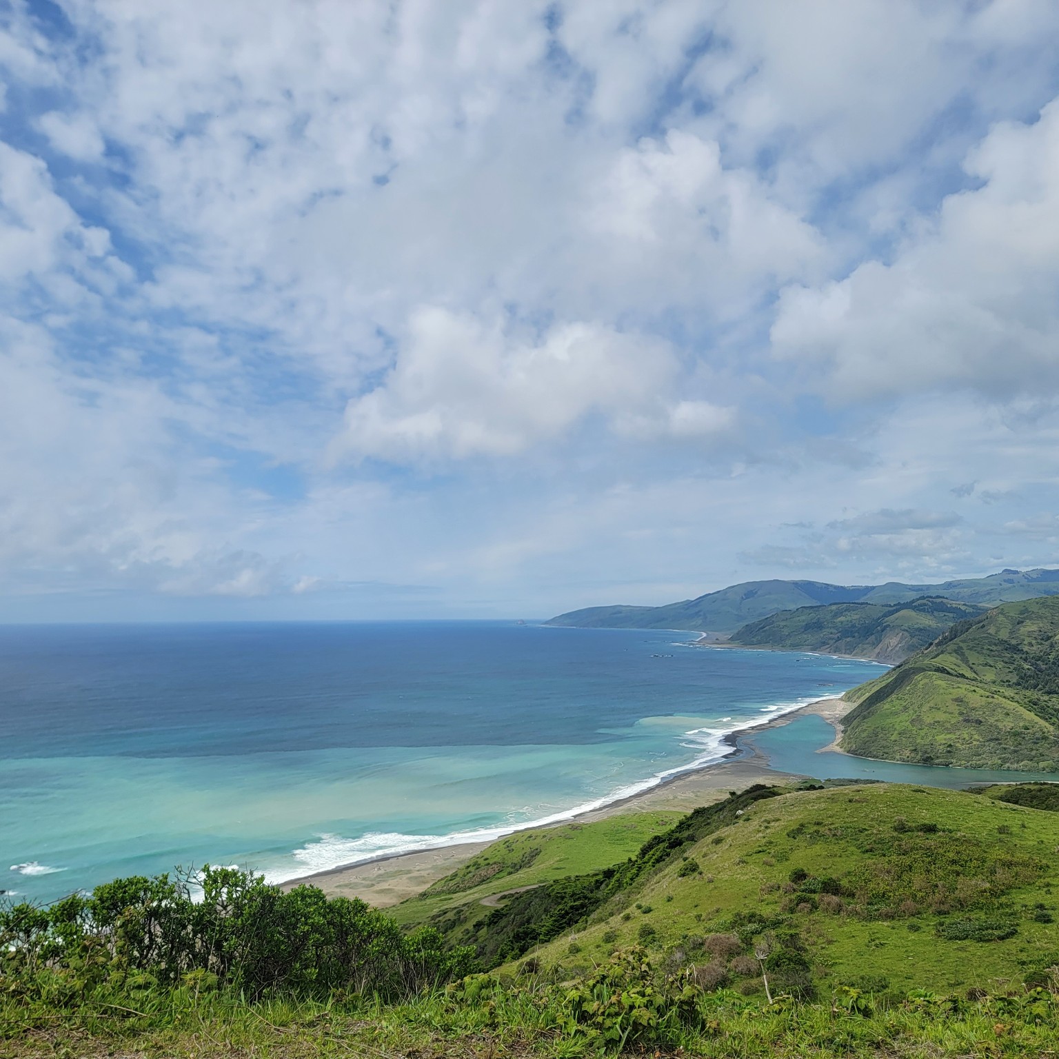
On the National Register nearby
- Benbow InnBuilding · Garberville · 11.8 mi
Guidebooks for California
We earn a small commission if you buy through these links. It does not change what we list.
Titles come from Open Library's catalog, matched by subject heading or by title.
Reference
Questions people ask
Do I need a reservation at Wailaki Campground?
No. Wailaki Campground is first-come, first-served. Sites are taken on arrival and paid at the fee station.
Source: How first-come camping works
How much does it cost to camp at Wailaki Campground?
$15.00 per campsite per night.
How many sites does Wailaki Campground have?
13 sites.
Source: Site mix
Are there accessible sites at Wailaki Campground?
Accessible sites available.
What if Wailaki Campground is full?
The nearest public campgrounds are Nadelos Campground (0.2 mi, first-come), Tolkan Campground (5.2 mi, first-come), and Honeydew Creek (15.8 mi, first-come).
Source: Campgrounds nearby