 Campsite Atlas
Clay Creek Recreation Site
Overnight camping is closed until further notice. Day-use recreation areas remain open for public use. Reserve a campsite at Clay Creek on recreation.gov or pay when you arrive for non-reserved campsites using the Recreation.gov Mobile App . You must download before you reach the site since there is no cell reception in the drainage. Clay Creek Recreation Site is nestled in the Coast Range of Oregon between Eugene and the Oregon coast at an elevation of 436-492 feet. Located at the confluence of Clay Creek and the Siuslaw River, this recreation site offers a wealth of activities including forest hiking, fishing, wildlife viewing, picnicking and camping.
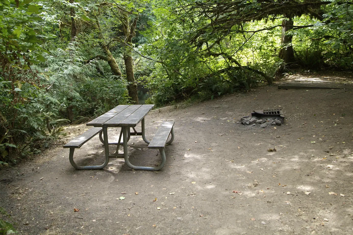
Campsites
| Host/management | 23 |
| Total | 23 |
Amenities & rules
Fees: Campsite fee includes one vehicle per site. Extra camping vehicle fee of $5 each is collected at the site. Cash or check, made out to Bureau of Land Management, is accepted. Fee envelope receipt stub must be displayed on the dash.
Compiled from site-level records; individual sites vary. Confirm on Recreation.gov or with the managing office.
Getting there
From Eugene (valley): From Interstate 5 go west on Beltline Road to West 11th Avenue. Turn right onto West 11th Avenue (Highway OR-126). Follow Highway 126 about 29 miles to Siuslaw River Road just west of Walton. Turn left on Siuslaw River Road and follow about 10 miles to the intersection of BLM Road 19-7-20.1.
Campgrounds nearby
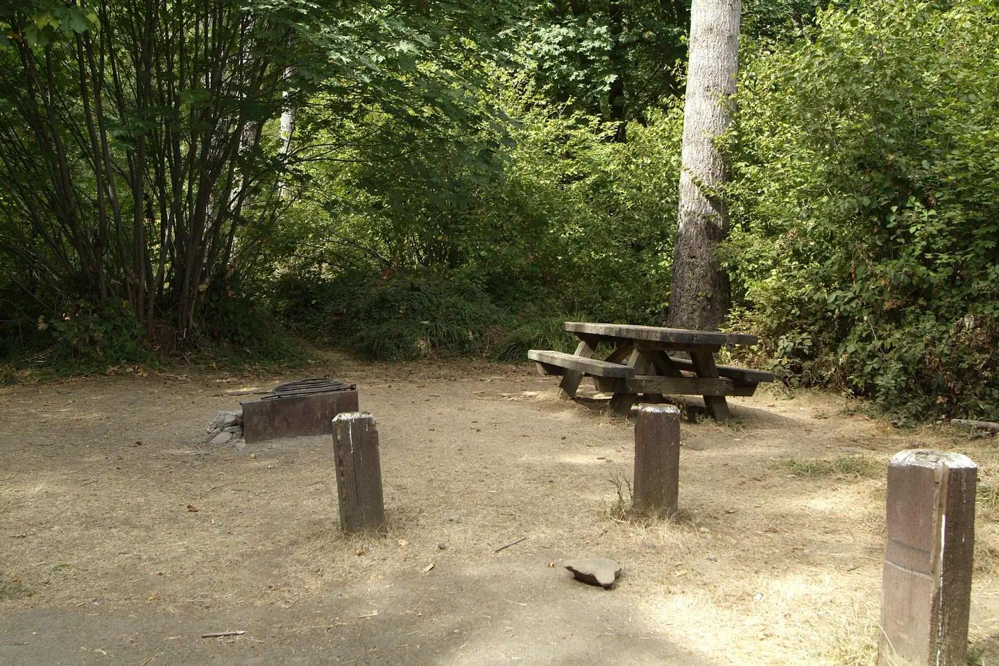
14.2 miles away
19.2 miles away
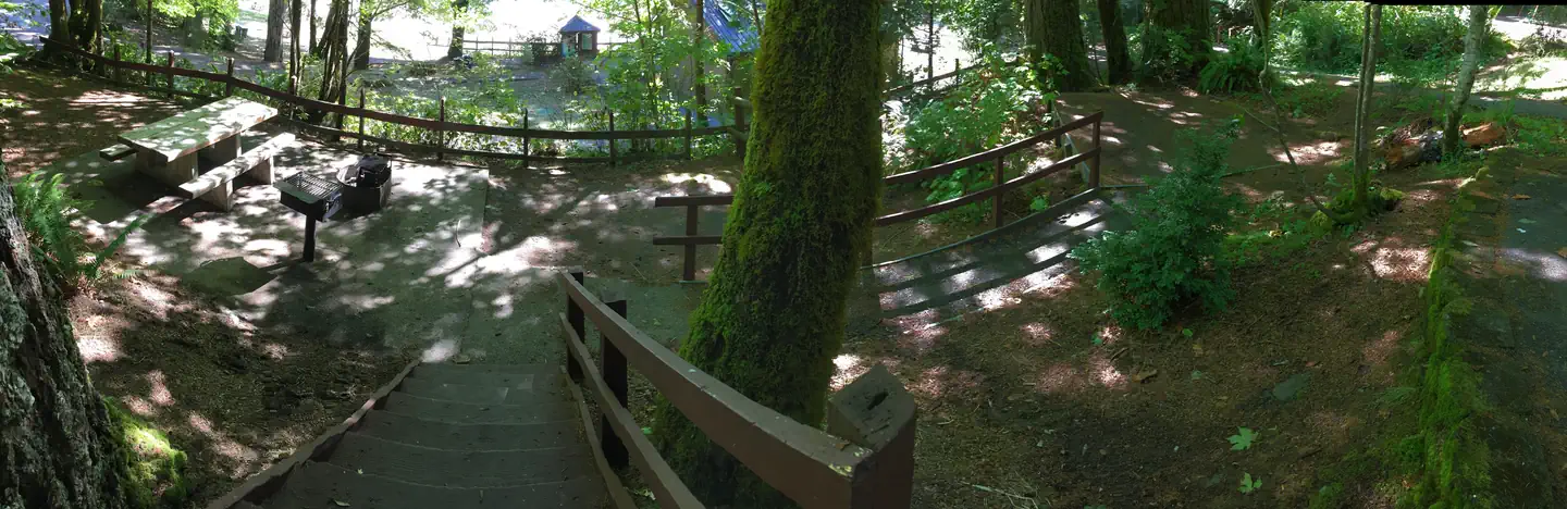 Reservable
25.2 miles away
Data source: Recreation.gov RIDB, retrieved August 30, 2026. The Campsite Atlas is an independent publication and is not affiliated with or endorsed by the Recreation.gov or any federal agency. Always confirm critical details on the official Recreation.gov page before you travel.