 Campsite Atlas
Reyes Peak Campground
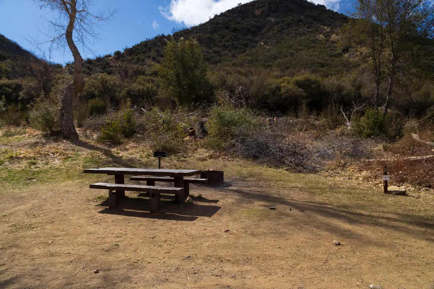
At an elevation of 7,000 feet, Reyes Peak Campground, rises above the Sespe Wilderness and is situated along a ridge with spectacular views of the Cuyama Badlands on one side and the Pacific Ocean from the other side. On clear days you can even see some of the Channel Islands! Several trails leave the Reyes Peak Campground area. Chorro Grande Trail is located at the gate just past the last campsite. Raspberry Spring Trail will lead you north on a short one-half mile walk through the pines. It starts at the parking area on the western edge of the campground. The Reyes Peak Trail (23W04) is moderately difficult.
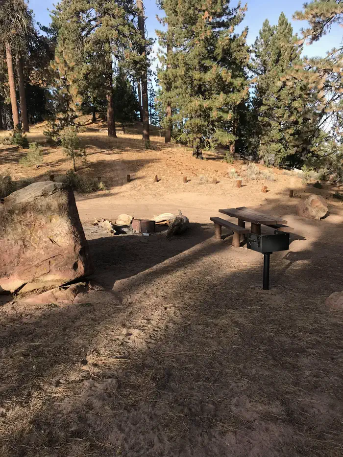
Campsites
| Tent-only | 6 |
| Total | 6 |
Amenities & rules
Compiled from site-level records; individual sites vary. Confirm on Recreation.gov or with the managing office.
Getting there
Follow Highway 33 to the turnoff at Pine Mountain Summit (6N06) which is at mile marker 42.50. Turn right and follow the partially paved road another 5.7 miles. The total distance from Ojai Ranger Station Reyes Peak is 39 miles.
Campgrounds nearby

Data source: Recreation.gov RIDB, retrieved August 30, 2026. The Campsite Atlas is an independent publication and is not affiliated with or endorsed by the Recreation.gov or any federal agency. Always confirm critical details on the official Recreation.gov page before you travel.