Bitterroot Flat Campground
Located in the Rock Creek drainage, this campground is adjacent to Rock Creek, situated amongst ponderosa pine and Douglas-fir trees. This area is known for its blue ribbon trout stream and rugged canyon environment.
More like this: first-come in Montana · tent only in Montana

Amenities & rules
| Equipment | Tents |
| Fees | $15 per night. Limit 2 vehicles per site. Fees charged from April through September. |
Individual sites vary. Confirm on Recreation.gov or with the managing office.
Season & status
| Status | Open |
| Season | May 9 |
| Forest | Lolo National Forest |
| Booking | No reservations are taken. |
| Fees | $15 per night. Limit 2 vehicles per site. Fees charged from April through September. |
| Rules | Bear Safety and Food Storage Requirements Information |
Weather by month
Getting there
| Coordinates | 46.4685° N, 113.7774° W · Directions ↗ |
Fire nearby
- PrescribedRx D1 3-Mile Bravo
10 mi from the campground · 400 acres
- PrescribedRx D3 Lower Blackfoot Corridor F4
32 mi from the campground · 101 acres
- PrescribedRx Mfd Morrison Peak
33 mi from the campground · 672 acres
- PrescribedRx D2 Little Jumper 7
34 mi from the campground · 28 acres
Distance is to the reported incident point, not the fire edge. Call the managing office before you drive.
Supplies & services
| RV sales & service | Hamilton RV Sales Of Montana ↗ | 22.6 mi |
| Outdoor gear | Cabela's ↗ | 28.2 mi |
Locations © OpenStreetMap contributors. Call ahead; hours change seasonally.
Explore
Video
360° Virtual Tour Campgrounds - Bitterroot Flat up Rock Creek - Clinton, Montana MT.
Worth a stop
- 11.6 miPalisade Mountain Nrt Trailhead ↗Trailhead
Trails nearby
- 2.8 miWahlquist Ridge ↗5.9 mi trail · hiking, horse, bike
- 2.9 miHutsinpilar Ridge ↗5.5 mi trail · hiking, horse, bike
- 2.9 miQuigg Peak1.1 mi trail · hiking, horse, bike
- 3.4 miButte Cabin Ridge ↗10.9 mi trail · hiking, horse, bike
- 3.6 miButte Cabin Creek ↗9.6 mi trail · hiking, horse, bike
- 3.8 miCinnamon Bear Ridge ↗6.1 mi trail · hiking, horse, bike, snowmobile
Trail and trailhead records are the Forest Service's. Distances are straight-line to the nearer trail end. Trail conditions are not tracked here.
Public land it sits in
Welcome Creek Wilderness begins about 5.8 miles away, and it is the closest of these.
- 5.8 miWelcome Creek Wilderness ↗Wilderness · Forest Service · 28,248 acres
- 14.6 miLee Metcalf National Wildlife Refuge ↗National Wildlife Refuge · Fish and Wildlife Service · 2,827 acres
Each unit is published as a centre point and an acreage rather than a boundary, so this section stands it in for a circle of the same area. Whether a campground is inside, and how far it is from one it is outside, are both approximate.
Other campgrounds nearby

Cabin and lookout rentals nearby
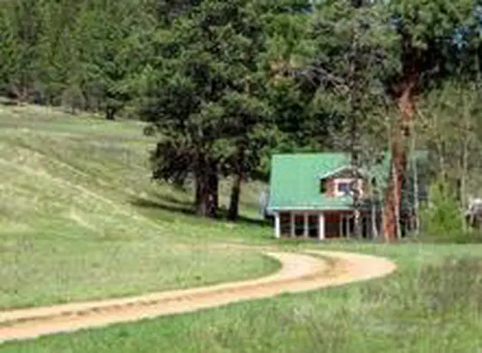


Historic landmarks nearby

Guidebooks for Montana
We earn a small commission if you buy through these links. It does not change what we list.
Titles come from Open Library's catalog, matched by subject heading or by title.
Reference
Questions people ask
Do I need a reservation at Bitterroot Flat Campground?
No. Bitterroot Flat Campground is first-come, first-served. No reservations are taken. Sites are taken on arrival and paid at the fee station.
Source: Forest Service
How much does it cost to camp at Bitterroot Flat Campground?
$15 per night. Limit 2 vehicles per site. Fees charged from April through September.
Source: Forest Service
Is Bitterroot Flat Campground open right now?
Open as of Oct 26, 2026. Season May 9.
Source: Forest Service status
Can I bring an RV to Bitterroot Flat Campground?
Bitterroot Flat Campground is listed for tents only.
Source: Forest Service
What if Bitterroot Flat Campground is full?
The nearest public campgrounds are Siria Campground (4.2 mi, first-come), Harry's Flat Campground (4.9 mi, first-come), and Gold Creek Campground (7.7 mi, first-come).
Source: Campgrounds nearby