Wildcat Creek Campground #2 Upper
Damage to West Wildcat Road does not allow safe vehicle access to the campgrounds. Wildcat 2 Campground is closed. Wildcat Road has sustained 4 slides in recent years (with the first slide happening in 2019). We appreciate your patience as we work to restore Wildcat Road.
More like this: first-come in Georgia · tent only in Georgia

Amenities & rules
| Equipment | Tents |
| Fees | Camping: $10/site/night, $5/site/night with Senior or Access Pass, need pass available to put pass number on fee envelope with the cash or check. Please make all checks payable to USDA Forest Service. |
Individual sites vary. Confirm on Recreation.gov or with the managing office.
Season & status
| Status | Temporarily closed |
| Forest | Chattahoochee-Oconee National Forest |
| Fees | Camping: $10/site/night, $5/site/night with Senior or Access Pass, need pass available to put pass number on fee envelope with the cash or check. Please make all checks payable to USDA Forest Service. |
| Rules | The maximum stay is 14 days. Quiet hours 10:00 pm to 6:00 am. Sites must be occupied from the first day. After the camper(s) has accumulated 14 days within any 30-day time period, the camper(s) must leave that area/campground and move from Chattahoochee-Oconee National Forest land for 30 days before returning for another stay. |
Weather by month
Getting there
| Coordinates | 34.8322° N, 83.6261° W · Directions ↗ |
Fire nearby
- PrescribedRx Bird Dog
28 mi from the campground · 34 acres
- PrescribedRx - Buck Branch
49 mi from the campground · 652 acres
- PrescribedRx - Rymer Camp
50 mi from the campground · 381 acres
Distance is to the reported incident point, not the fire edge. Call the managing office before you drive.
Supplies & services
| Dump station | Dump station ↗ | 10 mi |
| Outdoor gear | Wander North Georgia ↗ | 13.2 mi |
| RV sales & service | Blairsville RV Sales ↗ | 14.9 mi |
Locations © OpenStreetMap contributors. Call ahead; hours change seasonally.
Explore
Worth a stop
- 2 miHemlock Falls Hiking Trailhead ↗Trailhead
- 10 miAngel Falls Trailhead ↗Trailhead
- 12.9 mi
- 14.7 miJackrabbit Mountain Beach ↗Swimming
Trails nearby
- 1.7 miHemlock Falls1 mi trail · hiking, horse, bike
- 2.5 miAddis Gap0.8 mi trail · hiking, bike
Trailheads within three miles
- 2 miHemlock Falls Hiking Trailhead ↗Chattahoochee-Oconee National Forest · Season Open year-round
Trail and trailhead records are the Forest Service's. Distances are straight-line to the nearer trail end. Trail conditions are not tracked here.
Public land it sits in
This campground sits inside Tray Mountain Wilderness, which overlaps Chattahoochee-Oconee National Forests.
- inTray Mountain Wilderness ↗Wilderness · Forest Service · 10,343 acres
- inChattahoochee-Oconee National Forests ↗National Forest · Forest Service · 1,796,317 acres
- inNational Forests in North Carolina ↗National Forest · Forest Service · 3,026,237 acres
Each unit is published as a centre point and an acreage rather than a boundary, so this section stands it in for a circle of the same area. Whether a campground is inside, and how far it is from one it is outside, are both approximate.
Other campgrounds nearby

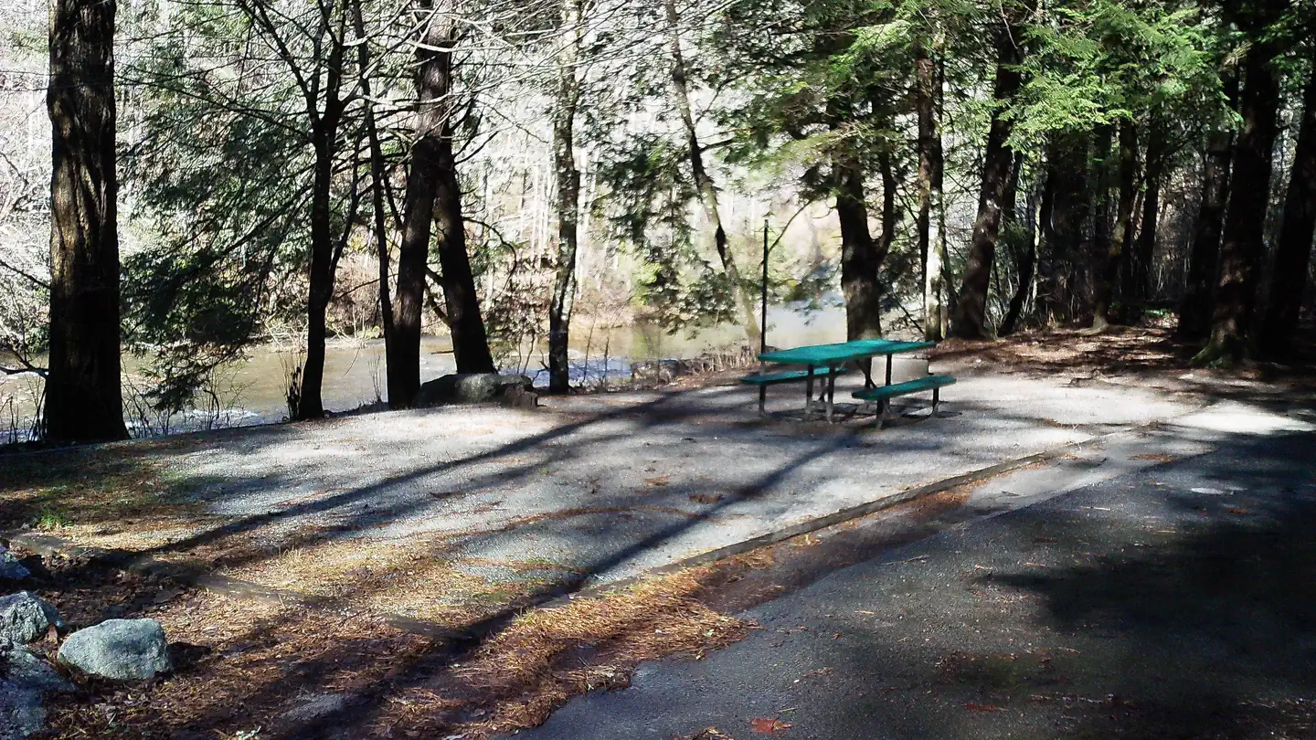
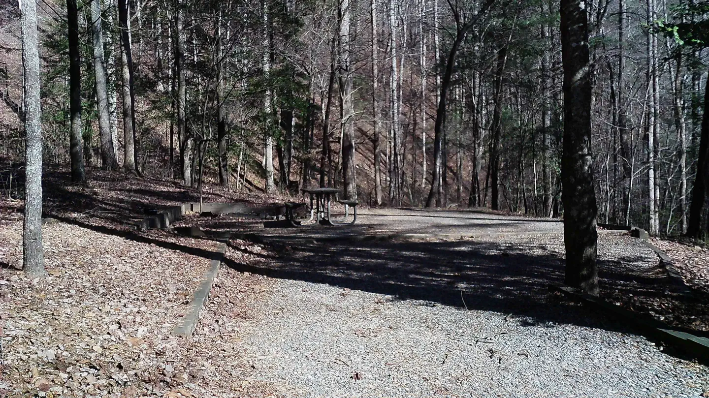
On the National Register nearby
- Harshaw-Stovall HouseBuilding · Sautee · 9.4 mi
- Sautee Valley Historic DistrictHistoric district · Sautee · 9.5 mi
- James Henry and Rachel Kilby HouseBuilding · Clayton · 10.8 mi
Guidebooks for Georgia
We earn a small commission if you buy through these links. It does not change what we list.
Titles come from Open Library's catalog, matched by subject heading or by title.
Reference
Questions people ask
How much does it cost to camp at Wildcat Creek Campground #2 Upper?
Camping: $10/site/night, $5/site/night with Senior or Access Pass, need pass available to put pass number on fee envelope with the cash or check. Please make all checks payable to USDA Forest Service.
Source: Forest Service
Is Wildcat Creek Campground #2 Upper open right now?
Temporarily closed as of Oct 26, 2026.
Source: Forest Service status
Can I bring an RV to Wildcat Creek Campground #2 Upper?
Wildcat Creek Campground #2 Upper is listed for tents only.
Source: Forest Service
What if Wildcat Creek Campground #2 Upper is full?
The nearest public campgrounds are Wildcat Creek Campground #1 Lower (0.5 mi, first-come), Andrew's Cove Campground (7.3 mi, partly first-come), and Tallulah River Campground (8 mi, partly first-come).
Source: Campgrounds nearby