Big John's Flat CUA Dispersed
Dispersed Camping Area Located just south of the Tushar Mountain Peaks, Big John Flat area is a favorite recreational spot because of its large meadows that have spectacular scenery. This area also offers opportunities for winter sport enthusiasts such as snowmobiling and cross-country skiing. Common vegetation includes Engelmann spruce, aspen and fir stands with large meadows. The general terrain is a large meadow encompassed by trees. This area is open to ATV use on designated roads and trails. Please help prevent erosion and soil compaction by staying on roads and main driving trails.
More like this: first-come in Utah · free in Utah · tent only in Utah

Amenities & rules
| Equipment | Tents |
| Fees | No fee |
Individual sites vary. Confirm on Recreation.gov or with the managing office.
Season & status
| Status | Open |
| Forest | Fishlake National Forest |
| Booking | Dispersed camping area, no reservations required. You need to be self-contained. No amenities are provided; such as water, restrooms or trash cans. You may camp in a dispersed area for up to 16 days. |
| Fees | No fee |
| Rules | All motorized travel is restricted to designated travel routes. Cross country travel prohibited. |
Weather by month
Getting there
| Coordinates | 38.3443° N, 112.3999° W · Directions ↗ |
Fire nearby
- PrescribedPocket Piles Rx
37 mi from the campground
- PrescribedIron Draw Piles Rx
42 mi from the campground
Distance is to the reported incident point, not the fire edge. Call the managing office before you drive.
Supplies & services
| Dump station | Dump station ↗ | 37.9 mi |
Locations © OpenStreetMap contributors. Call ahead; hours change seasonally.
Explore
Video
Utah's Best Free Camping
Worth a stop
- 9.9 miCottonwood Trailhead ↗Trailhead
- 11.9 miBirch Creek Trailhead ↗Trailhead
Trails nearby
- 0.1 miGrizzley Ridge - Big John3 mi trail · hiking, horse, bike, 4WD and 1 more
- 0.3 miTanner Hollow - Big John ↗12.7 mi trail · hiking, horse, bike
- 0.8 miJim Reed Creek - Bosman ↗7.2 mi trail · hiking, horse, bike
- 0.9 miBlue Lake ↗6.9 mi trail · hiking, horse, bike
- 1.6 miPoison Creek - So Fk Bullion3.8 mi trail · hiking, horse, bike
- 1.7 miDuncan Creek - Bosman0.8 mi trail · hiking, horse, bike
Trailheads within three miles
- 0.7 miBosman-Big John Flat Trailhead ↗Fishlake National Forest · Season May
- 1.1 miSkyline-Big John Flat Trailhead ↗Fishlake National Forest · Season June
- 2.4 miMud Lake Trailhead ↗Fishlake National Forest
- 2.6 miThree Creeks Trailhead ↗Fishlake National Forest · Season June
Trail and trailhead records are the Forest Service's. Distances are straight-line to the nearer trail end. Trail conditions are not tracked here.
Public land it sits in
Fishlake National Forest begins about 1.1 miles away, and it is the closest of these.
- 1.1 miFishlake National Forest ↗National Forest · Forest Service · 1,787,979 acres
Each unit is published as a centre point and an acreage rather than a boundary, so this section stands it in for a circle of the same area. Whether a campground is inside, and how far it is from one it is outside, are both approximate.
Other campgrounds nearby
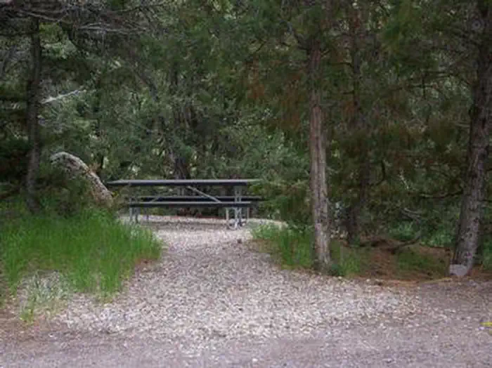

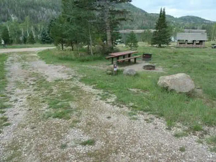
Cabin and lookout rentals nearby
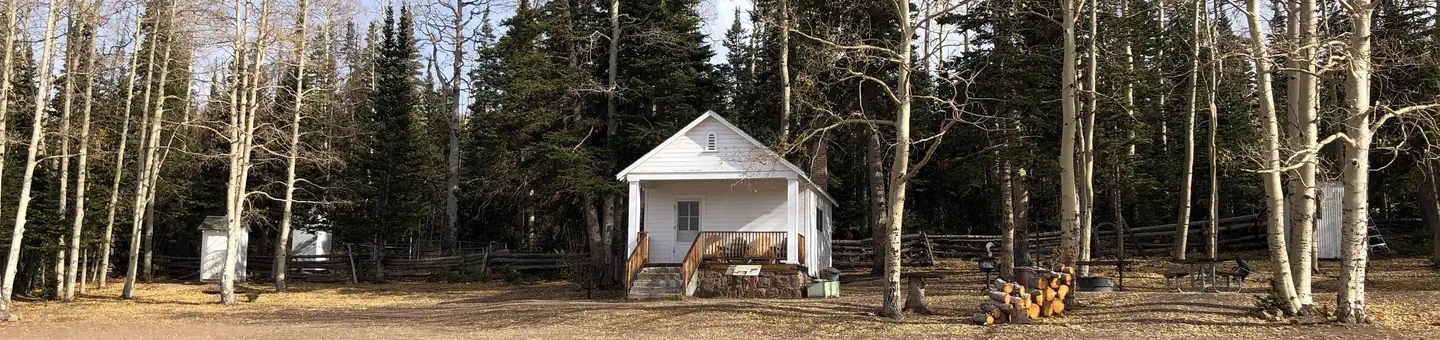
On the National Register nearby
- Fort CameronBuilding · Beaver · 11.8 mi
- John and Ella Morrill HouseBuilding · Junction · 12.2 mi
- Piute County CourthouseBuilding · Junction · 12.2 mi
Guidebooks for Utah
We earn a small commission if you buy through these links. It does not change what we list.
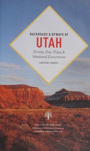
Titles come from Open Library's catalog, matched by subject heading or by title.
Reference
Questions people ask
How much does it cost to camp at Big John's Flat CUA Dispersed?
Nothing. Big John's Flat CUA Dispersed is listed as free. No fee
Source: Forest Service
Is Big John's Flat CUA Dispersed open right now?
Open as of Oct 26, 2026.
Source: Forest Service status
Can I bring an RV to Big John's Flat CUA Dispersed?
Big John's Flat CUA Dispersed is listed for tents only.
Source: Forest Service
What if Big John's Flat CUA Dispersed is full?
The nearest public campgrounds are Mahogany Cove Campground (7 mi), City Creek Campground (7.1 mi, first-come), and Little Reservoir Campround (7.5 mi).
Source: Campgrounds nearby