Mallard Bay Overflow Recreation Site
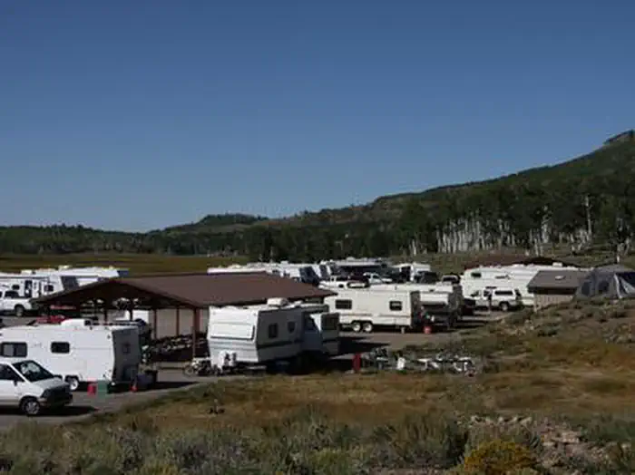
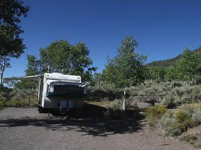
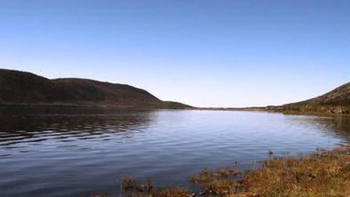
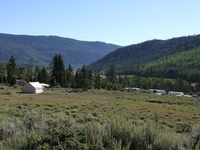
Overview Mallard Bay Overflow Camping Area is next to Fish Lake and the Fishlake Scenic Byway in central Utah at an 9,000 feet elevation. The camping area is used as an overflow camping area when all other campgrounds in the Fish Lake Basin are full. Recreation Fish Lake is Utah's largest natural mountain lake, covering 2,500 acres. It is famous for its 20-40 pound Mackinaw lake trout. Anglers also enjoy fishing for rainbow trout and splake. Boating, canoeing, swimming and scuba diving are popular activities. The five-mile Pelican Canyon Trail begins at nearby Bowery Creek Campground.
More like this: first-come in Utah

Amenities & rules
| Hookups | None |
| Equipment | RVs & trailers, Tents |
| Fees | Please call or email for fees. Please Note: All campgrounds on the Fishlake National Forest are managed by High Country Recreation under the terms and conditions of a concession permit that was issued to them by the Forest Service in 2020. Email: highcountryrec@gmail.com Phone: 435-633-3028 |
Individual sites vary. Confirm on Recreation.gov or with the managing office.
Season & status
| Status | Open |
| Season | May |
| Forest | Fishlake National Forest |
| Fees | Please call or email for fees. Please Note: All campgrounds on the Fishlake National Forest are managed by High Country Recreation under the terms and conditions of a concession permit that was issued to them by the Forest Service in 2020. Email: highcountryrec@gmail.com Phone: 435-633-3028 |
Weather by month
Getting there
| Coordinates | 38.5287° N, 111.7357° W · Directions ↗ |
Fire nearby
- PrescribedSalina Canyon East Rx
21 mi from the campground · 17,375 acres
- PrescribedPocket Piles Rx
37 mi from the campground
- PrescribedIron Draw Piles Rx
41 mi from the campground
Distance is to the reported incident point, not the fire edge. Call the managing office before you drive.
Supplies & services
| Dump station | Dump station ↗ | 0.3 mi |
Locations © OpenStreetMap contributors. Call ahead; hours change seasonally.
Explore
Worth a stop
- 2.6 miRust Spring Trailhead ↗Trailhead
- 3.6 miPelican Trailhead ↗Trailhead
- 7.8 miKoosharem Day Use Site ↗Day use
Trails nearby
- 0.3 miDoctor Creek1.7 mi trail · hiking, horse, bike
- 0.3 miLakeshore ↗18.2 mi trail · hiking, horse, bike
- 3.2 miPelican Canyon3.7 mi trail · hiking, horse, bike
- 3.8 miRight Fork Pelican Canyon1.8 mi trail · hiking, horse, bike
- 4.1 miPole Canyon ↗9.5 mi trail · hiking, horse, bike, e-bike
Trailheads within three miles
- 0.4 miDoctor Creek Trailhead ↗Fishlake National Forest · Season June
- 2.6 miRust Spring Trailhead ↗Fishlake National Forest · Season June
Trail and trailhead records are the Forest Service's. Distances are straight-line to the nearer trail end. Trail conditions are not tracked here.
Public land it sits in
This campground sits inside Fishlake National Forest.
- inFishlake National Forest ↗National Forest · Forest Service · 1,787,979 acres
Each unit is published as a centre point and an acreage rather than a boundary, so this section stands it in for a circle of the same area. Whether a campground is inside, and how far it is from one it is outside, are both approximate.
Other campgrounds nearby
Cabin and lookout rentals nearby
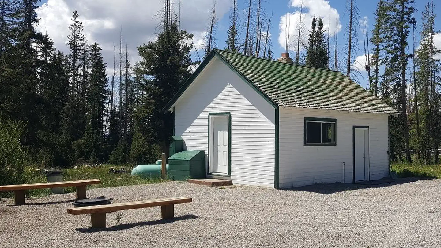
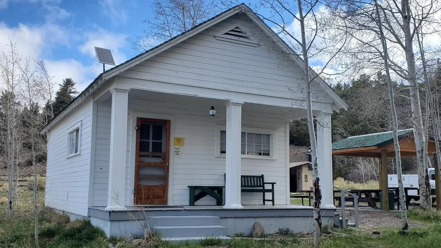
On the National Register nearby
- Loa Tithing OfficeBuilding · Loa · 10.1 mi
Guidebooks for Utah
We earn a small commission if you buy through these links. It does not change what we list.
Titles come from Open Library's catalog, matched by subject heading or by title.
Reference
Questions people ask
How much does it cost to camp at Mallard Bay Overflow Recreation Site?
Please call or email for fees. Please Note: All campgrounds on the Fishlake National Forest are managed by High Country Recreation under the terms and conditions of a concession permit that was issued to them by the Forest Service in 2020. Email: highcountryrec@gmail.com Phone: 435-633-3028
Source: Forest Service
Is Mallard Bay Overflow Recreation Site open right now?
Open as of Oct 26, 2026. Season May.
Source: Forest Service status
What if Mallard Bay Overflow Recreation Site is full?
The nearest public campgrounds are Doctor Creek (0.5 mi), Mackinaw (2.1 mi, partly first-come), and Bowery Creek (3.8 mi).
Source: Campgrounds nearby