Imp Lake Campground
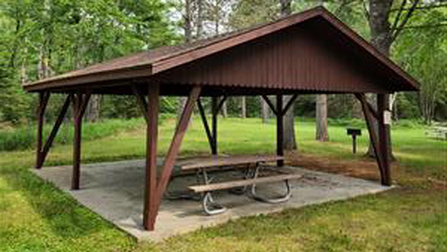
Imp Lake Campground located 6 miles southeast of Watersmeet, MI, provides visitors with a unique camping experience. Lakeside sites offer a quaint view of a small island populated with nesting loons, while off lake sites are perched beside towering hemlocks. Visitors are free to roam the nearby Imp Lake Interpretive Trail, canoe or fish the quiet wake free lake. This campground consisting of two camping loops, with a total of 22 campsites, provides drive-in sites that can accommodate tents, trailers and motor homes. All sites are spaced with natural vegetation for screening. Each site offers a wood table, fire ring, and parking spur.
More like this: first-come in Michigan · tent only in Michigan

Site map
10 campsite locations mapped by OpenStreetMap contributors. The site numbers are theirs and may not match the posts at the campground. Map data © OpenStreetMap contributors, ODbL.
Amenities & rules
| Equipment | Tents |
| Fees | $16 a night |
Individual sites vary. Confirm on Recreation.gov or with the managing office.
Season & status
| Status | Open |
| Season | May 17 to September 30 |
| Forest | Ottawa National Forest |
| Fees | $16 a night |
| Rules | Fees shown are for the summer recreation period when full services are provided. During the early spring and late fall when no services are provided the fees at some areas are not charged. Camping in a developed recreation site is allowed for a period not longer than 14 days, except as otherwise posted. After this time, you must move to another campground or dispersed site for at least 24 hours. |
Weather by month
Getting there
| Coordinates | 46.2178° N, 89.0705° W · Directions ↗ |
Fire nearby
- PrescribedBlueberry Prairie Rx
35 mi from the campground · 366 acres
- WildfireBlack River
44 mi from the campground · 326 acres · 80% contained
Distance is to the reported incident point, not the fire edge. Call the managing office before you drive.
Supplies & services
| Dump station | Dump station ↗ | 12.3 mi |
| Outdoor gear | Eagle Sports ↗ | 22.5 mi |
Locations © OpenStreetMap contributors. Call ahead; hours change seasonally.
Explore
Video
Imp Lake: Michigan National Forest Campground Overview
Trails nearby
- 0.2 miImp Lake Interpretive1.5 mi trail · hiking, horse, bike, snowmobile and 3 more
- 0.4 miNfst-3978-C20.4 mi trail · hiking, horse, bike, motorcycle and 2 more
- 0.4 miNfst-3978-M10.1 mi trail · hiking, horse, bike, motorcycle and 2 more
- 0.5 miNfst-3978-D1.8 mi trail · hiking, horse, bike, motorcycle and 2 more
- 0.5 miNfst-3978-M0.8 mi trail · hiking, horse, bike, motorcycle and 2 more
- 0.6 miNfst-39740.1 mi trail · hiking, horse, bike, motorcycle and 2 more
Trail and trailhead records are the Forest Service's. Distances are straight-line to the nearer trail end. Trail conditions are not tracked here.
Public land it sits in
This campground sits inside Ottawa National Forest.
- inOttawa National Forest ↗National Forest · Forest Service · 1,562,423 acres
- 8 miSylvania Wilderness ↗Wilderness · Forest Service · 15,237 acres
Each unit is published as a centre point and an acreage rather than a boundary, so this section stands it in for a circle of the same area. Whether a campground is inside, and how far it is from one it is outside, are both approximate.
Other campgrounds nearby



On the National Register nearby
- Rice BaySite · Watersmeet Township · 4.9 mi
- Forest Route 157–Tamarack River BridgeStructure · Stambaugh Township · 4.9 mi
- Van Platen-Fox Lumber Camp Historic ComplexHistoric district · Stambaugh · 9.1 mi
Guidebooks for Michigan
We earn a small commission if you buy through these links. It does not change what we list.
Titles come from Open Library's catalog, matched by subject heading or by title.
Reference
Questions people ask
How much does it cost to camp at Imp Lake Campground?
$16 a night
Source: Forest Service
Is Imp Lake Campground open right now?
Open as of Oct 26, 2026. Season May 17 to September 30.
Source: Forest Service status
How many sites does Imp Lake Campground have?
22 sites.
Source: Forest Service
Can I bring an RV to Imp Lake Campground?
Imp Lake Campground is listed for tents only.
Source: Forest Service
What if Imp Lake Campground is full?
The nearest public campgrounds are Marion Lake Group Site (3.6 mi), Lac Vieux Desert Campground (6.9 mi), and Golden Lake Campground (9.5 mi, first-come).
Source: Campgrounds nearby