Bucks Lake Recreation Area
Bucks Lake is located on Oroville-Bucks Lake Road, 17 miles southwest of Quincy or 32 miles northeast of Oroville. Bucks Lake is a high mountain lake surrounded by the Bucks Lake Wilderness on one side and recreation residences/resorts on the other side. The area offers year-round recreation opportunities, making it a popular destination for outdoor enthusiasts. Showers are available nearby at Sandy Point Day Use / Boat Launch.
More like this: first-come in California · tent only in California

Amenities & rules
| Equipment | Tents |
Individual sites vary. Confirm on Recreation.gov or with the managing office.
Season & status
| Status | Open |
| Forest | Plumas National Forest |
Weather by month
Getting there
| Coordinates | 39.8910° N, 121.1850° W · Directions ↗ |
Fire nearby
- PrescribedPnf Rx
13 mi from the campground
- PrescribedPnf North Quincy Wcsl Rx
15 mi from the campground
- PrescribedLoafer Creek Dwr Vmp Rx
28 mi from the campground · 68 acres
Distance is to the reported incident point, not the fire edge. Call the managing office before you drive.
Supplies & services
| Outdoor gear | REI ↗ | 35 mi |
| RV sales & service | Mike Friend RVs ↗ | 37.3 mi |
Locations © OpenStreetMap contributors. Call ahead; hours change seasonally.
Explore
Video
Lower Bucks Lake - Plumas National Forest, CA
Trails nearby
- 0.9 miRight Hand Branch Mill Creek ↗4.8 mi trail
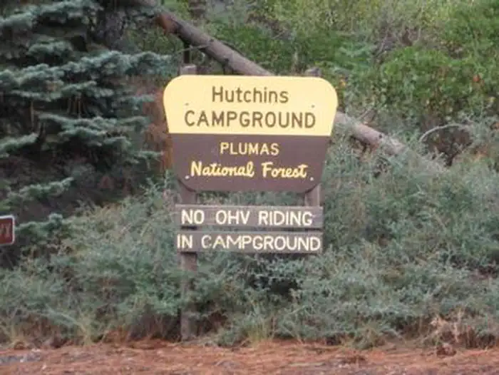
- 1.4 miHutchins Campground0.2 mi trail
- 1.9 miMill Creek ↗9 mi trail
- 2.3 miNorth Haskins1.5 mi trail
- 3.4 miBucks Creek Loop4.3 mi trail
- 3.8 miGranite Gap0.9 mi trail
Trail and trailhead records are the Forest Service's. Distances are straight-line to the nearer trail end. Trail conditions are not tracked here.
Public land it sits in
This campground sits inside Plumas National Forest.
- inPlumas National Forest ↗National Forest · Forest Service · 1,431,953 acres
- 1.2 miBucks Lake Wilderness ↗Wilderness · Forest Service · 23,578 acres
- 10.4 miLassen National Forest ↗National Forest · Forest Service · 1,488,712 acres
Each unit is published as a centre point and an acreage rather than a boundary, so this section stands it in for a circle of the same area. Whether a campground is inside, and how far it is from one it is outside, are both approximate.
Other campgrounds nearby


Guidebooks for California
We earn a small commission if you buy through these links. It does not change what we list.
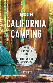
Titles come from Open Library's catalog, matched by subject heading or by title.
Reference
Questions people ask
Is Bucks Lake Recreation Area open right now?
Open as of Oct 26, 2026.
Source: Forest Service status
Can I bring an RV to Bucks Lake Recreation Area?
Bucks Lake Recreation Area is listed for tents only.
Source: Forest Service
What if Bucks Lake Recreation Area is full?
The nearest public campgrounds are Hutchins (0.9 mi), Sundew Campground (1.1 mi), and Mill Creek Campground (Plumas) (1.6 mi).
Source: Campgrounds nearby