River Ranch - Hacienda Campground
Shaded area near confluence of Basin Creek and the North Fork Tuolumne River. Campground is part public, part private. Call River Ranch Campgrounds for availability and reservations at (209) 490-2267.
More like this: reservable in California · tent only in California

Amenities & rules
| Equipment | Tents |
| Fees | $40.00 per night and includes 6 guests and 2 vehicles. $5.00 for each additional vehicle. Day use $5 per vehicle grants access from 10am to 8pm for those who would like to access the National Forest Service lands via River Ranch Campgrounds entrance. |
Individual sites vary. Confirm on Recreation.gov or with the managing office.
Season & status
| Status | Closed for the season. Forest Service sites close for the season; check the official page for the reopening date. |
| Season | May 1 |
| Forest | Stanislaus National Forest |
| Booking | Reservations are available beginning January 1 by calling (209) 490-2267. |
| Fees | $40.00 per night and includes 6 guests and 2 vehicles. $5.00 for each additional vehicle. Day use $5 per vehicle grants access from 10am to 8pm for those who would like to access the National Forest Service lands via River Ranch Campgrounds entrance. |
| Rules | No Garbage Service; Pack it in and pack it out. Thank you! |
Weather by month
Getting there
| Coordinates | 37.9933° N, 120.1815° W · Directions ↗ |
Fire nearby
- PrescribedBig Trees State Park Broadcast Burn Rx
21 mi from the campground · 170 acres
Distance is to the reported incident point, not the fire edge. Call the managing office before you drive.
Supplies & services
| Dump station | Dump station ↗ | 11.6 mi |
| Outdoor gear | Sierra Nevada Adventure Co. ↗ | 18.4 mi |
| RV sales & service | Denis RV Center ↗ | 50 mi |
Locations © OpenStreetMap contributors. Call ahead; hours change seasonally.
Explore
Worth a stop
- 1.5 miRiverside Day Use ↗Day use
- 7.1 mi
Trails nearby
- 0.6 miWest Side R/R Grade ↗5.4 mi trail · hiking, horse, bike
- 1.7 miTwain Harte OHV1.1 mi trail · hiking, horse, bike, motorcycle and 2 more
- 3.1 miMt. Lewis1.3 mi trail · hiking, horse, bike, motorcycle and 3 more
- 3.3 miRalph Ranch1.3 mi trail · hiking, horse, bike
- 4.2 miWillow0.3 mi trail · hiking, horse, bike
- 4.2 miHunter Creek0.8 mi trail · hiking, horse, bike
Trail and trailhead records are the Forest Service's. Distances are straight-line to the nearer trail end. Trail conditions are not tracked here.
Public land it sits in
This campground sits inside Stanislaus National Forest.
- inStanislaus National Forest ↗National Forest · Forest Service · 1,090,354 acres
Each unit is published as a centre point and an acreage rather than a boundary, so this section stands it in for a circle of the same area. Whether a campground is inside, and how far it is from one it is outside, are both approximate.
Other campgrounds nearby



Historic landmarks nearby

Guidebooks for California
We earn a small commission if you buy through these links. It does not change what we list.
Titles come from Open Library's catalog, matched by subject heading or by title.
Reference
Questions people ask
Do I need a reservation at River Ranch - Hacienda Campground?
Sites at River Ranch - Hacienda Campground take reservations. Reservations are available beginning January 1 by calling (209) 490-2267. Any walk-up sites are listed on the booking page.
Source: Forest Service
How much does it cost to camp at River Ranch - Hacienda Campground?
$40.00 per night and includes 6 guests and 2 vehicles. $5.00 for each additional vehicle. Day use $5 per vehicle grants access from 10am to 8pm for those who would like to access the National Forest Service lands via River Ranch Campgrounds entrance.
Source: Forest Service
Is River Ranch - Hacienda Campground open right now?
Closed for the season as of Oct 26, 2026. Season May 1.
Source: Forest Service status
Can I bring an RV to River Ranch - Hacienda Campground?
River Ranch - Hacienda Campground is listed for tents only.
Source: Forest Service
What if River Ranch - Hacienda Campground is full?
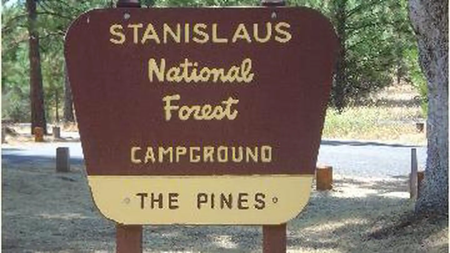
The nearest public campgrounds are Hull Creek Campground (10.3 mi, first-come), South Fork Campground (12.9 mi, first-come), and Pines Stanislaus (13 mi).
Source: Campgrounds nearby