McCormack Lake Recreation Area
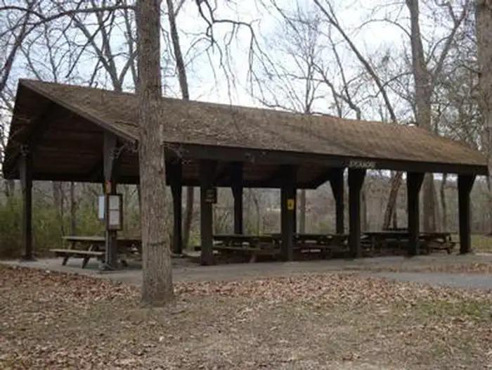
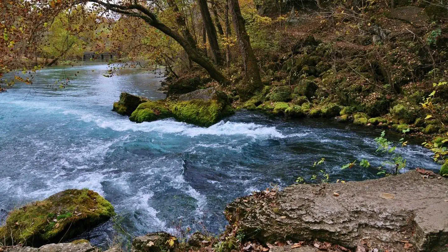
McCormack Lake Recreation Area is surrounded by maple trees. Hiking - There is hiking at McCormack Lake Recreation Area. This is a trailhead in McCormack Lake Day Use Area for the 1.07-mileMcCormack Lake spur trail, which connects to the Eleven Point River Section of the Ozark Trail and the Lazy C Trail. Fishing and Boating - The 15-acre lake is stocked annually with panfish and bass being the catch of the day. During the warm months the vegetation in the lake can make fishing and boating difficult. The lake is a non-motorized area; boat motors are not allowed. An electric trolling motor is permitted. There is ample parking for picnickers and fishermen.
More like this: first-come in Missouri · free in Missouri · tent only in Missouri · accessible sites in Missouri

Amenities & rules
| Equipment | Tents |
| Fees | There are no fees. |
| Accessibility | Lantern posts and picnic tables are accessible |
Individual sites vary. Confirm on Recreation.gov or with the managing office.
Season & status
| Status | Open |
| Season | January to December |
| Forest | Mark Twain National Forest |
| Fees | There are no fees. |
| Rules | Day Use Boats are allowed, only electric motors are permitted on the lake. No motorized vehicles permitted on trail system. No motorized vehicles beyond posted signs. Campground Fireworks are prohibited. Campsite parking allows for two vehicles per site. Park only in designated parking areas. No more than 8 people are permitted at single sites. Dogs must be on a 6 foot leash in the campground. |
Weather by month
Getting there
| Coordinates | 36.8217° N, 91.3523° W · Directions ↗ |
Supplies & services
| Outdoor gear | Alley Spring Store ↗ | 22.8 mi |
| Dump station | Dump station ↗ | 23 mi |
Locations © OpenStreetMap contributors. Call ahead; hours change seasonally.
Explore
Trails nearby
- 0.1 miOzark Trail - McCormack Lake ↗1 mi trail · hiking, horse · national_recreation_or_other
- 0.3 miLazy C Trail1.6 mi trail · hiking, horse, bike
- 1.5 miGreer Rec Area Spur1.1 mi trail · hiking, horse, bike
- 2.1 miOzark Trail Mo-19 Spur0.07 mi trail · hiking, horse, bike
- 2.4 miGreer Spring Trail0.9 mi trail · hiking, bike
- 2.5 miGreer Mill Trail1 mi trail · hiking
Trailheads within three miles
- 0.1 miMcCormack Lake Day Use Area ↗Mark Twain National Forest · Season January to December
- 2.9 miGreer Spring ↗Mark Twain National Forest · Season January to December
Trail and trailhead records are the Forest Service's. Distances are straight-line to the nearer trail end. Trail conditions are not tracked here.
Public land it sits in
This campground sits inside Mark Twain National Forest.
- inMark Twain National Forest ↗National Forest · Forest Service · 3,069,958 acres
- 8.7 miIrish Wilderness ↗Wilderness · Forest Service · 16,427 acres
Each unit is published as a centre point and an acreage rather than a boundary, so this section stands it in for a circle of the same area. Whether a campground is inside, and how far it is from one it is outside, are both approximate.
Other campgrounds nearby

On the National Register nearby
- Greer MillBuilding · Alton · 2.5 mi
- Winona Ranger Station Historic DistrictHistoric district · Winona · 13.4 mi
Guidebooks for Missouri
We earn a small commission if you buy through these links. It does not change what we list.
Titles come from Open Library's catalog, matched by subject heading or by title.
Reference
Questions people ask
Do I need a reservation at McCormack Lake Recreation Area?
No. McCormack Lake Recreation Area is first-come, first-served. Sites are taken on arrival and paid at the fee station.
Source: Forest Service
How much does it cost to camp at McCormack Lake Recreation Area?
Nothing. McCormack Lake Recreation Area is listed as free. There are no fees.
Source: Forest Service
Is McCormack Lake Recreation Area open right now?
Open as of Oct 26, 2026. Season January to December.
Source: Forest Service status
Can I bring an RV to McCormack Lake Recreation Area?
McCormack Lake Recreation Area is listed for tents only.
Source: Forest Service
Are there accessible sites at McCormack Lake Recreation Area?
Lantern posts and picnic tables are accessible.
Source: Forest Service
What if McCormack Lake Recreation Area is full?
The nearest public campgrounds are Greer Crossing Recreation Area (2.2 mi, first-come), Fourche Lake Recreation Area (20.7 mi, first-come), and Watercress (22.2 mi, partly first-come).
Source: Campgrounds nearby