Dry Fork Recreation Area
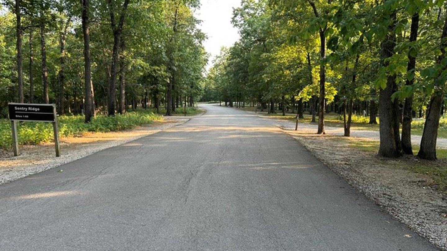
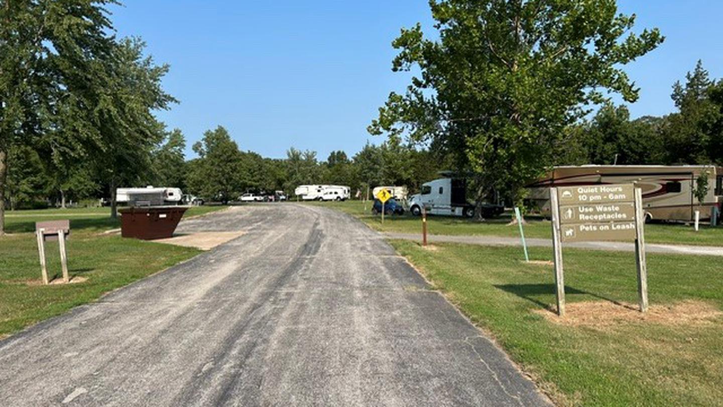
Dry Fork Recreation Area, a campground and picnic area located at the equestrian trailhead of the 36-mile Cedar Creek Trail. This area, located in central Missouri near Fulton serves recreationists with or without horses. This campground is situated in a quiet mostly oak/cedar forest. It is comprised of 8 single primitive campsites that can accommodate RVs up to 30 feet in length, each with table, fire ring, and lantern post. Other amenities include drinking water, vault toilet s, and hitching rails. There is a picnic area across the road with picnic tables that can accommodate small groups.
More like this: first-come in Missouri · tent only in Missouri

Amenities & rules
| Equipment | Tents |
| Fees | Camping is $15/Night |
Individual sites vary. Confirm on Recreation.gov or with the managing office.
Season & status
| Status | Temporarily closed |
| Forest | Mark Twain National Forest |
| Fees | Camping is $15/Night |
| Rules | NO horses allowed on Pine Ridge Section of Cedar Creek Trail; alternate route available. Fireworks are prohibited. Campsite parking allows for two vehicles per site. Park only in designated parking areas. No more than 8 people are permitted at single sites (16 for double sites). Dogs must be on a 6 foot leash in the campground. Only collect dead and downed wood for campfires. |
Weather by month
Getting there
| Coordinates | 38.7842° N, 92.1255° W · Directions ↗ |
Supplies & services
| RV sales & service | Gander RV of Columbia ↗ | 12.8 mi |
| Outdoor gear | Bass Pro Shops ↗ | 15.7 mi |
| Dump station | Dump station ↗ | 31.8 mi |
Locations © OpenStreetMap contributors. Call ahead; hours change seasonally.
Explore
Video
Truebalsamhogs visits Dry Fork Recreation Area in Missouri
Trails nearby
- 1.3 miCedar Creek - South ↗18.9 mi trail · hiking, horse, bike
- 1.7 miCedar Creek - Pine Ridge0.9 mi trail · hiking, bike
- 2.1 miHighway y Spur0.4 mi trail · hiking, horse, bike
- 2.8 miCedar Creek Trail - Smith Cree ↗6 mi trail · hiking, horse, bike
- 3.7 miJohnson Cemetery Spur0.1 mi trail · hiking, horse, bike
- 4.3 miSouth Millsite Spur0.3 mi trail · hiking, horse, bike
Trailheads within three miles
- 1 miParis Chapel Trailhead ↗Mark Twain National Forest · Season January to December
- 2.2 miBoydsville North Trailhead ↗Mark Twain National Forest · Season January to December
- 2.8 miSmith Creek Trailhead ↗Mark Twain National Forest
Trail and trailhead records are the Forest Service's. Distances are straight-line to the nearer trail end. Trail conditions are not tracked here.
Other campgrounds nearby

Historic landmarks nearby


Guidebooks for Missouri
We earn a small commission if you buy through these links. It does not change what we list.
Titles come from Open Library's catalog, matched by subject heading or by title.
Reference
Questions people ask
How much does it cost to camp at Dry Fork Recreation Area?
Camping is $15/Night
Source: Forest Service
Is Dry Fork Recreation Area open right now?
Temporarily closed as of Oct 26, 2026.
Source: Forest Service status
Can I bring an RV to Dry Fork Recreation Area?
Dry Fork Recreation Area is listed for tents only.
Source: Forest Service
What if Dry Fork Recreation Area is full?
The nearest public campgrounds are Pine Ridge Recreation Area (2 mi, first-come), Indian Creek (56.2 mi), and Ray Behrens (56.3 mi).
Source: Campgrounds nearby