Sunny Flat Campground
Campsites are clustered around a grassy meadow in this relatively open streamside camp. All sites are shaded, some more than others, and all are reasonably close to Cave Creek. Birdwatching is good right in camp (as it is in all Cave Creek camps) with elegant trogons and many other interesting species sighted regularly among the sycamores and oaks that border the creek. The open character of the area makes for exciting views of Cave Creek Canyon’s famous rock formations which tower over the area.
More like this: first-come in Arizona · tent only in Arizona · accessible sites in Arizona

Site map
13 campsite locations mapped by OpenStreetMap contributors. The site numbers are theirs and may not match the posts at the campground. Map data © OpenStreetMap contributors, ODbL.
Amenities & rules
| Equipment | Tents |
| Fees | Campsites: Single site: $20. With Golden Age/Access or Interagency Senior/Access pass $10. Day Use: Day use: $8 per vehicle. Weekly: $10 per vehicle. Buy a pass online, or purchase a pass on-site with cash or check. |
| Accessibility | Accessible to persons with disabilities |
Individual sites vary. Confirm on Recreation.gov or with the managing office.
Season & status
| Status | Open |
| Forest | Coronado National Forest |
| Fees | Campsites: Single site: $20. With Golden Age/Access or Interagency Senior/Access pass $10. Day Use: Day use: $8 per vehicle. Weekly: $10 per vehicle. Buy a pass online, or purchase a pass on-site with cash or check. |
| Rules | No hook-ups. Trailers limited to 28 feet. Pack and saddle stock are not permitted in campground. Limit 2 vehicles and 10 persons per site. 14 day stay limit. |
Weather by month
Getting there
| Coordinates | 31.8848° N, 109.1754° W · Directions ↗ |
Supplies & services
| Dump station | Dump station ↗ | 13.7 mi |
Locations © OpenStreetMap contributors. Call ahead; hours change seasonally.
Explore
Trails nearby
- under 0.1 miSunny Flat1.2 mi trail · hiking, horse
- 1.1 miSilver Peak ↗4.6 mi trail · hiking, horse
- 1.3 miSouth Fork ↗6.8 mi trail · hiking, horse
- 1.8 miSnowshed ↗7.9 mi trail · hiking, horse
- 2.3 miCrystal Cave0.3 mi trail · hiking, horse
- 2.8 miBurro ↗6.6 mi trail · hiking, horse, bike
Trailheads within three miles
- 1.3 miSouth Fork Trailhead ↗Coronado National Forest
Trail and trailhead records are the Forest Service's. Distances are straight-line to the nearer trail end. Trail conditions are not tracked here.
Public land it sits in
Chiricahua Wilderness begins about 0.3 miles away, and it is the closest of these.
- 0.3 miChiricahua Wilderness ↗Wilderness · Forest Service · 87,182 acres
- 10.8 miChiricahua National Monument Wilderness ↗Wilderness · National Park Service · 10,290 acres
Each unit is published as a centre point and an acreage rather than a boundary, so this section stands it in for a circle of the same area. Whether a campground is inside, and how far it is from one it is outside, are both approximate.
Other campgrounds nearby


Cabin and lookout rentals nearby
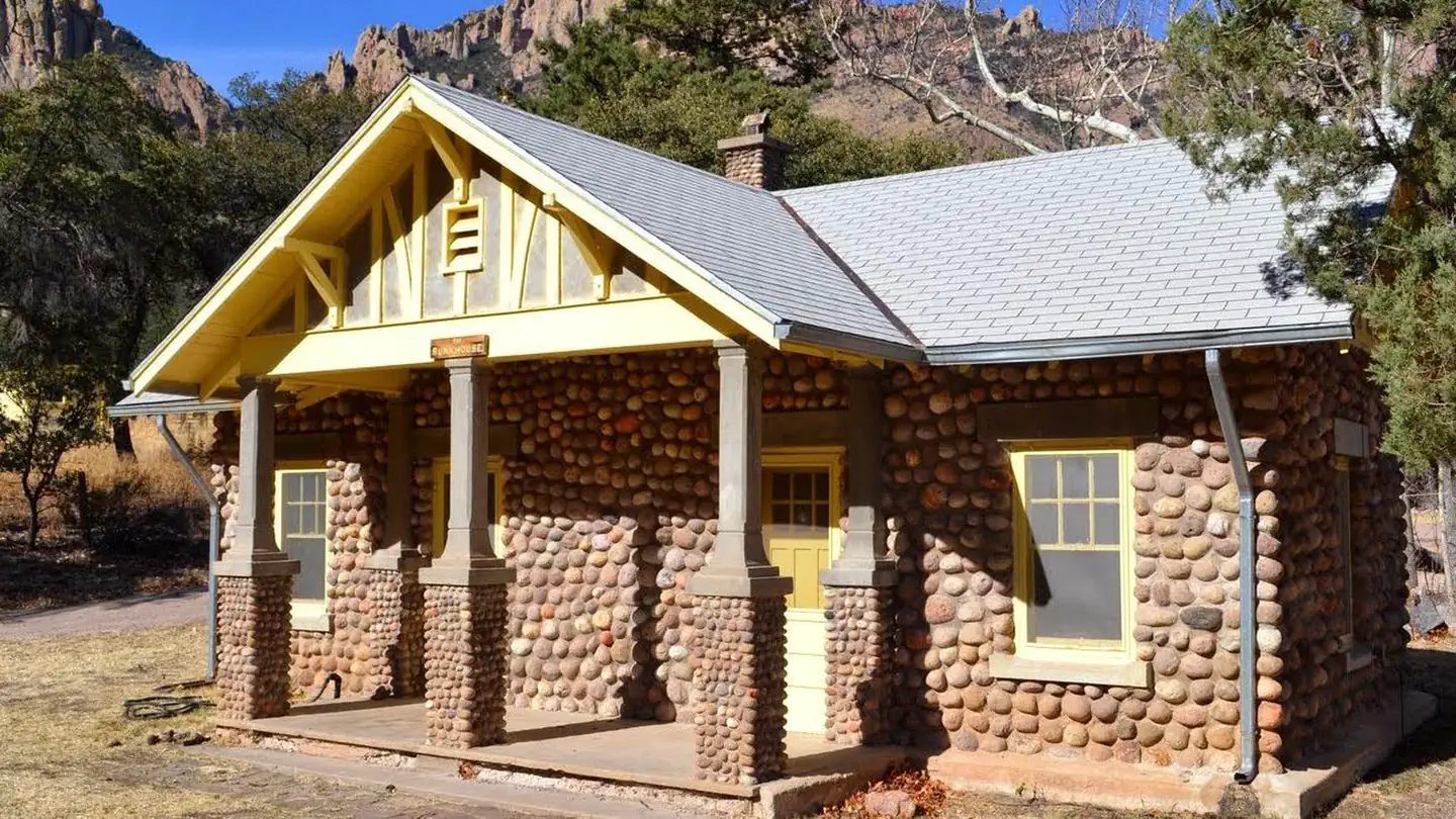
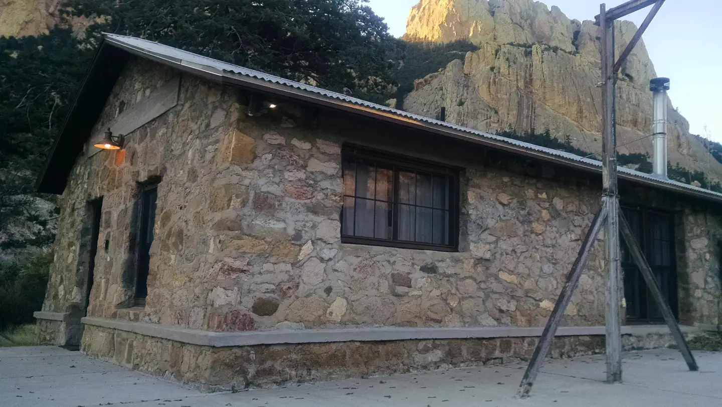
Historic landmarks nearby

Guidebooks for Arizona
We earn a small commission if you buy through these links. It does not change what we list.
- Best Backpacking Trips in Utah, Arizona, and New MexicoMike White and Douglas Lorain, 2016Find at Bookshop.org
Titles come from Open Library's catalog, matched by subject heading or by title.
Reference
Questions people ask
How much does it cost to camp at Sunny Flat Campground?
Campsites: Single site: $20. With Golden Age/Access or Interagency Senior/Access pass $10. Day Use: Day use: $8 per vehicle.
Source: Forest Service
Is Sunny Flat Campground open right now?
Open as of Oct 26, 2026.
Source: Forest Service status
How many sites does Sunny Flat Campground have?
130 sites.
Source: Forest Service
Can I bring an RV to Sunny Flat Campground?
Sunny Flat Campground is listed for tents only.
Source: Forest Service
Are there accessible sites at Sunny Flat Campground?
Accessible to persons with disabilities.
Source: Forest Service
What if Sunny Flat Campground is full?
The nearest public campgrounds are Stewart Campground (0.5 mi, first-come), Idlewilde Campground (0.9 mi, first-come), and Herb Martyr Campground (3.6 mi, first-come).
Source: Campgrounds nearby