Kiwanis Campground
This is a one-unit campsite along Mann Creek. It is next to the road so it can be noisy and dusty. There is no potable water available at the site, so come prepared with your own. Typical season of use is mid-May through late September or early October.
More like this: first-come in Idaho · free in Idaho · tent only in Idaho

Amenities & rules
| Equipment | Tents |
| Fees | No fee charged; first-come, first-served site. |
Individual sites vary. Confirm on Recreation.gov or with the managing office.
Season & status
| Forest | Payette National Forest |
| Fees | No fee charged; first-come, first-served site. |
Weather by month
Getting there
| Coordinates | 44.5124° N, 116.9532° W · Directions ↗ |
Fire nearby
- PrescribedMill Creek Council Mtn Rx
38 mi from the campground · 2,070 acres
- PrescribedCold Rx
40 mi from the campground · 1,094 acres
- PrescribedRx High Valley
43 mi from the campground
- PrescribedRx Fawn Tussock
44 mi from the campground · 86 acres
Distance is to the reported incident point, not the fire edge. Call the managing office before you drive.
Supplies & services
| Dump station | Dump station ↗ | 19.5 mi |
Locations © OpenStreetMap contributors. Call ahead; hours change seasonally.
Explore
Video
RV Camping at Camp Kiwanis Campground on Pat Mayse Lake in Paris, Texas
Trails nearby
- 0.5 miStacey Creek2.6 mi trail · hiking, horse, bike
- 1.1 miPorcupine Creek ↗5.5 mi trail · hiking, horse, bike
- 3.5 miSaddle Trail1.3 mi trail · hiking, horse, bike, motorcycle and 2 more
- 3.8 miHitt Creek2.8 mi trail · hiking, horse, bike, motorcycle and 2 more
- 4 miSleeping Spring0.6 mi trail · hiking, horse, bike
- 4.2 miIron Mountain2.9 mi trail · hiking, horse, bike, motorcycle and 3 more
Trail and trailhead records are the Forest Service's. Distances are straight-line to the nearer trail end. Trail conditions are not tracked here.
Other campgrounds nearby
Cabin and lookout rentals nearby
On the National Register nearby
- Edwards–Gillette BarnBuilding · Cambridge · 13.6 mi
- Wilson HouseBuilding · Cambridge · 14.1 mi
- Jewell BuildingBuilding · Cambridge · 14.2 mi
Guidebooks for Idaho
We earn a small commission if you buy through these links. It does not change what we list.
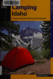
Titles come from Open Library's catalog, matched by subject heading or by title.
Reference
Questions people ask
How much does it cost to camp at Kiwanis Campground?
Nothing. Kiwanis Campground is listed as free. No fee charged; first-come, first-served site.
Source: Forest Service
Can I bring an RV to Kiwanis Campground?
Kiwanis Campground is listed for tents only.
Source: Forest Service
What if Kiwanis Campground is full?
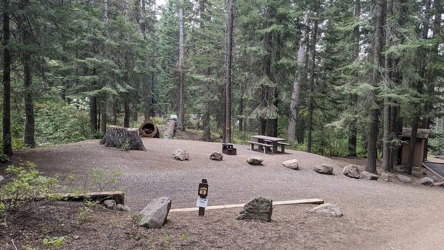
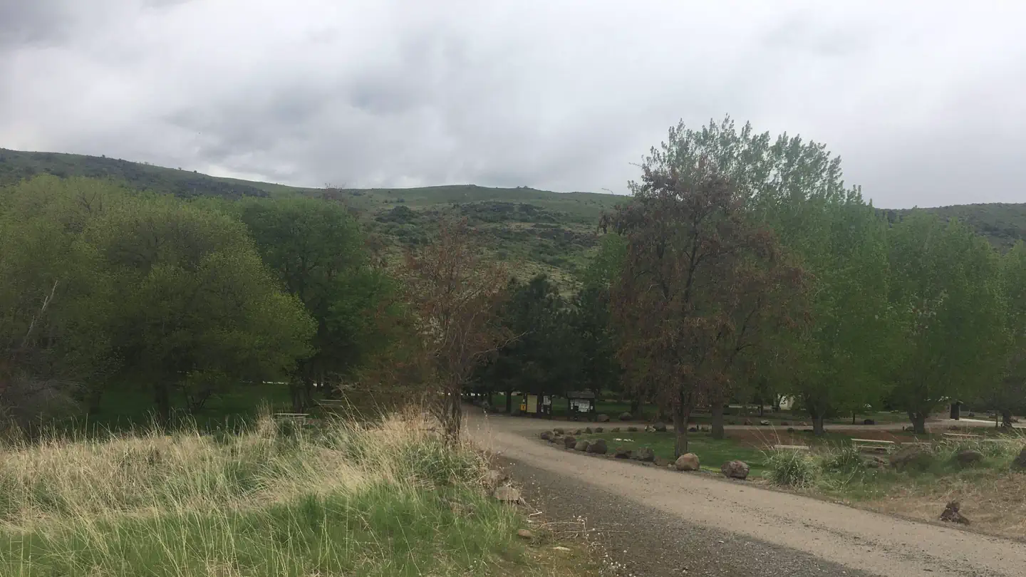
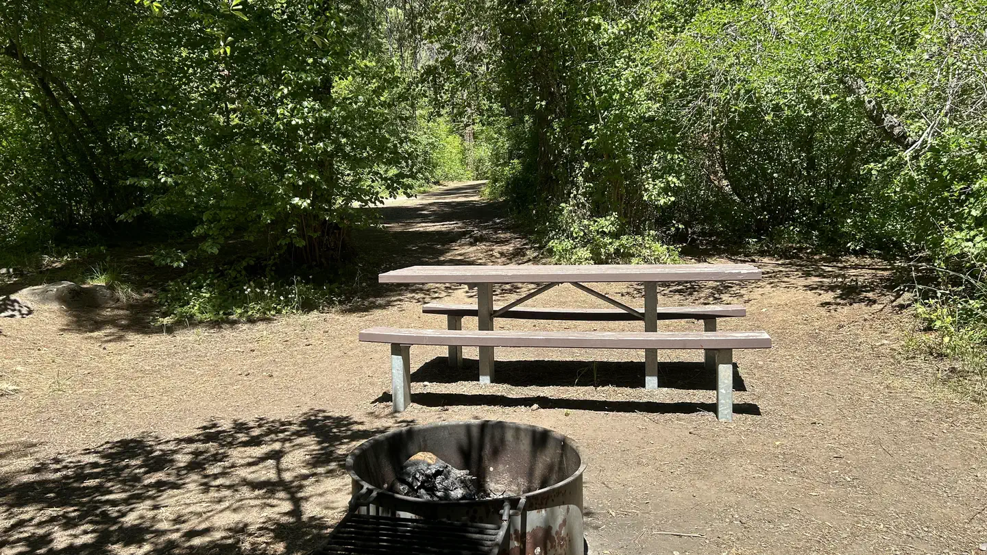
The nearest public campgrounds are Justrite Campground (2 mi, first-come), Spring Creek Campground (4 mi), and Mann Creek Campground (7.2 mi).
Source: Campgrounds nearby