Big Bar Camping Area
This is a large dispersed campground with no formal parking or camping units located along the Snake River in Hells Canyon. Used by both tent campers and RVs, the area offers a place to camp along the Snake River. Few amenities exist, there is one outhouse and informational sign at the pull in to the parking area. Allison Creek Trailhead is across the Hells Canyon Road with access to Allison Creek Trail (#514).
More like this: first-come in Idaho · free in Idaho · tent only in Idaho

Amenities & rules
| Equipment | Tents |
| Fees | no fee |
Individual sites vary. Confirm on Recreation.gov or with the managing office.
Season & status
| Status | Open |
| Forest | Payette National Forest |
| Fees | no fee |
Weather by month
Getting there
| Coordinates | 45.1278° N, 116.7386° W · Directions ↗ |
Fire nearby
- PrescribedCold Rx
18 mi from the campground · 1,094 acres
- PrescribedBrush Rx
18 mi from the campground · 645 acres
- PrescribedMill Creek Council Mtn Rx
29 mi from the campground · 2,070 acres
- PrescribedGoose Rx
30 mi from the campground · 529 acres
Distance is to the reported incident point, not the fire edge. Call the managing office before you drive.
Supplies & services
| Dump station | Dump station ↗ | 6.9 mi |
| Outdoor gear | Joseph Fly Shope and Lamb Trading ↗ | 28.6 mi |
Locations © OpenStreetMap contributors. Call ahead; hours change seasonally.
Explore
Video
Camping Heart Bar Campground
Worth a stop
- 7.3 miPo Saddle Trailhead ↗Trailhead
- 13.5 miIndian Crossing Trailhead ↗Trailhead
Trails nearby
- 0.1 miAllison Creek2 mi trail · hiking, horse, bike
- 0.7 miEckels Creek2.2 mi trail · hiking, horse, bike
- 1.1 miHells Canyon Reservoir Viewpt0.7 mi trail · hiking, horse, bike
- 1.6 miKinney Creek ↗6 mi trail · hiking, horse, bike, motorcycle and 1 more
- 1.7 miEckels Creek/Kinney Creek ↗6.6 mi trail · hiking, horse, bike
- 1.9 miLynes Ridge2 mi trail · hiking, horse, bike, motorcycle and 2 more
Trail and trailhead records are the Forest Service's. Distances are straight-line to the nearer trail end. Trail conditions are not tracked here.
Public land it sits in
Wallowa-Whitman National Forest begins about 1 mile away, and it is the closest of these.
- 1 miWallowa-Whitman National Forest ↗National Forest · Forest Service · 2,525,292 acres
- 11.1 miHells Canyon Wilderness ↗Wilderness · BLM/FS · 217,747 acres
- 11.7 miPayette National Forest ↗National Forest · Forest Service · 2,407,306 acres
Each unit is published as a centre point and an acreage rather than a boundary, so this section stands it in for a circle of the same area. Whether a campground is inside, and how far it is from one it is outside, are both approximate.
Other campgrounds nearby
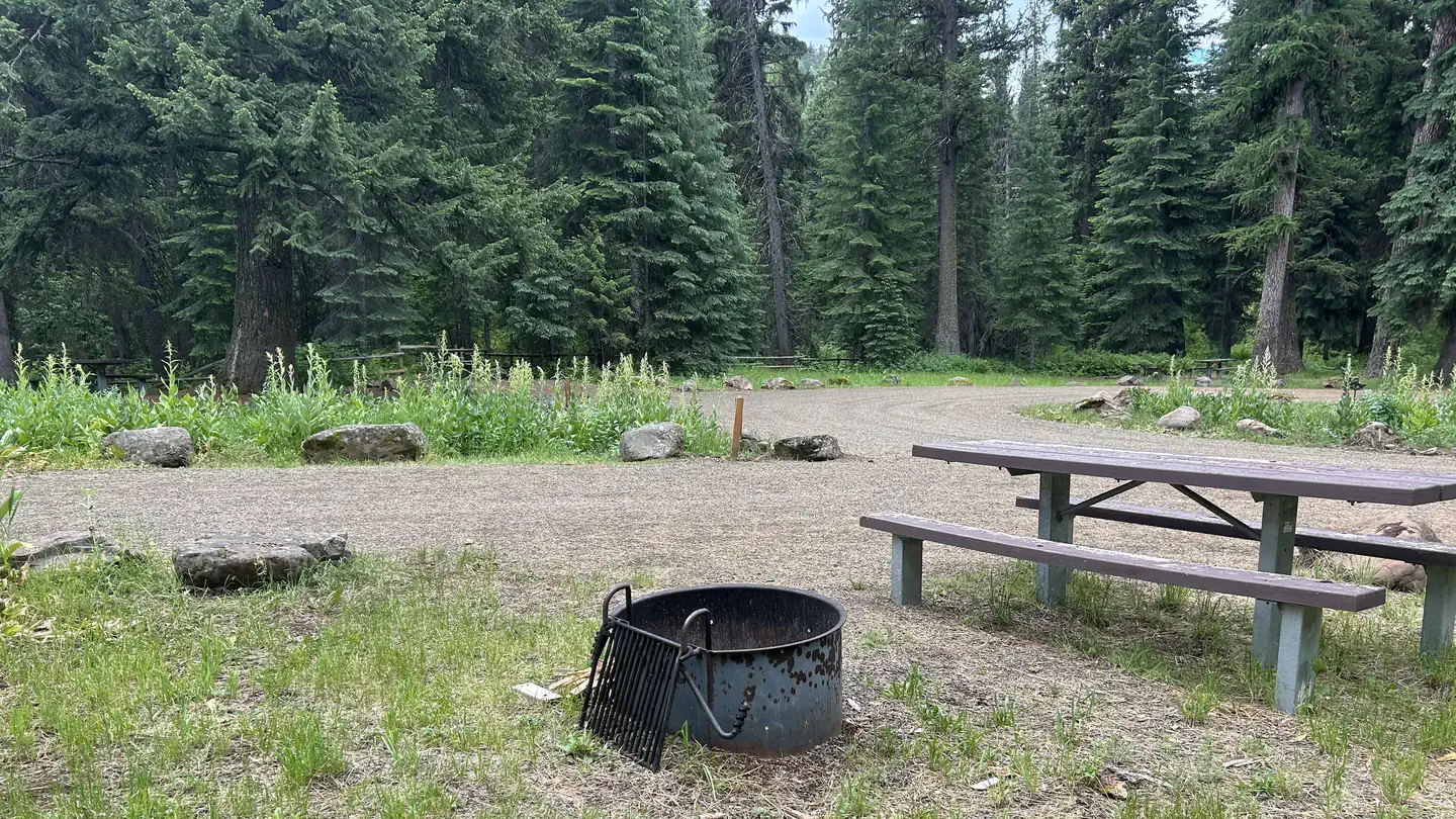

Cabin and lookout rentals nearby
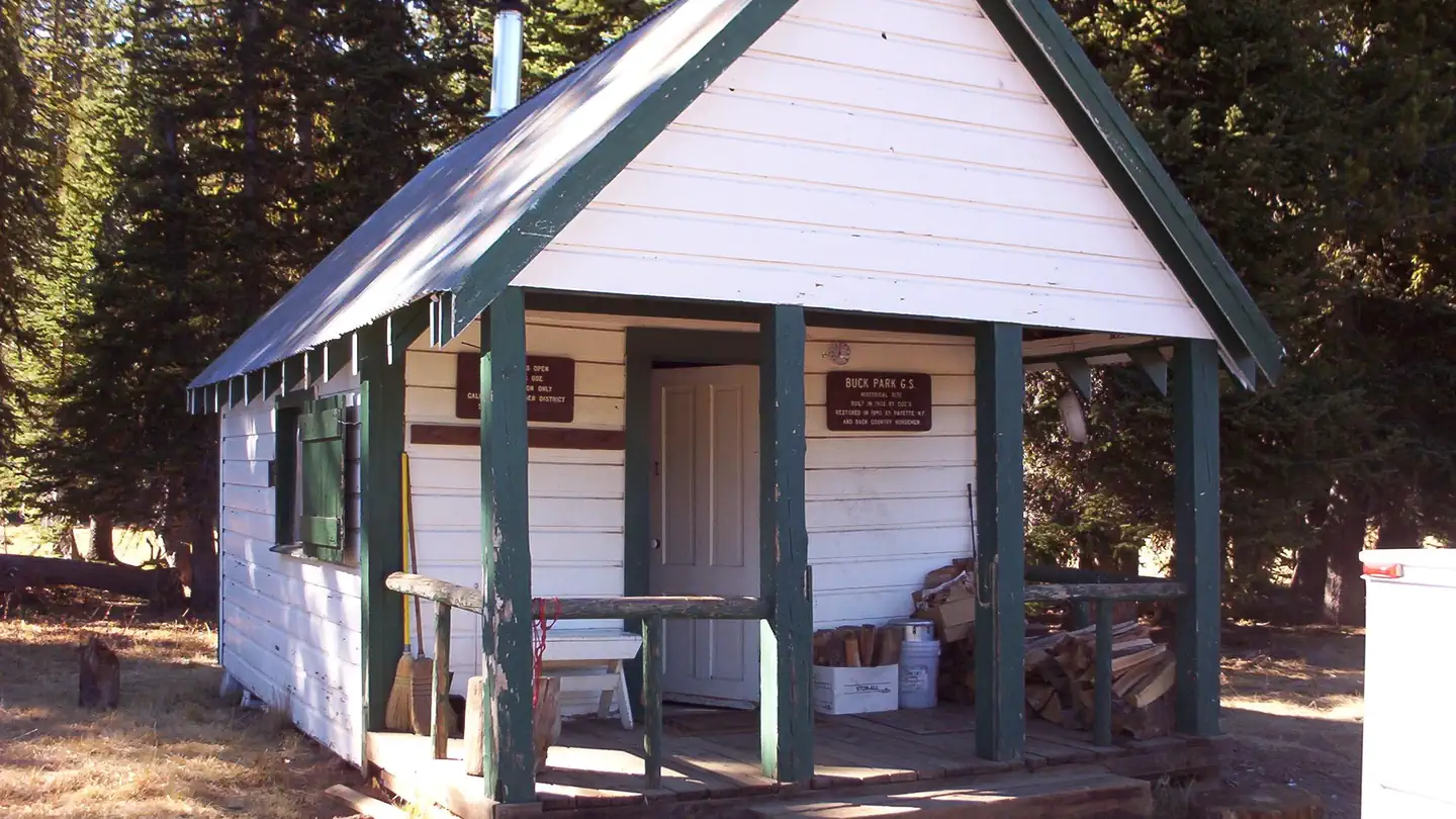
On the National Register nearby
- A. O. Huntley BarnBuilding · Cuprum · 4.1 mi
- Lick Creek Guard StationBuilding · Enterprise · 14.5 mi
Guidebooks for Idaho
We earn a small commission if you buy through these links. It does not change what we list.
Titles come from Open Library's catalog, matched by subject heading or by title.
Reference
Questions people ask
How much does it cost to camp at Big Bar Camping Area?
Nothing. Big Bar Camping Area is listed as free. no fee
Source: Forest Service
Is Big Bar Camping Area open right now?
Open as of Oct 26, 2026.
Source: Forest Service status
Can I bring an RV to Big Bar Camping Area?
Big Bar Camping Area is listed for tents only.
Source: Forest Service
What if Big Bar Camping Area is full?
The nearest public campgrounds are Huckleberry (6.7 mi, first-come), Ollokot Campground (6.9 mi), and Blackhorse Campground (6.9 mi).
Source: Campgrounds nearby