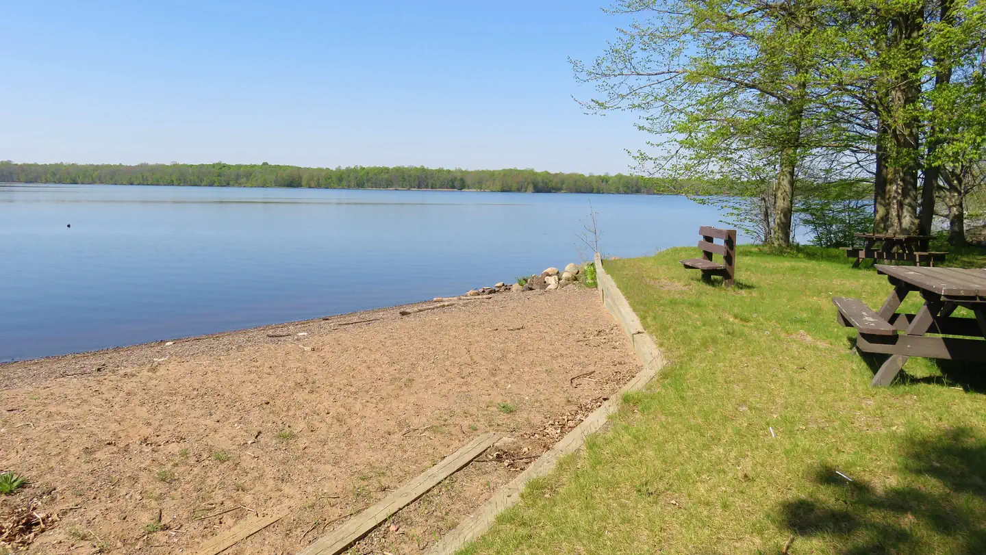
Kathryn Lake Recreation Area
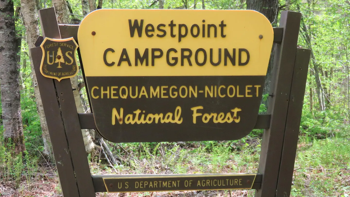
Chippewa Campground is a nearby Forest Service campground that is near Kathryn Lake.
More like this: first-come in Wisconsin · tent only in Wisconsin

Amenities & rules
| Equipment | Tents |
Individual sites vary. Confirm on Recreation.gov or with the managing office.
Season & status
| Forest | Chequamegon-Nicolet NF |
| Rules | Campsite Capacity Maximum of 8 people and 4 vehicles at each camp site. Vehicle capacity limit includes vehicles, wheeled camping units and trailers. Pets and Animals Pets must always be restrained or on a leash while in developed recreation areas. Pets (except guide dogs) are not allowed in swimming areas. |
Weather by month
Getting there
| Coordinates | 45.2003° N, 90.6201° W · Directions ↗ |
Fire nearby
- WildfireTower
31 mi from the campground · 12 acres
- WildfireRitchie
34 mi from the campground · 13 acres
Distance is to the reported incident point, not the fire edge. Call the managing office before you drive.
Supplies & services
| Dump station | Dump station ↗ | 27.8 mi |
| RV sales & service | RV sales & service ↗ | 46.3 mi |
| Outdoor gear | Gander Outdoors ↗ | 49.1 mi |
Locations © OpenStreetMap contributors. Call ahead; hours change seasonally.
No site-by-site records, no fee schedule, no directions or photos in the Recreation.gov record. What is here comes from the agency's own listing. The rest lives there.
Checked nightly. Modules appear as soon as the record fills in.
Explore
Video
Kathryn Abbey Hannah, campground review
Trails nearby
- 1 miPerkinstown Motorized Loop B0.2 mi trail · hiking, horse, bike, motorcycle and 3 more
- 2 miPerkinstown Motorized Loop A ↗4.5 mi trail · hiking, horse, bike, motorcycle and 3 more
- 3.7 miWintersports Road Hwt1.3 mi trail · hiking
- 3.8 miPerkinstown Motorized ↗15.5 mi trail · hiking, horse, bike, motorcycle and 3 more
- 3.9 miYellow River a Hwt1.4 mi trail · hiking
- 4.1 miBayview Watchable Wildlife0.2 mi trail · hiking
Trail and trailhead records are the Forest Service's. Distances are straight-line to the nearer trail end. Trail conditions are not tracked here.
Other campgrounds nearby


On the National Register nearby
- Mondeaux Dam Recreation AreaHistoric district · Westboro · 12.3 mi
- Jump River Town HallBuilding · Jump River · 13.7 mi
- J. W. Benn BuildingBuilding · Medford · 14.1 mi
Guidebooks for Wisconsin
We earn a small commission if you buy through these links. It does not change what we list.
Titles come from Open Library's catalog, matched by subject heading or by title.
Reference
Questions people ask
How many sites does Kathryn Lake Recreation Area have?
8 sites.
Source: Forest Service
Can I bring an RV to Kathryn Lake Recreation Area?
Kathryn Lake Recreation Area is listed for tents only.
Source: Forest Service
What if Kathryn Lake Recreation Area is full?
The nearest public campgrounds are Chippewa (4.4 mi, partly first-come), North Twin Lake Recreation Area (10.2 mi, first-come), and Picnic Point (11.5 mi).
Source: Campgrounds nearby