Wabasso Lake Recreation Area
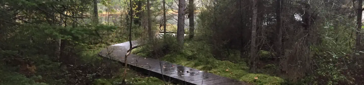
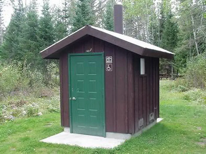
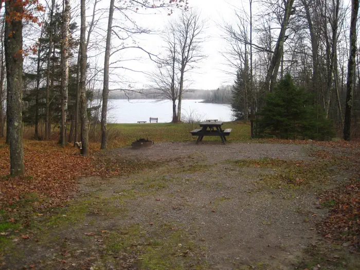
If you are looking to canoe in the glassy waters of Wabasso Lake or enjoy a rustic cozy campground, try the Wabasso Lake Recreation Area off Forest Road 142 west of Lac du Flambeau. The Wabasso Lake Recreation Area on the Medford-Park Falls Ranger District consists of a campground with five walk/canoe-in campsites equipped with fire grills and picnic tables. Drinking water and toilets are located at the boat landing. Wabasso Lake Recreation Area is located about one mile west of the Lac du Flambeau and is perfect for primitive camping. Wabasso Lake is 49-acres and has an excellent panfish population and is great for canoeing and fishing.
More like this: first-come in Wisconsin · tent only in Wisconsin

Site map
5 campsite locations mapped by OpenStreetMap contributors. The site numbers are theirs and may not match the posts at the campground. Map data © OpenStreetMap contributors, ODbL.
Amenities & rules
| Equipment | Tents |
| Fees | Individual campsite fee is $5 per vehicle. The forest also has an annual pass available for $30. |
Individual sites vary. Confirm on Recreation.gov or with the managing office.
Season & status
| Status | Open |
| Season | January 1 to December 31 |
| Forest | Chequamegon-Nicolet NF |
| Booking | There are no reservable sites. |
| Fees | Individual campsite fee is $5 per vehicle. The forest also has an annual pass available for $30. |
| Rules | Campsite Capacity Each site has a maximum of eight people. Pets and Animals Pets must be crated, caged, or on a leash less than 6’ in length while in developed recreation areas. Firewood Closure Order The firewood closure order prohibits possessing, storing, or transporting any firewood that originates more than 25 miles from your campsite. |
Weather by month
Getting there
| Coordinates | 45.9727° N, 90.0003° W · Directions ↗ |
Fire nearby
- WildfireBlack River
31 mi from the campground · 326 acres · 80% contained
- WildfireRitchie
33 mi from the campground · 13 acres
- WildfireRedhouse
35 mi from the campground · 22 acres
- WildfireTower
42 mi from the campground · 12 acres
Distance is to the reported incident point, not the fire edge. Call the managing office before you drive.
Supplies & services
| Outdoor gear | Outdoor gear ↗ | 15.2 mi |
| Dump station | Dump station ↗ | 18.3 mi |
Locations © OpenStreetMap contributors. Call ahead; hours change seasonally.
Explore
Trails nearby
- 0.2 miCedar Lake Access0.4 mi trail · hiking
- 2.9 miTucker Lake Trail0.8 mi trail · hiking
- 3.1 miPrice County Snowmobile-108 ↗9.2 mi trail · hiking, horse, bike, motorcycle and 5 more
- 3.4 miTucker Lake Portage0.3 mi trail · hiking
- 3.5 miRound Lake Loop 1730.2 mi trail · hiking
- 3.7 miRound Lake Loop E1.3 mi trail · hiking
Trail and trailhead records are the Forest Service's. Distances are straight-line to the nearer trail end. Trail conditions are not tracked here.
Other campgrounds nearby

On the National Register nearby
- Nicolaus H. Hultin HouseBuilding · Lac du Flambeau · 4.7 mi
- Round Lake Logging DamStructure · Fifield · 5 mi
- SpringsteadBuilding · Sherman · 6.8 mi
Guidebooks for Wisconsin
We earn a small commission if you buy through these links. It does not change what we list.
Titles come from Open Library's catalog, matched by subject heading or by title.
Reference
Questions people ask
Do I need a reservation at Wabasso Lake Recreation Area?
No. Wabasso Lake Recreation Area is first-come, first-served. There are no reservable sites. Sites are taken on arrival and paid at the fee station.
Source: Forest Service
How much does it cost to camp at Wabasso Lake Recreation Area?
Individual campsite fee is $5 per vehicle. The forest also has an annual pass available for $30.
Source: Forest Service
Is Wabasso Lake Recreation Area open right now?
Open as of Oct 26, 2026. Season January 1 to December 31.
Source: Forest Service status
Can I bring an RV to Wabasso Lake Recreation Area?
Wabasso Lake Recreation Area is listed for tents only.
Source: Forest Service
What if Wabasso Lake Recreation Area is full?
The nearest public campgrounds are Emily Lake Recreation Area (0.7 mi, first-come), Twin Lakes (3.7 mi, partly first-come), and Smith Rapids (9.4 mi).
Source: Campgrounds nearby