Airey Lake
Picnicking, fishing and hiking are among some favorite activities that can be enjoyed at Airey Lake. Day hikers can access Tuxachanie Hiking Trail from this lake site. Group camping and a restroom are available by permit from the De Soto office.
More like this: first-come in Mississippi · free in Mississippi · tent only in Mississippi · accessible sites in Mississippi

Amenities & rules
| Equipment | Tents |
| Fees | No fees required. |
| Accessibility | This recreation area is not accessible |
Individual sites vary. Confirm on Recreation.gov or with the managing office.
Season & status
| Status | Open |
| Forest | National Forests in Mississippi |
| Fees | No fees required. |
Weather by month
Getting there
| Coordinates | 30.6887° N, 89.0607° W · Directions ↗ |
Fire nearby
- WildfireRange 47B
29 mi from the campground · 636 acres · 50% contained
Distance is to the reported incident point, not the fire edge. Call the managing office before you drive.
Supplies & services
| Outdoor gear | Keesler Outdoor Recreation & Marina Park ↗ | 20.5 mi |
| Dump station | Dump station ↗ | 31.4 mi |
| RV sales & service | Country Creek RV & Marine ↗ | 53.9 mi |
Locations © OpenStreetMap contributors. Call ahead; hours change seasonally.
Explore
Video
Airey Lake Recreational Area Desoto National Forest
Trails nearby
- 1.5 miBig Foot Horse - Yellow Loop ↗4.8 mi trail
- 1.5 miBig Foot Horse - Green Loop2.9 mi trail
- 1.8 miTuxachanie Hiking Trail ↗13.8 mi trail
- 2.3 miBig Foot Horse - Red Loop ↗11.9 mi trail
- 3.7 miBig Foot Horse - Blue Loop4.1 mi trail
Trail and trailhead records are the Forest Service's. Distances are straight-line to the nearer trail end. Trail conditions are not tracked here.
Other campgrounds nearby

Historic landmarks nearby

Guidebooks for Mississippi
We earn a small commission if you buy through these links. It does not change what we list.
Titles come from Open Library's catalog, matched by subject heading or by title.
Reference
Questions people ask
How much does it cost to camp at Airey Lake?
Nothing. Airey Lake is listed as free. No fees required.
Source: Forest Service
Is Airey Lake open right now?
Open as of Oct 26, 2026.
Source: Forest Service status
Can I bring an RV to Airey Lake?
Airey Lake is listed for tents only.
Source: Forest Service
Are there accessible sites at Airey Lake?
This recreation area is not accessible.
Source: Forest Service
What if Airey Lake is full?
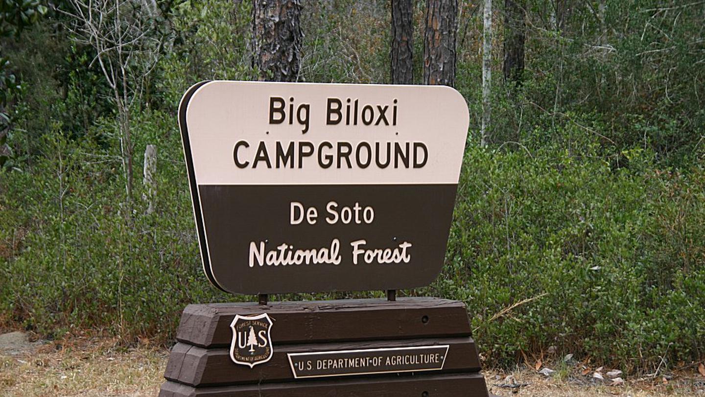
The nearest public campgrounds are Big Biloxi Recreation Area (9.2 mi), Cypress Creek Landing (19.6 mi, first-come), and Davis Bayou Campground (25.6 mi).
Source: Campgrounds nearby